MyTopo
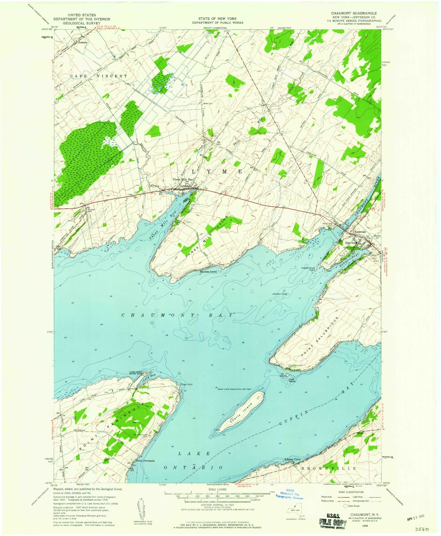
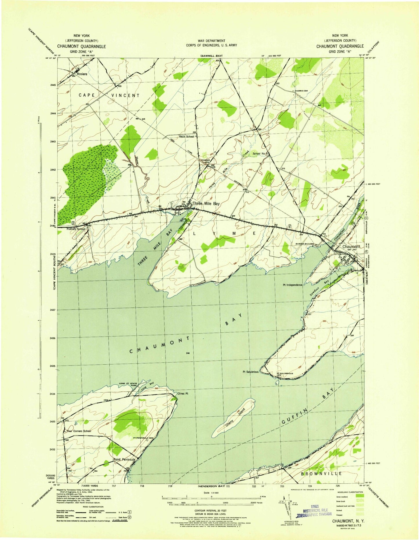
Classic USGS Chaumont New York 7.5'x7.5' Topo Map
Couldn't load pickup availability
Historical USGS topographic quad map of Chaumont in the state of New York. Typical map scale is 1:24,000, but may vary for certain years, if available. Print size: 24" x 27"
This quadrangle is in the following counties: Jefferson.
The map contains contour lines, roads, rivers, towns, and lakes. Printed on high-quality waterproof paper with UV fade-resistant inks, and shipped rolled.
Contains the following named places: Adams Cove, Barnes Bay Cemetery, Chaumont Bay, Chaumont River, Cherry Island, Clines Point, Crab Island, Croyle Island, Guffin Bay, Harder Cemetery, Harris Cemetery, Herrick Grove, Horse Creek, Independence Point, Johnson Shoal, Long Bay, Long Point State Park, Point Peninsula, Point Peninsula, Point Peninsula Cemetery, Point Salubrious, Point Salubrious Cemetery, Putman Cemetery, Rosiere, Sawmill Bay, Shaver Creek, Soper Creek, Three Mile Bay, Three Mile Bay, Three Mile Creek, Three Mile Point, Wells Cemetery, Chaumont, Squaw Island, Middle Shoal, Hickory Point, Herrick Shoal, Duck Bay, Fir Island, Cresent Marina, Hamilton Marina, Bourey Marina, Chaumont Harbor Light, Cresent Yacht Club, Stumble Inn Marina, The Last Resort, Kittos Marina, Chaumont Bay Airport (historical), Town of Lyme, Four Corners School (historical), Putman School (historical), School Number 8 (historical), Wells School (historical), Village of Chaumont, Salubrious Point Airport (historical), Three Mile Bay Census Designated Place, Bay Breeze Golf Links, All Saints Church, Victory Community Church, Lyme Free Library, Chaumont Post Office, Three Mile Bay Post Office, Lyme Central School, Three Mile Bay Fire Company, Chaumont Volunteer Fire Department