MyTopo
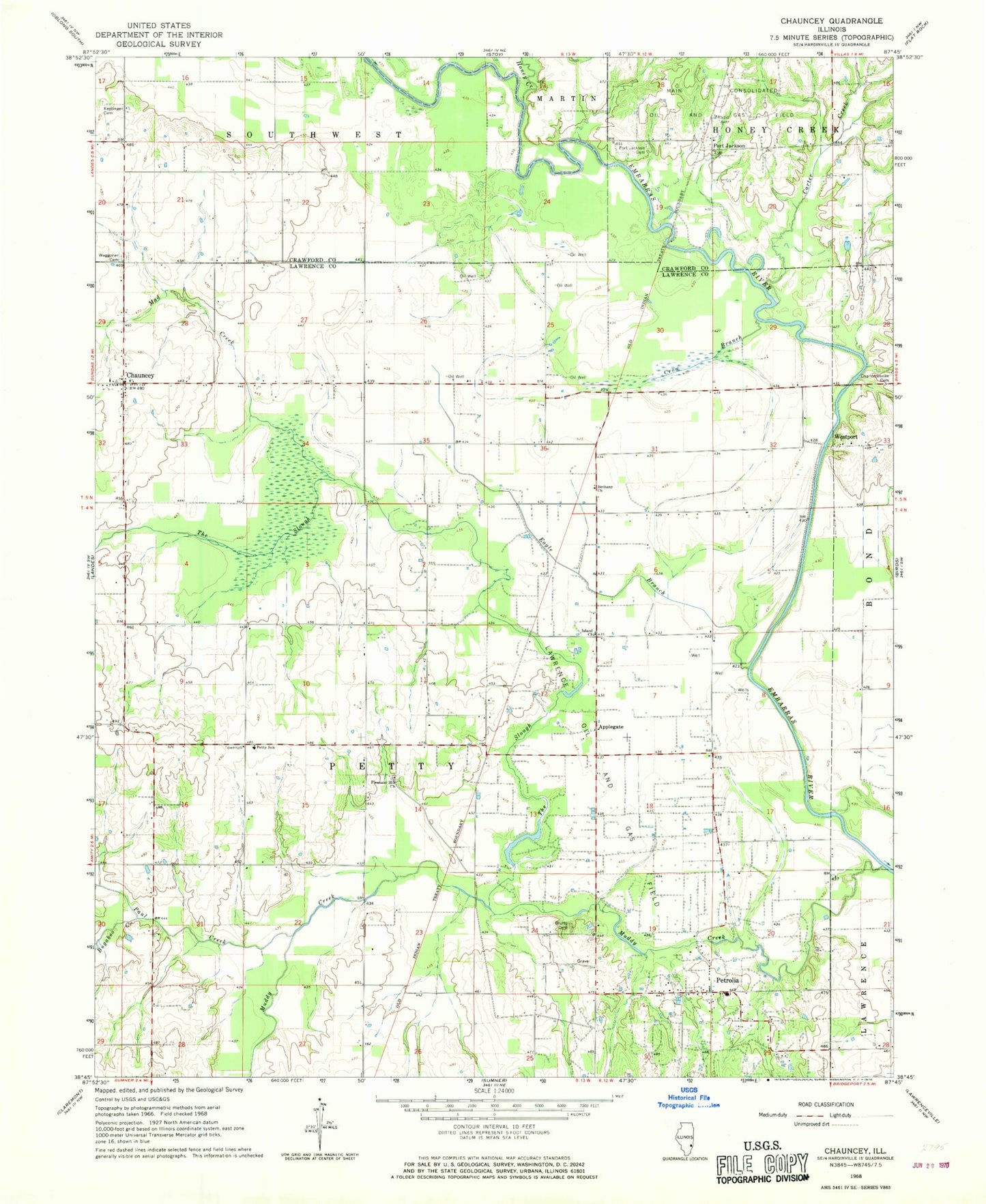
Classic USGS Chauncey Illinois 7.5'x7.5' Topo Map
Couldn't load pickup availability
Historical USGS topographic quad map of Chauncey in the state of Illinois. Map scale may vary for some years, but is generally around 1:24,000. Print size is approximately 24" x 27"
This quadrangle is in the following counties: Crawford, Lawrence.
The map contains contour lines, roads, rivers, towns, and lakes. Printed on high-quality waterproof paper with UV fade-resistant inks, and shipped rolled.
Contains the following named places: Applegate, Bethany Church, Bethany School, Bluffs Cemetery, Bugaboo Creek, Carter Creek, Charlottsville, Chauncey, Chauncey Marsh Nature Preserve, Christy Fire Protection District Station 2, Crow Branch, Eagle Branch, Hazledale School, Honey Creek, Island Church, Island School, Keplinger Cemetery, Mad Creek, Muddy Creek, Oak Ridge School, Paul Creek, Petrolia, Petrolia Fire Substation, Petty Elementary School, Petty School, Pinhook School, Pleasant Hill Church, Pleasant Ridge School, Pleasant View School, Port Jackson, Port Jackson Cemetery, Rich Valley School, Smith Ford, The Slough, Township of Petty, Township of Southwest, Valley School, Waggoner Cemetery, Westport


