MyTopo
Classic USGS Chavez Mountain East Arizona 7.5'x7.5' Topo Map
Couldn't load pickup availability
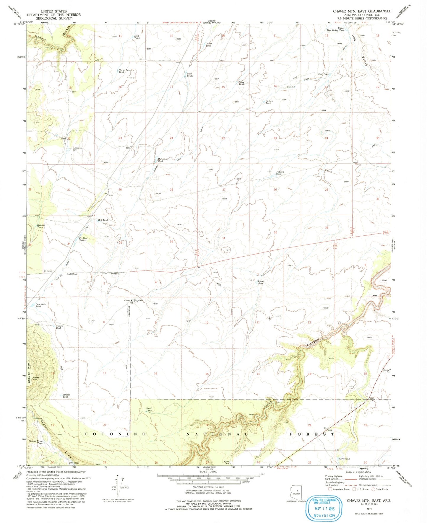
Historical USGS topographic quad map of Chavez Mountain East in the state of Arizona. Map scale may vary for some years, but is generally around 1:24,000. Print size is approximately 24" x 27"
This quadrangle is in the following counties: Coconino.
The map contains contour lines, roads, rivers, towns, and lakes. Printed on high-quality waterproof paper with UV fade-resistant inks, and shipped rolled.
Contains the following named places: Bypass Tank, Chavez Draw Tank, Chavez Mountain, Chavez Pass Ditch, Deep Well, Fourteen Inch Tank, Goslin Tank, Hart Tank, Horse Pasture Tank, Lute Hart Tank, Melbourne Dam, Melburn Tank, Mud Tank, New Tank, Pat Duke Tank, Perkins Tanks, Pieper Tank, Pollack Tank, Pyeatt Tank, Red Tank, Service Tank, Small Tank, State Antelope Trap, Twin Tanks, Upper Dog Valley Tank, Windy Tank