MyTopo
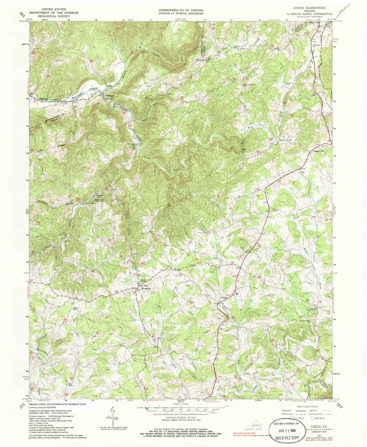
Classic USGS Check Virginia 7.5'x7.5' Topo Map
Couldn't load pickup availability
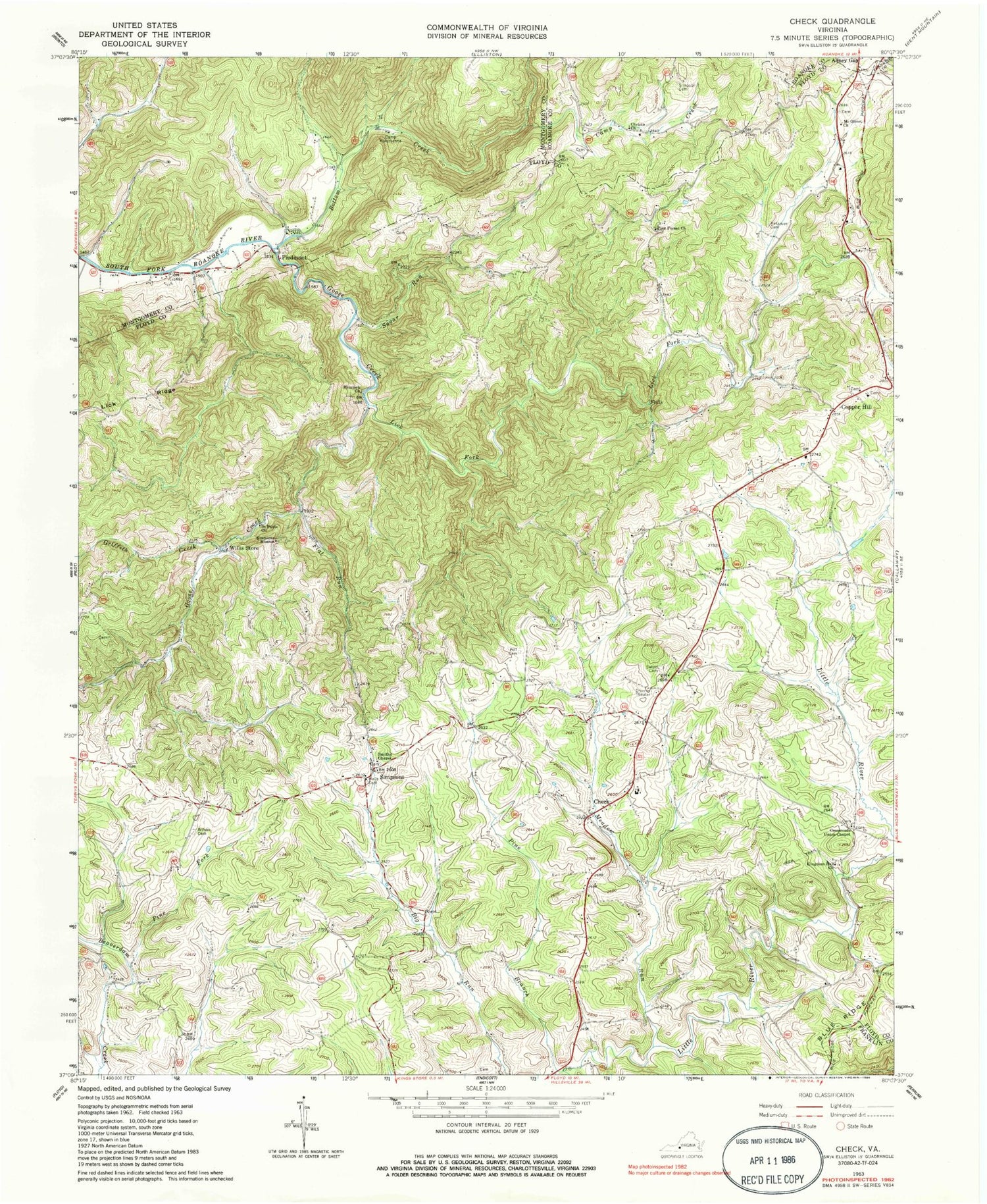
Historical USGS topographic quad map of Check in the state of Virginia. Typical map scale is 1:24,000, but may vary for certain years, if available. Print size: 24" x 27"
This quadrangle is in the following counties: Floyd, Franklin, Montgomery, Roanoke.
The map contains contour lines, roads, rivers, towns, and lakes. Printed on high-quality waterproof paper with UV fade-resistant inks, and shipped rolled.
Contains the following named places: Bottom Creek, Camp Creek, Camp Kiwanianna, Check, Christo Church, Crossroads Union Chapel, Flat Run, Goose Creek, Griffith Creek, Halls Cemetery, Hemlock Church, Kefauver Cemetery, Lick Fork, Meadow Run, Mount Olivet Church, Piedmont, Pine Branch, Pine Forest Church, Pine Fork, Poff Cemetery, Saint Pauls Church, Salem Cemetery, Simpson Cemetery, Simpsons, Simpsons Mission, Smiths Chapel, Sugar Run, Willis Store, Wilson Cemetery, Copper Hill, Check Elementary School, Copper Hill Church of the Brethren, Head of the River Church, Hemlock, Piedmont Camp Meeting Grounds Historic District, Tices Mill (historical), Locust Grove District, Floyd County Volunteer Fire Department 3, Floyd County Emergency Medical Services Station 3, Check Post Office, Copper Hill Post Office


