MyTopo
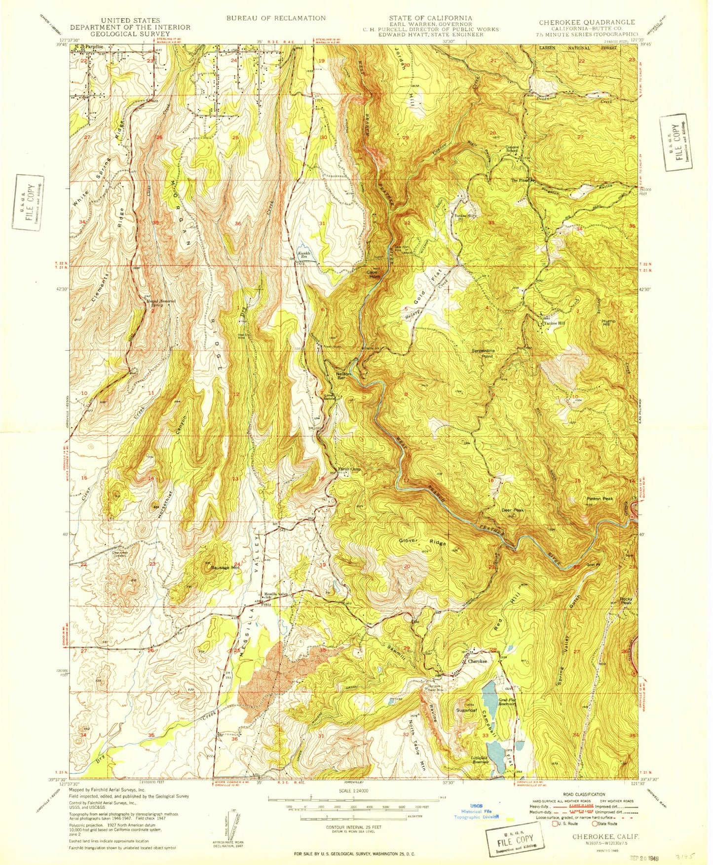
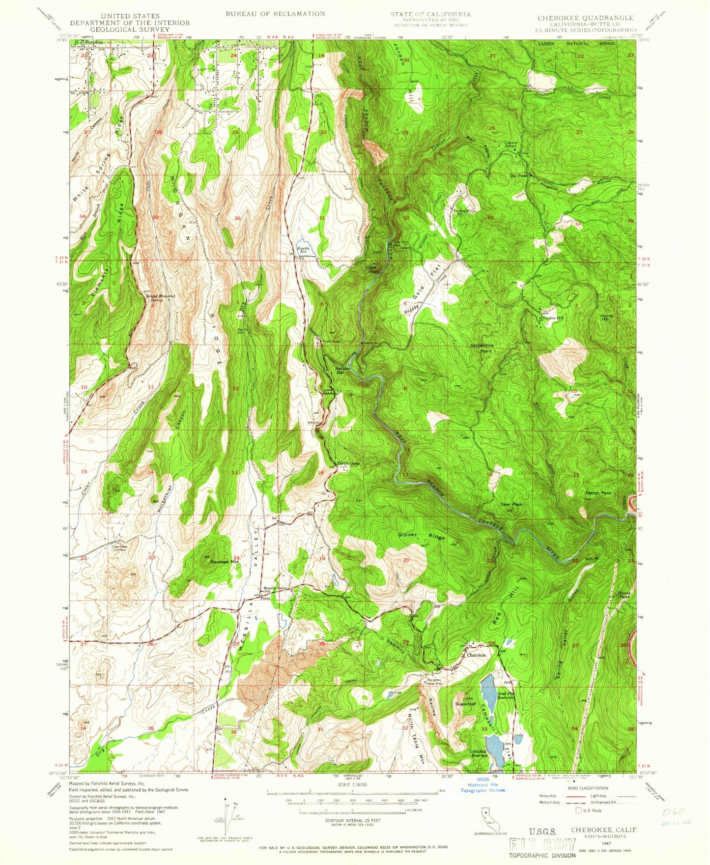
Classic USGS Cherokee California 7.5'x7.5' Topo Map
Couldn't load pickup availability
Historical USGS topographic quad map of Cherokee in the state of California. Map scale may vary for some years, but is generally around 1:24,000. Print size is approximately 24" x 27"
This quadrangle is in the following counties: Butte.
The map contains contour lines, roads, rivers, towns, and lakes. Printed on high-quality waterproof paper with UV fade-resistant inks, and shipped rolled.
Contains the following named places: Blair Ravine, Butte County, Butte County Fire Department Station 37, Butte County Fire Department Station 67, Campbell Flat, Cape Horn, Cherokee, Cherokee Census Designated Place, Cherokee Placer Mine, Cherokee Town Cemetery, Clark Cemetery, Clear Creek Cemetery, Clements Ridge, Concow, Concow Creek, Concow Elementary School, Craig Memorial Congregational Church, Deadwood, Deadwood Creek, Deer Peak, First Christian Church, Glover Ridge, Goat Point, Gold Flat, Grub Flat 344-002 Dam, Grub Flat Reservoir, Hodapp Creek, Horsethief Canyon, Hump Hill, James, Jordan Hill, Kunkle 97-007 Dam, Kunkle Reservoir, Lime Saddle, Lime Saddle Memorial Park, Lime Saddle Powerhouse, Littlefield 1341 Dam, Littlefield Reservoir, McKay Ridge, Messilla Valley, Messilla Valley School, Morgan Ridge, Nelson Bar, New Era Mine, North Table Mountain, Paradise Fire Department Station 82, Paradise Skypark, Parish Camp, Parish Camp Saddle Dam, Patton Peak, Pentz, Pinkston Canyon, Red Hill, Rich Gulch, Rocky Peak, Rotary Grove Park, Saddle Creek Ranch, Sausage Mountain, Sawmill Ravine, Serpentine Point, Spring Valley Elementary School, Spring Valley Gulch, Sugarloaf, The Church of Jesus Christ of Latter Day Saints, The Pines, Tom Jones Reservoir, Trickling Creek, Upper Miocene Canal, Vinton Gulch, West Branch Bridge, West Branch Feather River, White Spring Ridge, Wilenor Ditch, Wilson Reservoir, Yankee Hill, Yankee Hill Cemetery, Yankee Hill Census Designated Place, Yankee Hill Post Office


