MyTopo
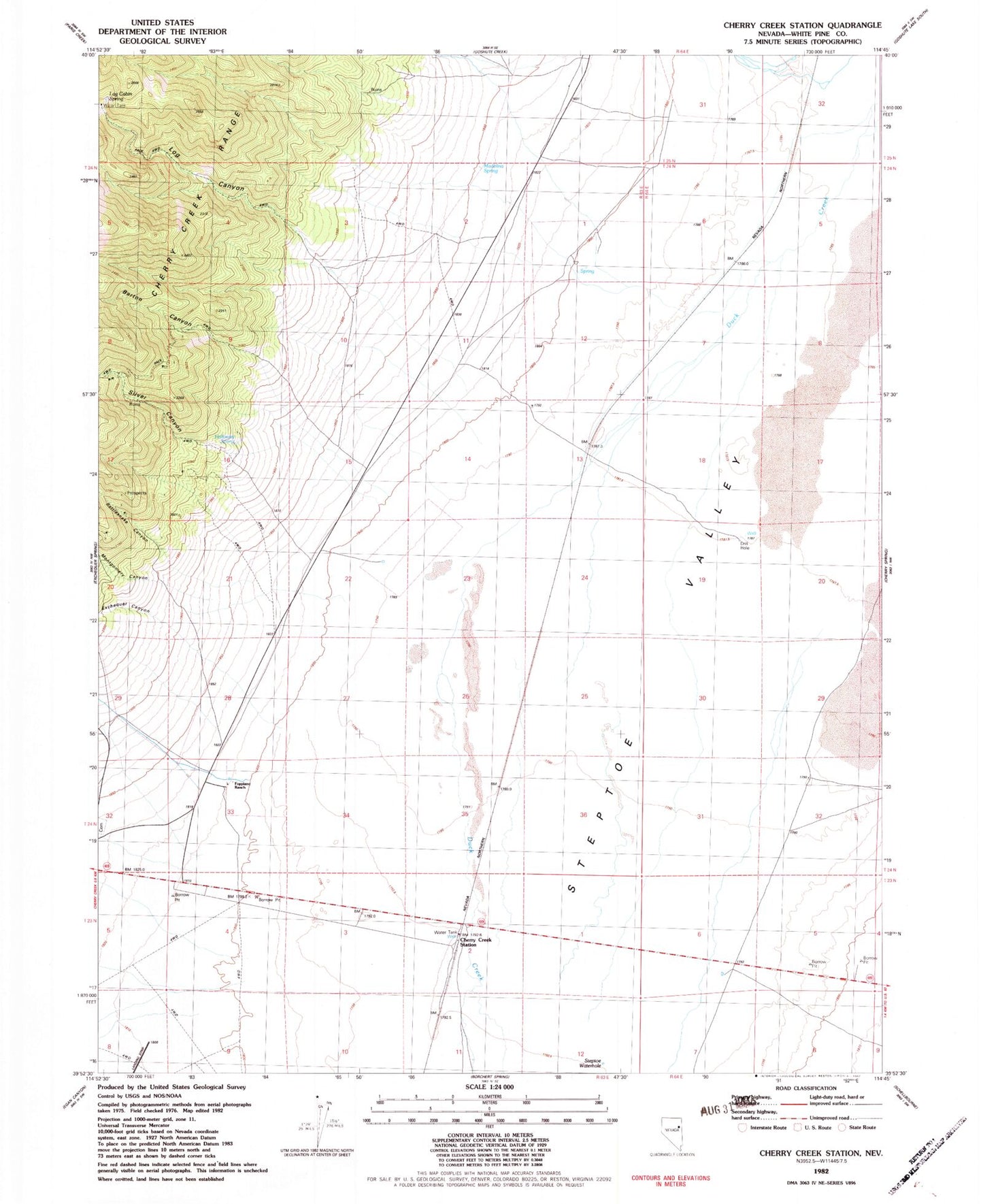
Classic USGS Cherry Creek Station Nevada 7.5'x7.5' Topo Map
Couldn't load pickup availability
Historical USGS topographic quad map of Cherry Creek Station in the state of Nevada. Map scale may vary for some years, but is generally around 1:24,000. Print size is approximately 24" x 27"
This quadrangle is in the following counties: White Pine.
The map contains contour lines, roads, rivers, towns, and lakes. Printed on high-quality waterproof paper with UV fade-resistant inks, and shipped rolled.
Contains the following named places: Barton Canyon, Black Metal Mine, Cherry Creek, Cherry Creek Hot Springs, Cherry Creek Station, Exchequer Canyon, Foppiano Ranch, Gypsy Mine, Halloway Spring, Log Cabin Spring, Log Canyon, Madelina Spring, Montgomery Canyon, Rattlesnake Canyon, Silver Canyon, Social Company Mill, Spring Gulch Well, Steptoe Waterhole