MyTopo
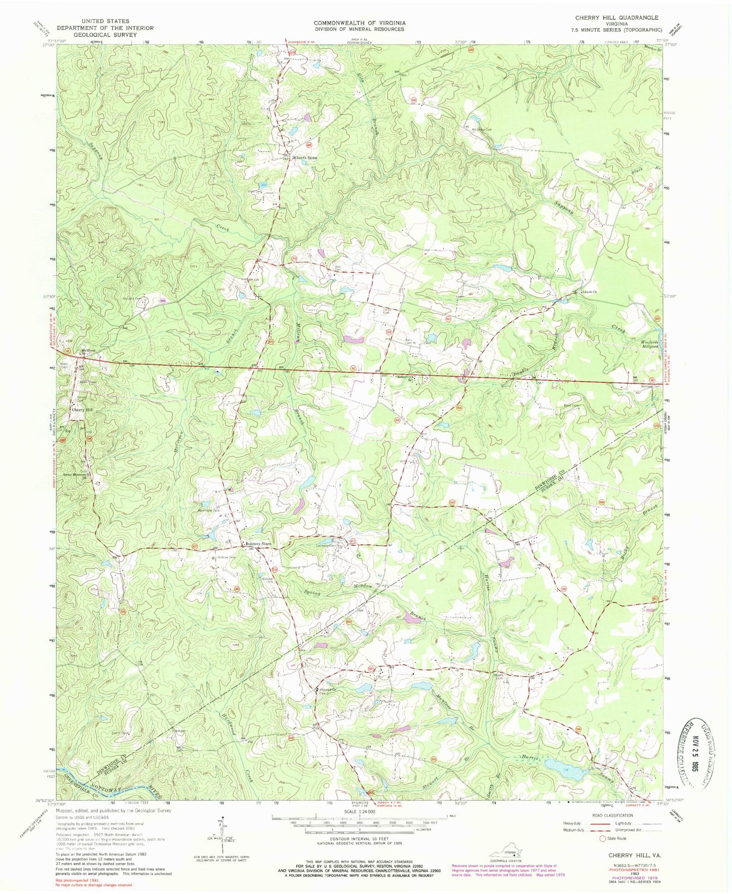
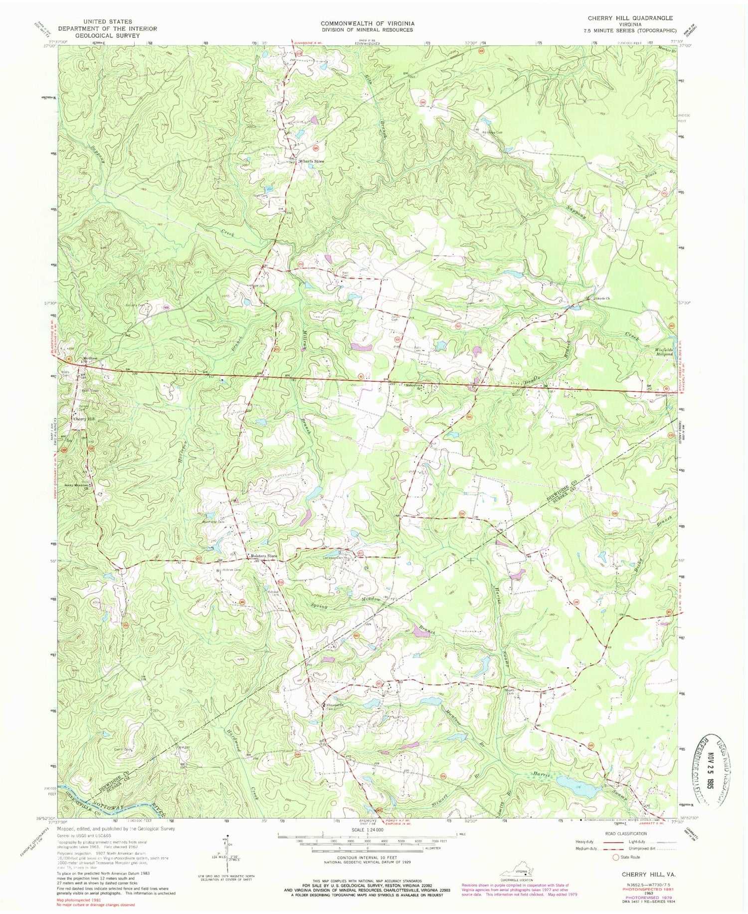
Classic USGS Cherry Hill Virginia 7.5'x7.5' Topo Map
Couldn't load pickup availability
Historical USGS topographic quad map of Cherry Hill in the state of Virginia. Map scale may vary for some years, but is generally around 1:24,000. Print size is approximately 24" x 27"
This quadrangle is in the following counties: Dinwiddie, Greensville, Sussex.
The map contains contour lines, roads, rivers, towns, and lakes. Printed on high-quality waterproof paper with UV fade-resistant inks, and shipped rolled.
Contains the following named places: Abernathy Cemetery, Bain Cemetery, Barner Cemetery, Barnes Cemetery, Boisseau Cemetery, Bolster Cemetery, Bolsters Store, Carraway Cemetery, Cherry Hill, Concord Cemetery, Concord Church, Concord School, Double Branch Creek, Galusha Cemetery, Goodwyn School, Greenfield School, Horsepen Branch, Jones Cemetery, Lloyds Church, Manlove Branch, Masons School, Masontown School, Mayes Cemetery, Mayes Dam, Mayes Pond, Millrun Branch, Mount Olivet, Mount Olivet Church, Old Hickory Volunteer Fire Department Station 5, Parsons Number One Dam, Parsons Number One Pond, Parsons Number Two Dam, Parsons Number Two Pond, Pine Forest School, Reed Cemetery, Rideout Cemetery, Rita Branch, Rocky Mountain Church, Rocky Mountain School, Rose Cemetery, Smith Branch, Spring Meadow Branch, Stewart Branch, Truit, Wells Cemetery, Wharfs Store


