MyTopo
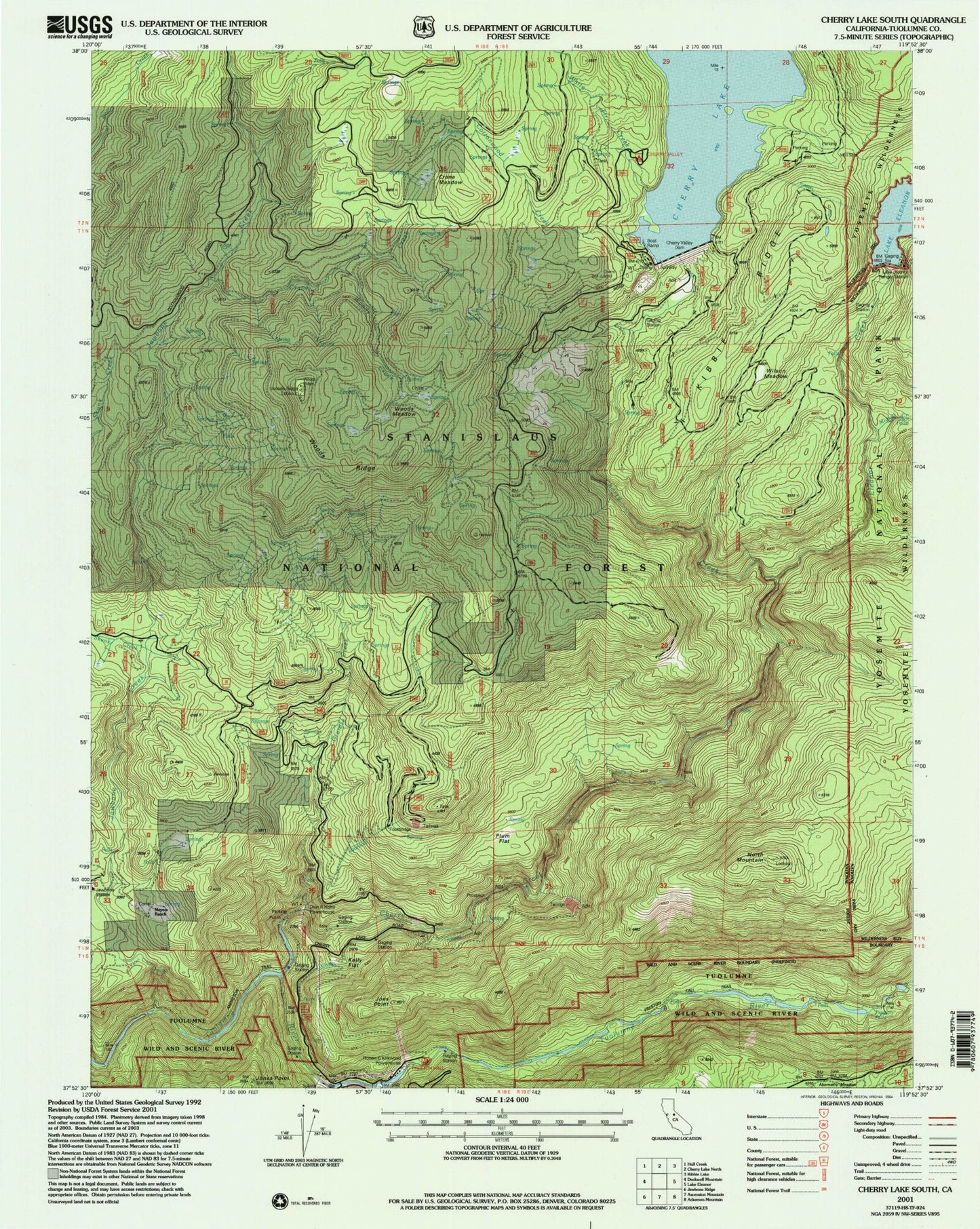
Classic USGS Cherry Lake South California 7.5'x7.5' Topo Map
Couldn't load pickup availability
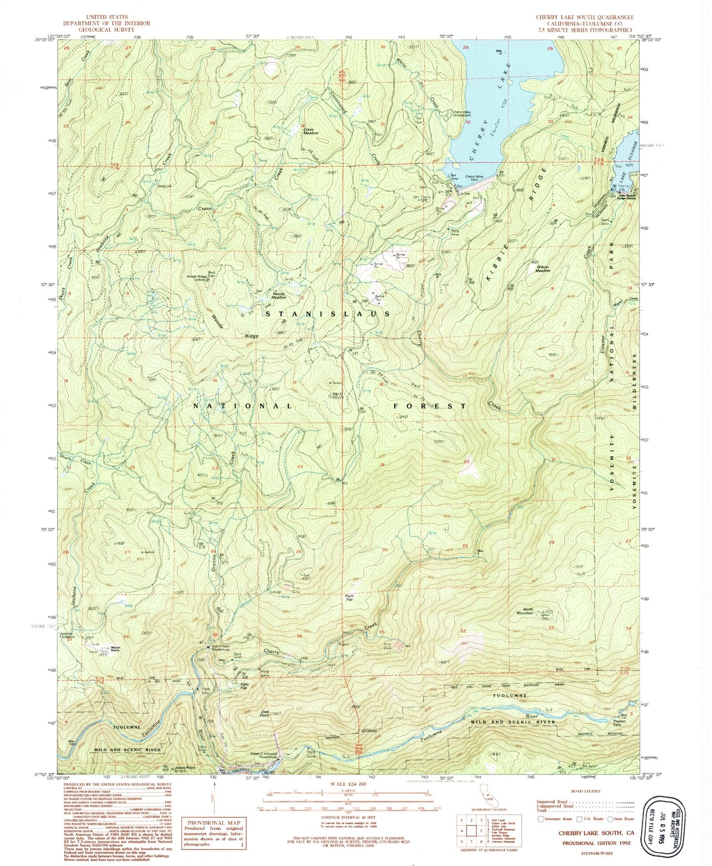
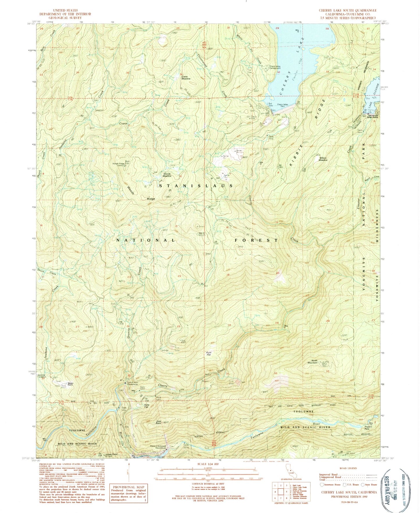
Historical USGS topographic quad map of Cherry Lake South in the state of California. Map scale may vary for some years, but is generally around 1:24,000. Print size is approximately 24" x 27"
This quadrangle is in the following counties: Tuolumne.
The map contains contour lines, roads, rivers, towns, and lakes. Printed on high-quality waterproof paper with UV fade-resistant inks, and shipped rolled.
Contains the following named places: Abernathy Meadow, Camp Forty Three, Camp Fourty Four, Cherry Creek, Cherry Valley Campground, Cherry Valley Dam, Cottonwood Creek, Crane Creek, Crane Meadow, Dion R Holm Powerhouse, Early Intake 9-000 Dam, Early Intake Powerhouse, Eleanor Creek, Granite Creek, Jawbone Creek, Jawbone Station, Joes Point, Jones Point, Jones Point Lookout, Kelly Flat, Lake Eleanor 9-002 Dam, Lake Eleanor Campgound, Lake Eleanor Ranger Station, Lower Cherry Aqueduct, Meyers Ranch, Miguel Creek, North Mountain, North Mountain Lookout, Plum Flat, Preston Falls, Robert C Kirkwood Powerhouse, Skunk Creek, White Fir Creek, Wilson Meadow, Woods Creek, Woods Meadow, Woods Ridge, Woods Ridge Lookout