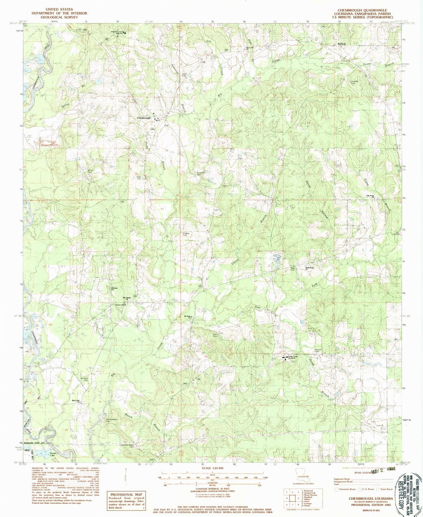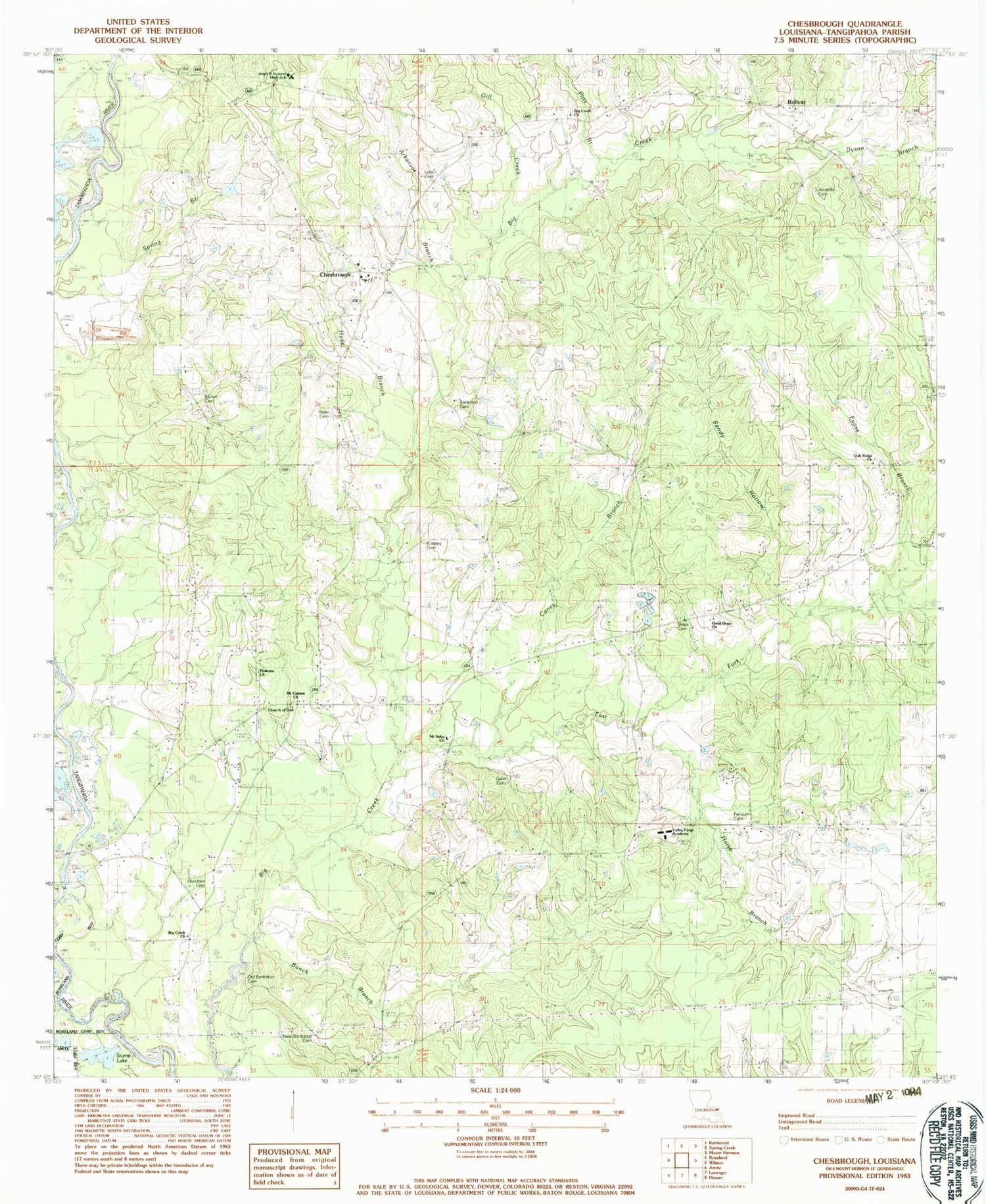
MyTopo
Classic USGS Chesbrough Louisiana 7.5'x7.5' Topo Map
Couldn't load pickup availability
Historical USGS topographic quad map of Chesbrough in the state of Louisiana. Map scale may vary for some years, but is generally around 1:24,000. Print size is approximately 24" x 27"
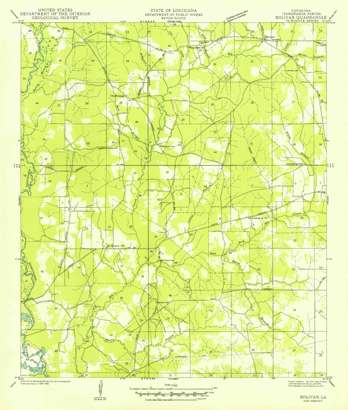
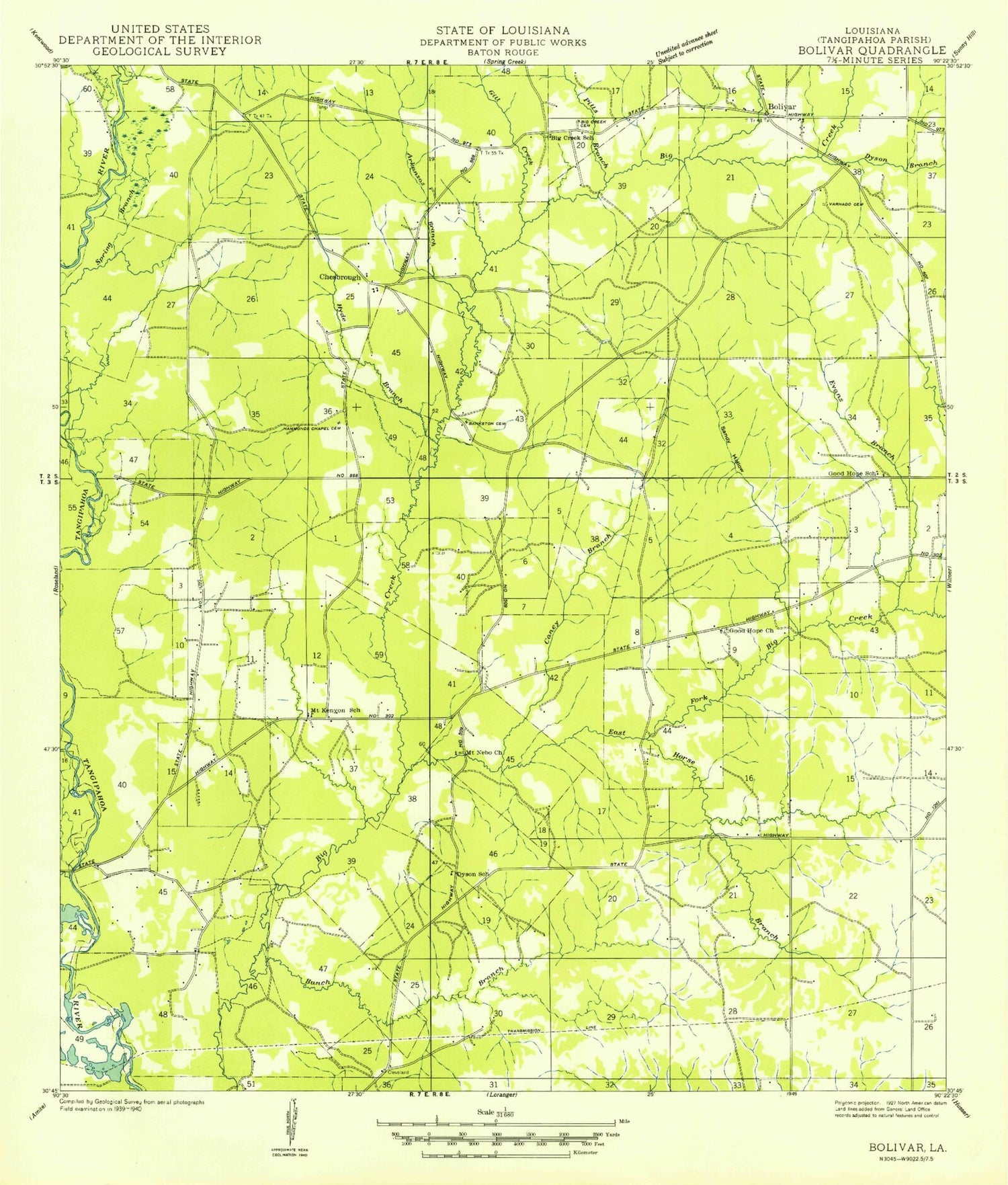
This quadrangle is in the following counties: Tangipahoa.
The map contains contour lines, roads, rivers, towns, and lakes. Printed on high-quality waterproof paper with UV fade-resistant inks, and shipped rolled.
Contains the following named places: Arkansas Branch, Bankston Cemetery, Barron Cemetery, Big Creek African Methodist Episcopal Church, Big Creek Church, Bolivar, Bolivar Baptist Church, Bradley / White Cemetery, Bunch Branch, Caney Branch, Chesbrough, Chesbrough Baptist Church, Chesbrough Elementary School, Church of God, Dees Branch, Dees Cemetery, Dyson Branch, East Fork Big Creek, Evans Branch, Evans Pond Dam, Fairburn Cemetery, Gill Creek, Good Hope Church, Goodbee Cemetery, Gordon Harrell's Church of God in Christ, Gunn Cemetery, Hamilton Creek, Holiness Church, Horse Branch, Hyde Branch, Hyde Cemetery, Jewel M Sumner High School, Lebo Cemetery, Littles Pond Dam, Mount Canaan Missionary Baptist Church, Mount Canion Church, Mount Kenyon School, Mount Nebo Baptist Church, New Bankston Cemetery, Oak Ridge Church, Old Bankston Cemetery, Pitts Branch, Sandy Hollow, Sandy Hollow Wildlife Management Area, Springview Country Club, Stump Lake, Valley Forge Academy, Varnado Cemetery, Ward Four, Wilmer Oil Field