MyTopo
Classic USGS Chesnee South Carolina 7.5'x7.5' Topo Map
Couldn't load pickup availability
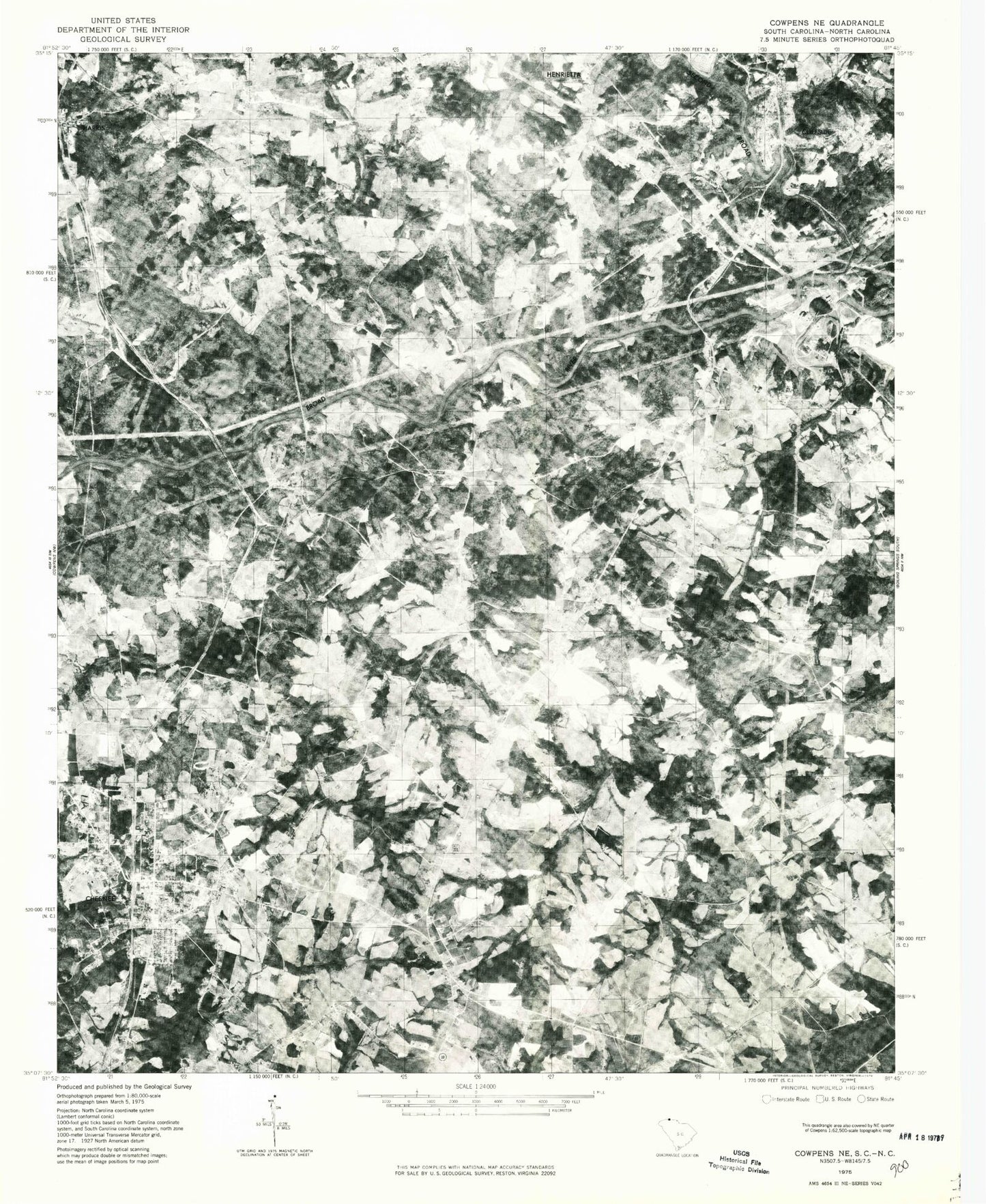
Historical USGS topographic quad map of Chesnee in the states of South Carolina, North Carolina. Map scale may vary for some years, but is generally around 1:24,000. Print size is approximately 24" x 27"
This quadrangle is in the following counties: Cherokee, Cleveland, Rutherford, Spartanburg.
The map contains contour lines, roads, rivers, towns, and lakes. Printed on high-quality waterproof paper with UV fade-resistant inks, and shipped rolled.
Contains the following named places: Battle Grounds School, Big Horse Creek, Boomerang Airport, Brice, Briscoe Family Cemetery, Burke Cemetery, Burlington Dam, Burlington Lake, Byars Cemetery, Calvary Cemetery, Calvery Church, Cane Creek, Chase High School, Cherokee Creek Volunteer Fire Department, Cherokee Creek Volunteer Fire Department Station 2, Chesnee, Chesnee City Fire Department, Chesnee Elementary School, Chesnee High School, Chesnut School, City of Chesnee, Cliffside, Cliffside Area Volunteer Fire Department, Cliffside Cemetery, Cliffside Census Designated Place, Cliffside Elementary School, Cliffside Post Office, Cowpens National Battlefield, Crestview Cemetery, Crestview Church, Cudds Creek Pond, Cudds Creek Pond Dam D-3322, Ezell, Ferry Store, Floyds Creek, Floyds Creek Baptist Church Cemetery, Floyds Creek Church, Floyds Creek School, Gethsemanie Baptist Church Graveyard, Goodes Creek, Goodes Creek Cemetery, Goodes Creek Church, Grace Chapel, Greenes Lake, Harris, Harris Elementary School, Harris First Baptist Church Cemetery, Harris Lake, Harris Post Office, Hicks Grove Church, High Shoals Church, Hills Creek, Horton Cemetery, Humphries Mill, Jerusalem Baptist Church Cemetery, Jerusalem Church, Johnson Cemetery, Jolleys Lake, Little Horse Creek, Martin Family Cemetery, Morgan Elementary School, New Bethel Baptist Cemetery, Painter Cemetery, Prospect Church, Riddles Creek, Riverside Baptist Church Graveyard, Riverside Church, Rutherford County Lifesaving Crew, Rutherford County Memorial Cemetery, Scruggs Cemetery, Scruggs Lake, Second Broad River, South Carolina Noname 11015 D-3400 Dam, Spring Hill Memorial Gardens, State Line, State Line Baptist Church, State Line Baptist Church Cemetery, State Line School, State Line Ultraport/Flightpark, Suck Creek Baptist Church, Suck Creek Baptist Church Graveyard, Township of High Shoals, Turner Field