MyTopo
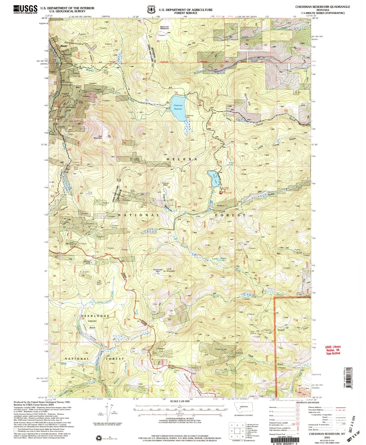
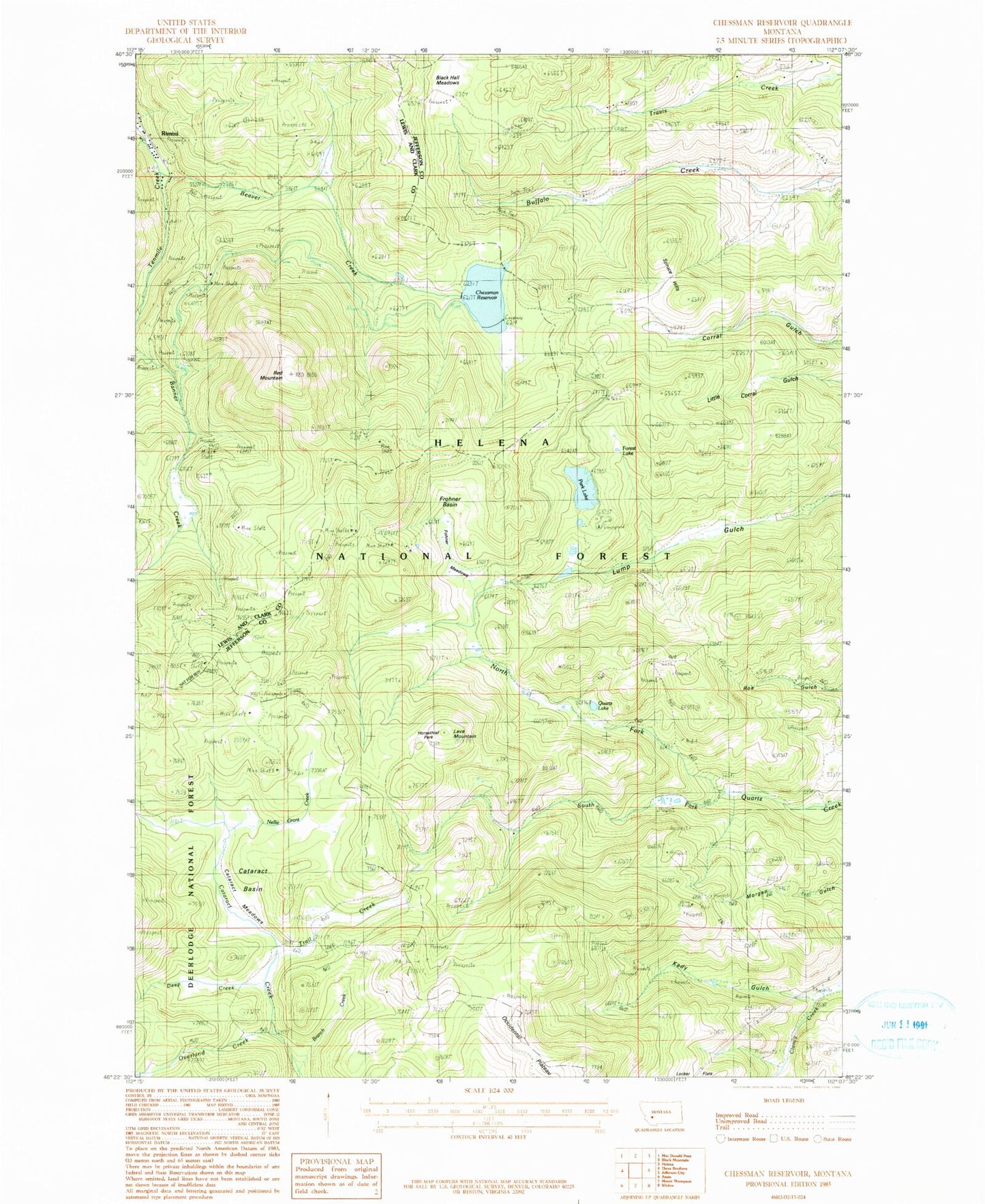
Classic USGS Chessman Reservoir Montana 7.5'x7.5' Topo Map
Couldn't load pickup availability
Historical USGS topographic quad map of Chessman Reservoir in the state of Montana. Map scale may vary for some years, but is generally around 1:24,000. Print size is approximately 24" x 27"
This quadrangle is in the following counties: Jefferson, Lewis and Clark.
The map contains contour lines, roads, rivers, towns, and lakes. Printed on high-quality waterproof paper with UV fade-resistant inks, and shipped rolled.
Contains the following named places: 07N04W05CDCD01 Well, 07N04W08BDBB01 Well, Alsace Mine, Argentine Mine, Atlanta Mine, Beaver Creek, Belle, Black Hall Meadows, Black Hawk, Branch Creek, Bunker Hill, Cataract Basin, Chessman Main Dam, Chessman Reservoir, Chessman Saddle Dam, Clontart/Carp, Conflict, Corbitt Mine, Crescent Mine, Crescent Post Office, Dalney, Deep Creek, Delanie Mine, Eureka, Evergreen - Lower Evergreen Mine, Fairview, Forest Lake, Frohner Basin, Frohner Meadows, Frohner Mine, Garfield, General Grant Mine, Gould Diggings, Green Tree, H Grattan, Helena, Horsethief Park, Ida May Mine, Jumbo, Kady Gulch, Knight Gwinne, Lava Mountain, Lexington, Little Sampson Mine, Lone Eagle Mine, Lulu, Mary Aloys, Micawber, Morgan Gulch Mine, National Extension 79 Mine, NE NE Section 28 Mine, NE SE Section 4, NE SW Section 34 Mine, NE Three Brothers Mine, Nellie Grant Creek, Nellie Grant Mine, New Castle, North Fork Quartz Creek, North Pacific, NW NE Section 16, NW NW Section 34, NW NW Section 9, NW SE S33, NW SE Section 16, NW SW Section 27 Mine, NW SW Section 3 Mine, Occidental Plateau, Ousley Mine, Overland Creek, Park Lake, Park Lake Campground, Park Lake Fishing Access Site, Peerles Jenny, Peerless King, Peerless Mine, Perseverance, Pilgrim, Quartz Lake, Queensbury, Red Mountain, Red Mountain Junction, Rimini, Rimini Census Designated Place, Rimini Post Office, Rimini School, Rob Roy, S P Bassett, Sallie Bell, SE NE Section 28 Mine, SE NE Section 33, SE NE Section 4, SE NW Section 30 Mine, SE SE Section 10, SE SE Section 21 Mine, SE SE Section 3, SE SW Section 2 Mine, SE SW Section 9 Mine, South Fork Quartz Creek, South Pacific, Spruce Hills, SW SW Section 23 Mine, Trail Creek, Treasury Number 1, Vandalia Mine, Vaughn Post Office, W A Alley