MyTopo
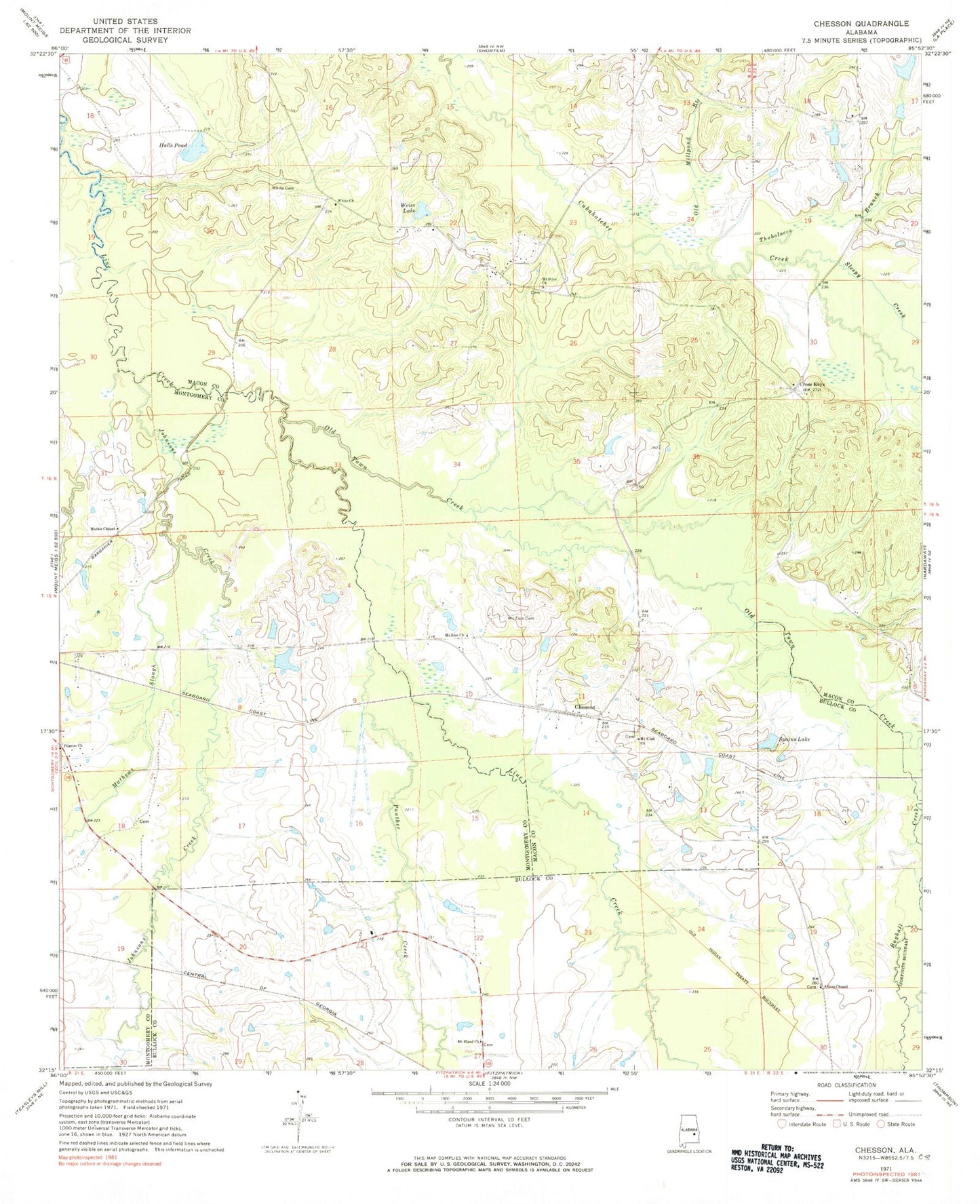
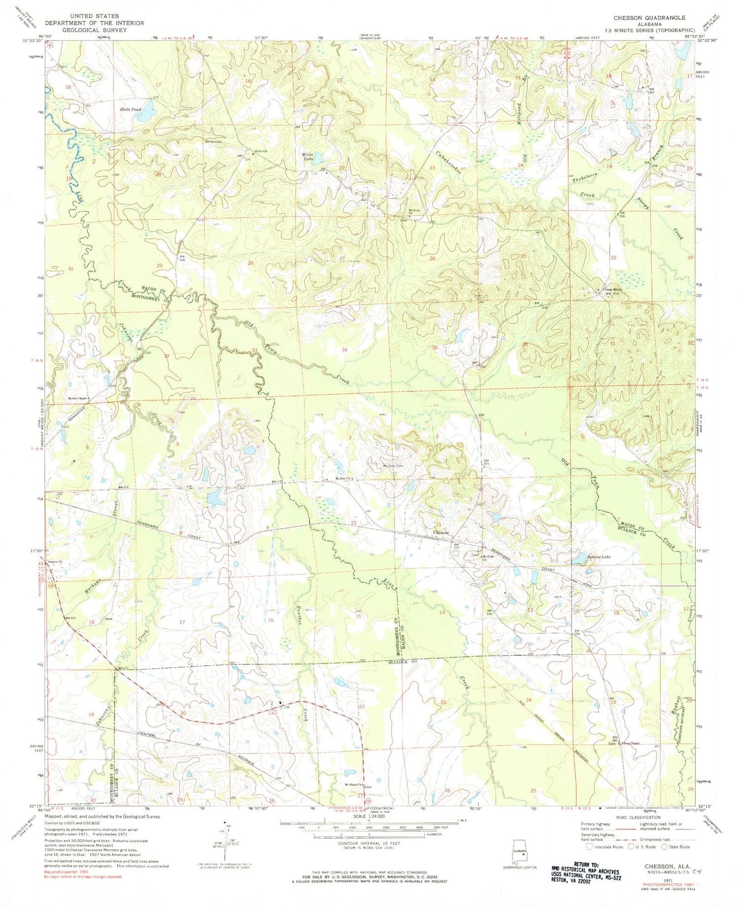
Classic USGS Chesson Alabama 7.5'x7.5' Topo Map
Couldn't load pickup availability
Historical USGS topographic quad map of Chesson in the state of Alabama. Map scale may vary for some years, but is generally around 1:24,000. Print size is approximately 24" x 27"
This quadrangle is in the following counties: Bullock, Macon, Montgomery.
The map contains contour lines, roads, rivers, towns, and lakes. Printed on high-quality waterproof paper with UV fade-resistant inks, and shipped rolled.
Contains the following named places: Allens Chapel, Baca Dam, Baca Lake, Bughall Creek, Chesson, Cross Keys, Halls Pond, Jack Lacey Number 2 Dam, Johnsons Creek, Lacey Lake Number 2, Mathews Slough, Mathis Chapel, McDowell Creek, Mount Eland Church, Mount Olive Cemetery, Mount Olive Church, Mount Silah Church, Mount Zion Cemetery, Mount Zion Church, Old Millpond Branch, Old Town Creek, Oswalt Cemetery, Panther Creek, Pilgrim Church, Saint Lukes Church, Saint Marys Church, Shorter-Hardaway Division, Silah Cemetery, Sleepy Creek, Spains Lake, Thobolocco Branch, Weiss Lake, White Cemetery, White Church, ZIP Code: 36013


