MyTopo
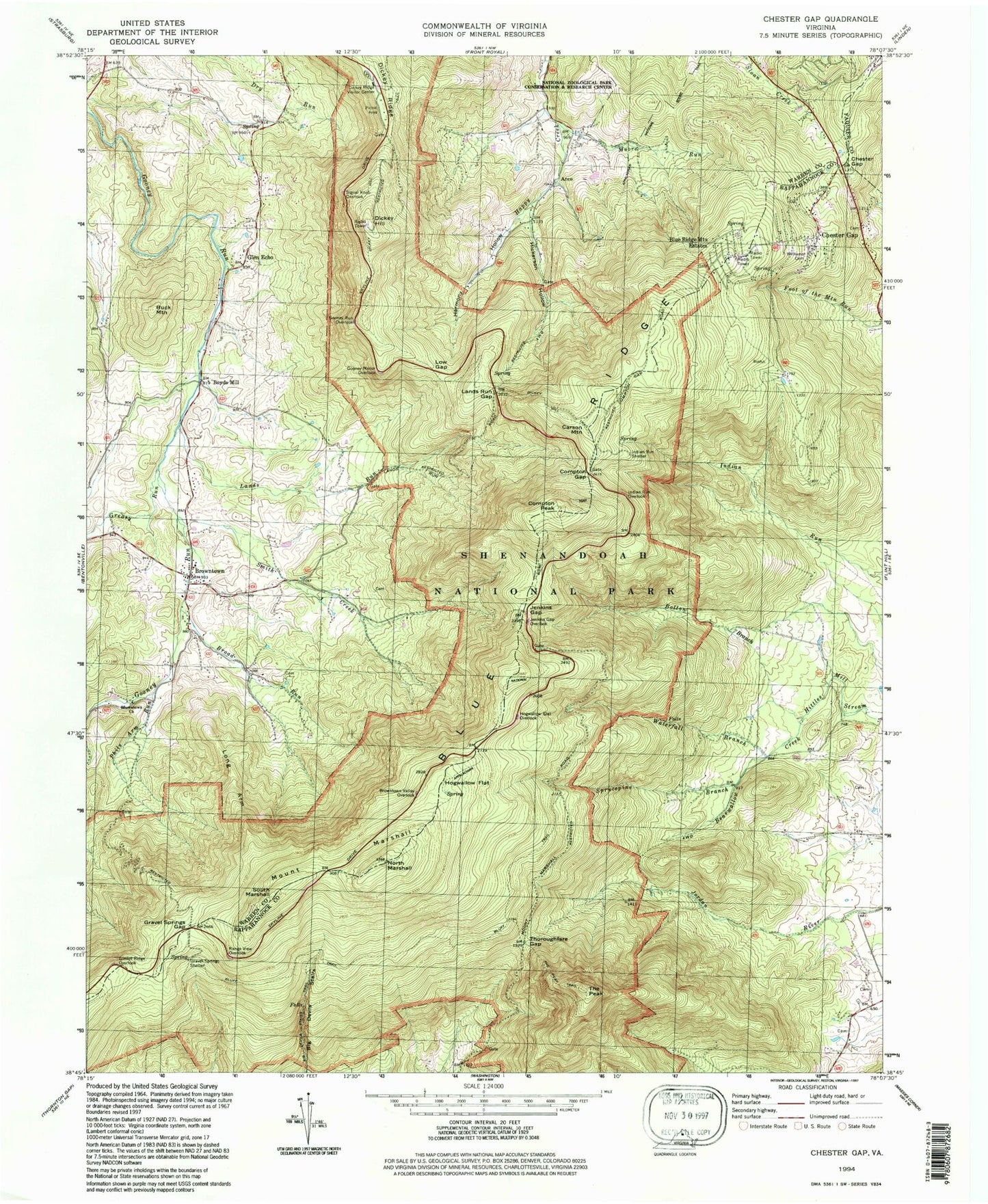
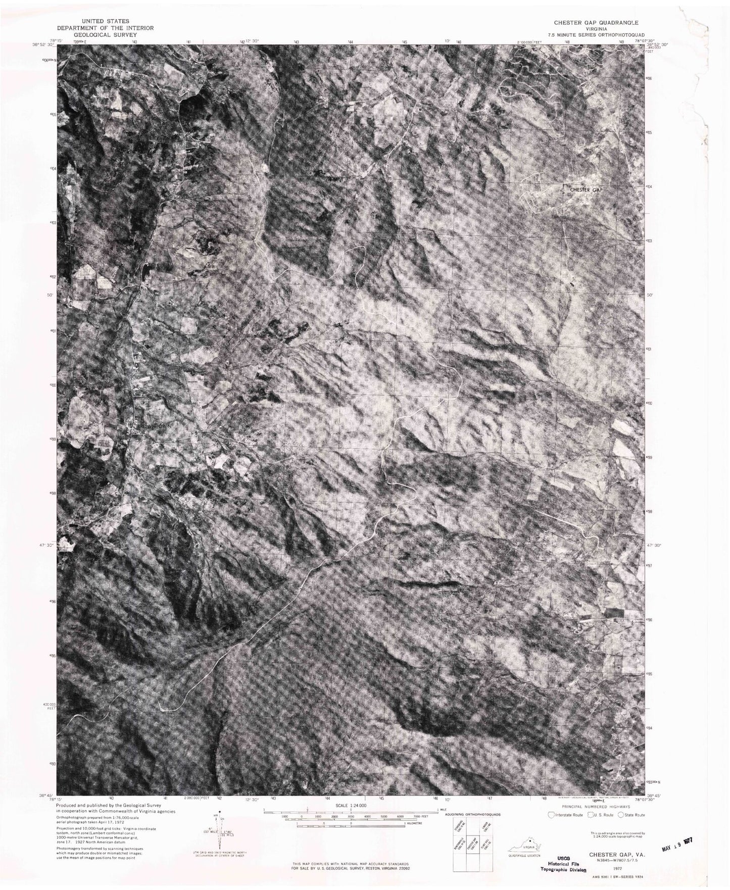
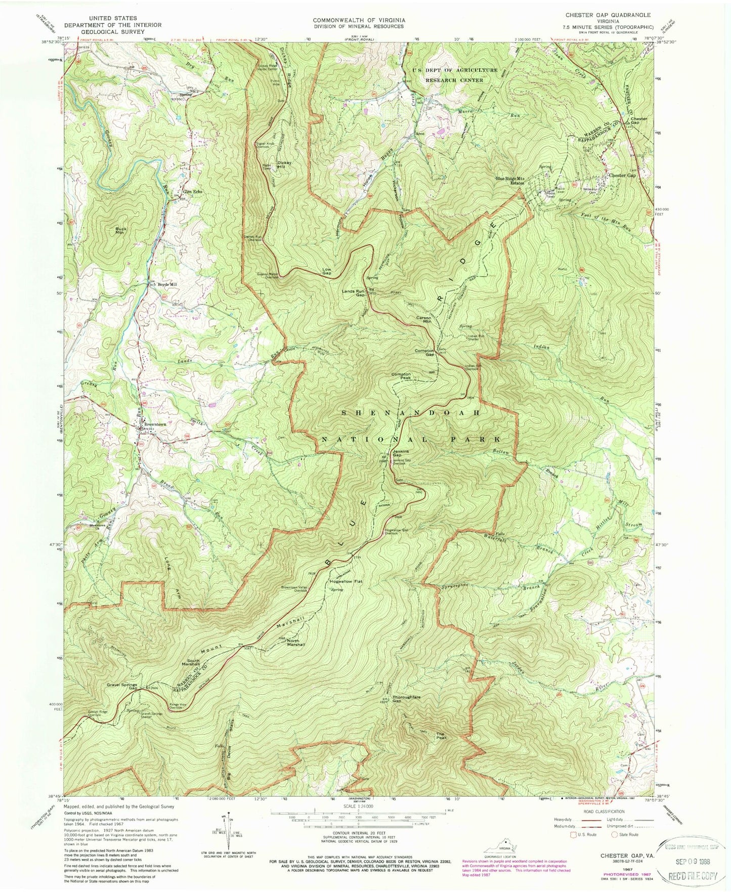
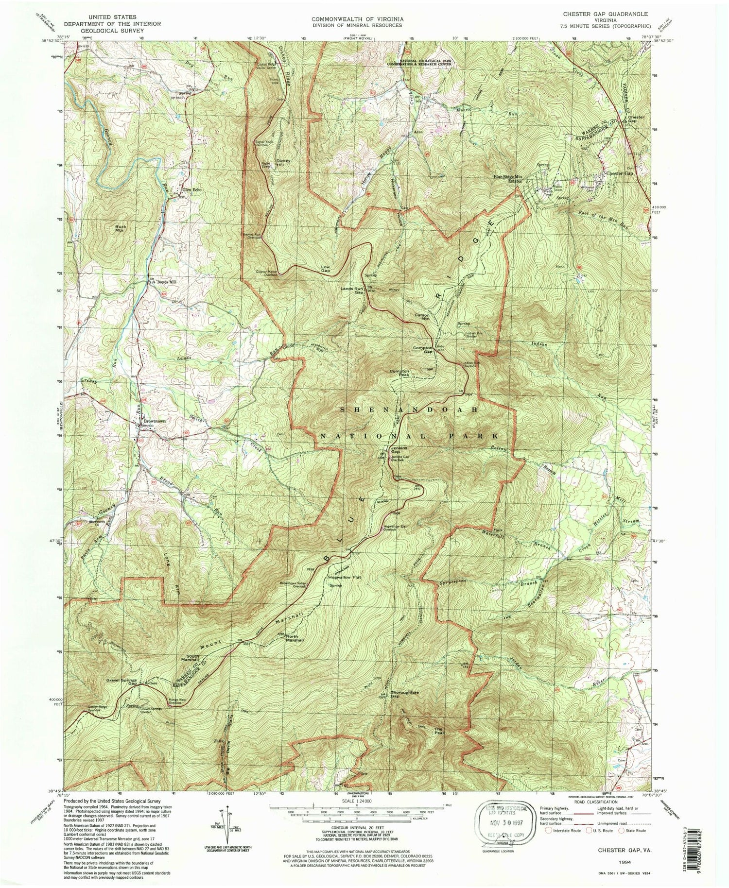
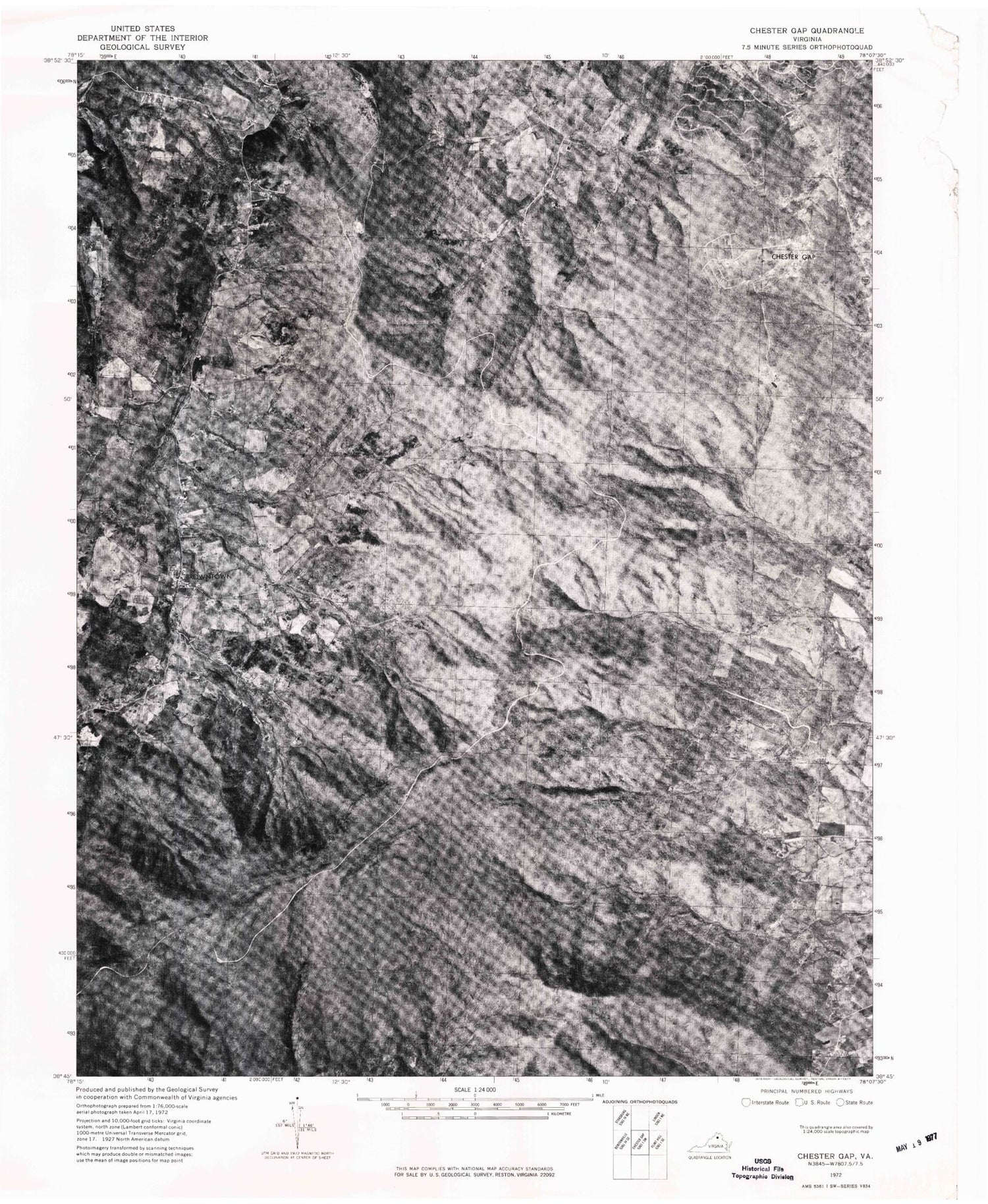
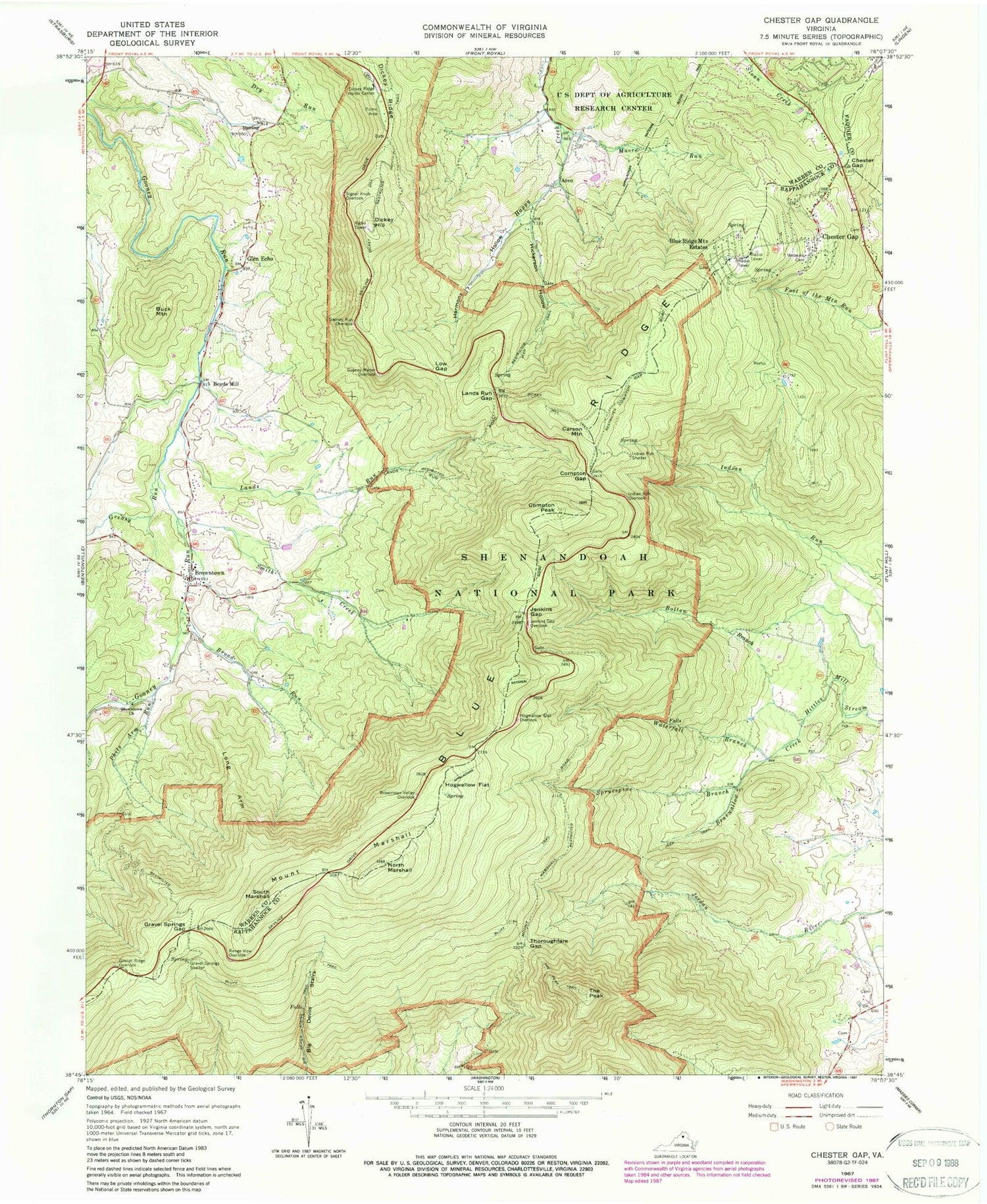
Classic USGS Chester Gap Virginia 7.5'x7.5' Topo Map
Couldn't load pickup availability
Historical USGS topographic quad map of Chester Gap in the state of Virginia. Typical map scale is 1:24,000, but may vary for certain years, if available. Print size: 24" x 27"
This quadrangle is in the following counties: Fauquier, Rappahannock, Warren.
The map contains contour lines, roads, rivers, towns, and lakes. Printed on high-quality waterproof paper with UV fade-resistant inks, and shipped rolled.
Contains the following named places: Bearwallow Creek, Big Devils Stairs Trail, Bluff Trail, Bolton Branch, Broad Run, Browntown Church, Browntown Valley Overlook, Buck Mountain, Chester Gap, Compton Gap, Compton Peak, Dickey Hill, Dickey Hill Trail, Dickey Ridge, Dickey Ridge Visitor Center, Gimlet Ridge Overlook, Gooney Manor Overlook, Gooney Run Overlook, Gravel Springs Gap, Gravel Springs Shelter, Harmony Hollow, Hickerson Hollow, Hogwallow Flat, Hogwallow Flat Overlook, Indian Run Overlook, Indian Run Shelter, Jenkins Gap, Jenkins Gap Overlook, Lands Run, Lands Run Gap, Long Arm, Low Gap, Moore Run, North Marshall, Phils Arm Run, Range View Overlook, Signal Knob Overlook, Smith Creek, South Marshall, Sprucepine Branch, The Peak, The Peak Trail, Thoroughfare Gap, Waterfall Branch, Williams Cemetery, Boyds Mill, Greasy Run, Sullivans Dam, Sullivan Lake, Arco, Blue Ridge Mountains Estates, Browntown, Carson Mountain, Chester Gap, Glen Echo, Mount Marshall, Laureldale School (historical), Shenandoah Homesteads Project, Harmony Hollow School (historical), Bonnie Glen, Browntown Baptist Church, Lake Culpeper, Curl Farm, Front Royal-Warren County Amphitheater, Glenn Manor Tree Farm, Glenway Farm, Gooney Creek Tree Farm, Harmony Hollow Orchard, Joy Spring, Lake Front Royal, Liberty Hall, Northern Virginia 4H Educational and Conference Center, Point O'Woods, Poor House Farm, Sea Lock, Skyline View Mobile Home Park, South River Primitive Baptist Church, Sundown, The Cove, Triple M Farm, Vaughan Archery Range, Chester Gap Volunteer Fire Department, Chester Gap Census Designated Place, South Warren Volunteer Fire Department Brownstown Substation, Miller Falls, Bearwallow Creek, Big Devils Stairs Trail, Bluff Trail, Bolton Branch, Broad Run, Browntown Church, Browntown Valley Overlook, Buck Mountain, Chester Gap, Compton Gap, Compton Peak, Dickey Hill, Dickey Hill Trail, Dickey Ridge, Dickey Ridge Visitor Center, Gimlet Ridge Overlook, Gooney Manor Overlook, Gooney Run Overlook, Gravel Springs Gap, Gravel Springs Shelter, Harmony Hollow, Hickerson Hollow, Hogwallow Flat, Hogwallow Flat Overlook, Indian Run Overlook, Indian Run Shelter, Jenkins Gap, Jenkins Gap Overlook, Lands Run, Lands Run Gap, Long Arm, Low Gap, Moore Run, North Marshall, Phils Arm Run, Range View Overlook, Signal Knob Overlook, Smith Creek, South Marshall, Sprucepine Branch, The Peak, The Peak Trail, Thoroughfare Gap, Waterfall Branch, Williams Cemetery, Boyds Mill, Greasy Run, Sullivans Dam, Sullivan Lake, Arco, Blue Ridge Mountains Estates, Browntown, Carson Mountain, Chester Gap, Glen Echo, Mount Marshall, Laureldale School (historical), Shenandoah Homesteads Project, Harmony Hollow School (historical), Bonnie Glen, Browntown Baptist Church, Lake Culpeper, Curl Farm, Front Royal-Warren County Amphitheater, Glenn Manor Tree Farm, Glenway Farm, Gooney Creek Tree Farm, Harmony Hollow Orchard, Joy Spring, Lake Front Royal, Liberty Hall, Northern Virginia 4H Educational and Conference Center, Point O'Woods, Poor House Farm, Sea Lock, Skyline View Mobile Home Park, South River Primitive Baptist Church, Sundown, The Cove, Triple M Farm, Vaughan Archery Range, Chester Gap Volunteer Fire Department, Chester Gap Census Designated Place, South Warren Volunteer Fire Department Brownstown Substation, Miller Falls
