MyTopo
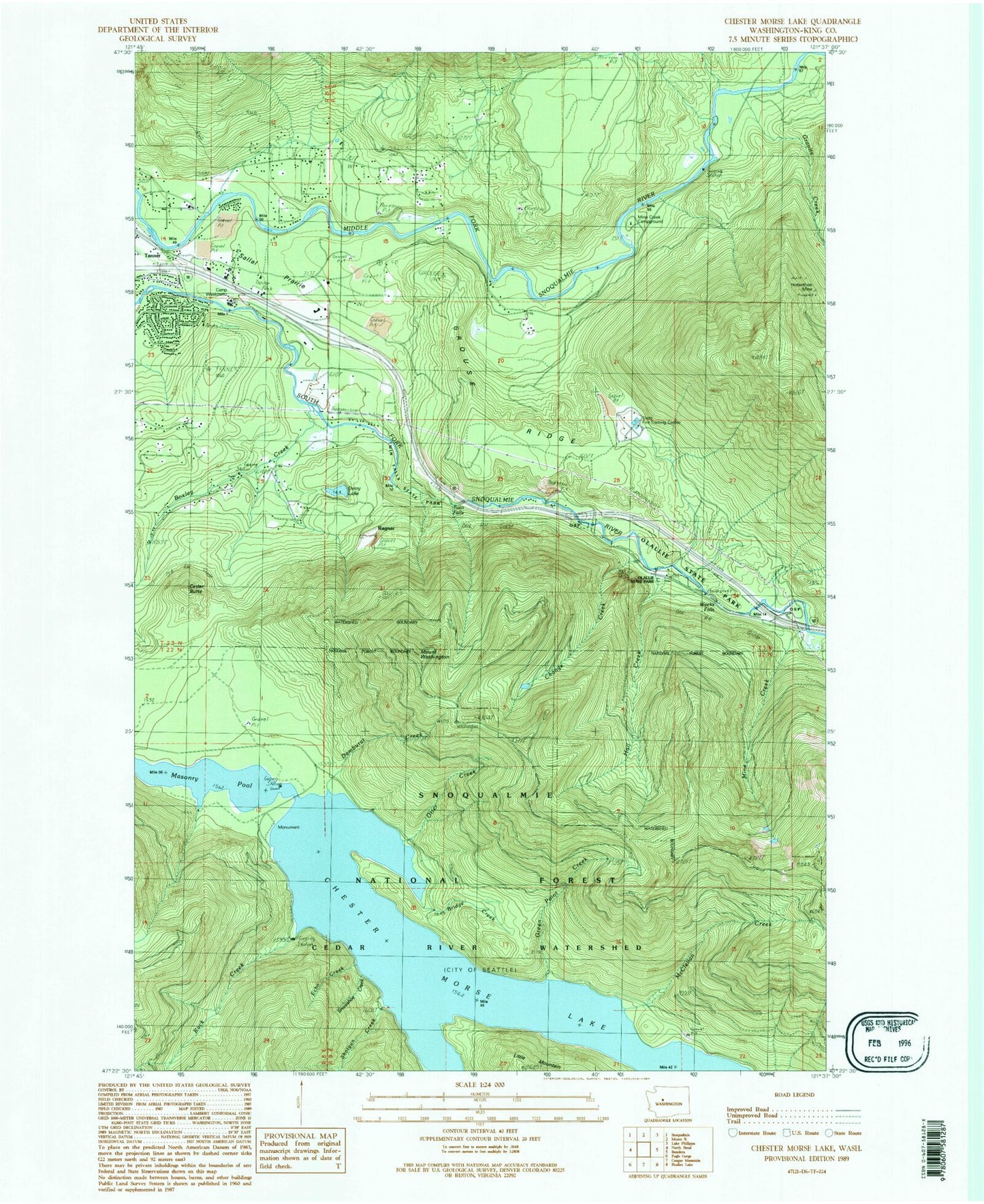
Classic USGS Chester Morse Lake Washington 7.5'x7.5' Topo Map
Couldn't load pickup availability
Historical USGS topographic quad map of Chester Morse Lake in the state of Washington. Typical map scale is 1:24,000, but may vary for certain years, if available. Print size: 24" x 27"
This quadrangle is in the following counties: King.
The map contains contour lines, roads, rivers, towns, and lakes. Printed on high-quality waterproof paper with UV fade-resistant inks, and shipped rolled.
Contains the following named places: Boxley Creek, Bridge Creek, Camp Waskowitz, Cedar Butte, Change Creek, Chester Morse Lake, Chester Morse Monument, Damburat Creek, Derry Lake, Echo Creek, Granite Creek, Green Point Creek, Grouse Ridge, Hall Creek, Horseshoe Mine, McClellan Creek, Mine Creek, Otter Creek, Rack Creek, Ragnar, Rex River, Shotgun Creek, Snowshoe Creek, Tanner, Twin Falls, Twin Falls State Park, Mount Washington, North Bend Airstrip (historical), Edgewick, Sallal Prairie, Crib Dam, Masonry Pool, Riverbend Census Designated Place, Tanner Census Designated Place (historical), Twin Falls Middle School, Washington Fire Training Academy, Riverpoint, Riverpoint Census Designated Place


