MyTopo
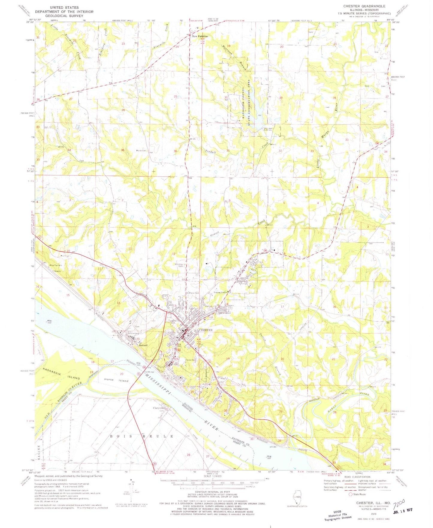
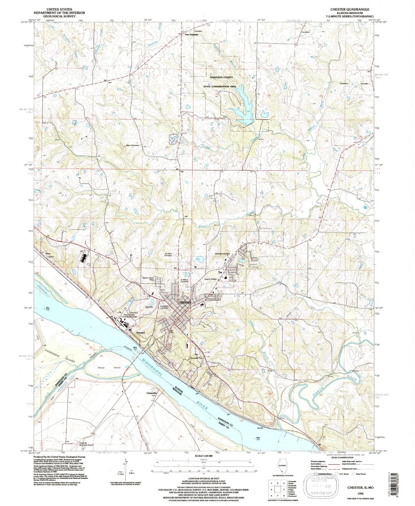
Classic USGS Chester Illinois 7.5'x7.5' Topo Map
Couldn't load pickup availability
Historical USGS topographic quad map of Chester in the states of Illinois, Missouri. Map scale may vary for some years, but is generally around 1:24,000. Print size is approximately 24" x 27"
This quadrangle is in the following counties: Perry, Randolph.
The map contains contour lines, roads, rivers, towns, and lakes. Printed on high-quality waterproof paper with UV fade-resistant inks, and shipped rolled.
Contains the following named places: Birchlers Lake, Birchlers Lake Dam, Bois Brule, Campton, Chester, Chester Bridge, Chester Election Precinct, Chester Elementary School, Chester Fire Department, Chester High School, Chester Hospital, Chester Mental Health Center, Chester Police Department, Chester Post Office, Chester Public Library, Chester Quarry, Church of Our Lady, City of Chester, Claryville, Clore School, Clores, Cole Memorial Park, Diamond Cross, Elm Grove School, Evergreen Cemetery, First Apostolic Pentecostal Church, First Baptist Church, First Presbyterian Church, First United Methodist Church, Ford, Gravel Creek, Horse Island, Little Marys River Covered Bridge, Logan School, Mann Cemetery, Marlin School, Marys River, Marys River Post Light, Med Star Ambulance, Memorial Hospital, Menard, Menard Correctional Center, Menard Correctional Center Heliport, Morrison Branch, New Palestine, Old River, Patten Branch, Randolph County Courthouse, Randolph County Jail, Randolph County Lake, Randolph County Lake Dam, Randolph County Sheriff's Office, Randolph County State Conservation Area, Riverview Lake, Riverview Lake Dam, Saint Anns Home, Saint John Evangelical Lutheran Cemetery, Saint Johns Evangelical Lutheran Church, Saint Johns Evangelical Lutheran School, Saint Marks Episcopal Church, Saint Marys Cemetery, Saint Marys Roman Catholic Church, Saint Marys School, Tindall Creek, Union School, Walnut Ridge School, Wardens Pond, Wardens Pond Dam, Welge Creek, ZIP Code: 62233


