MyTopo
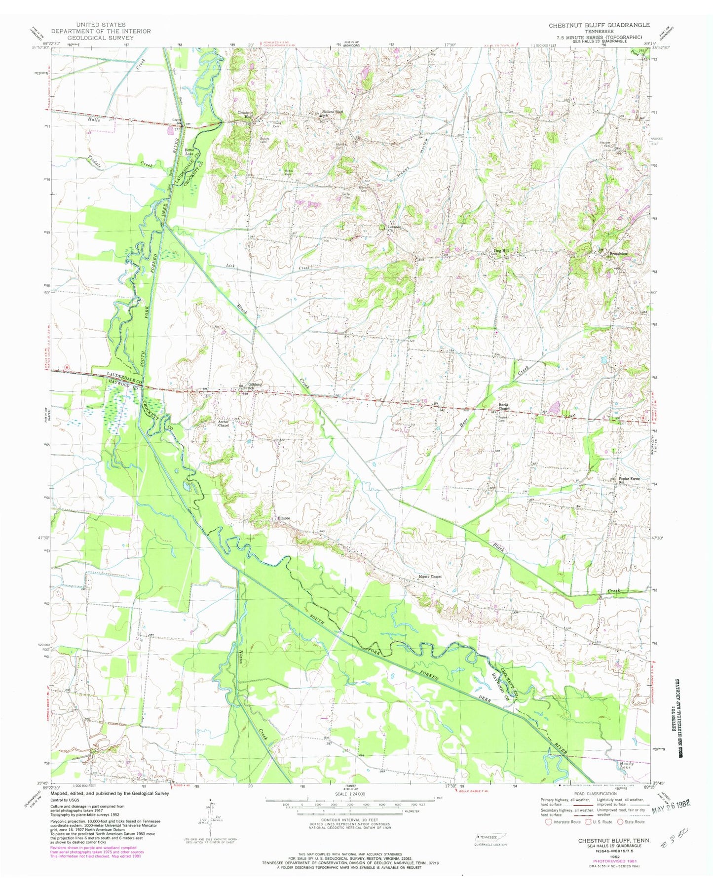
Classic USGS Chestnut Bluff Tennessee 7.5'x7.5' Topo Map
Couldn't load pickup availability
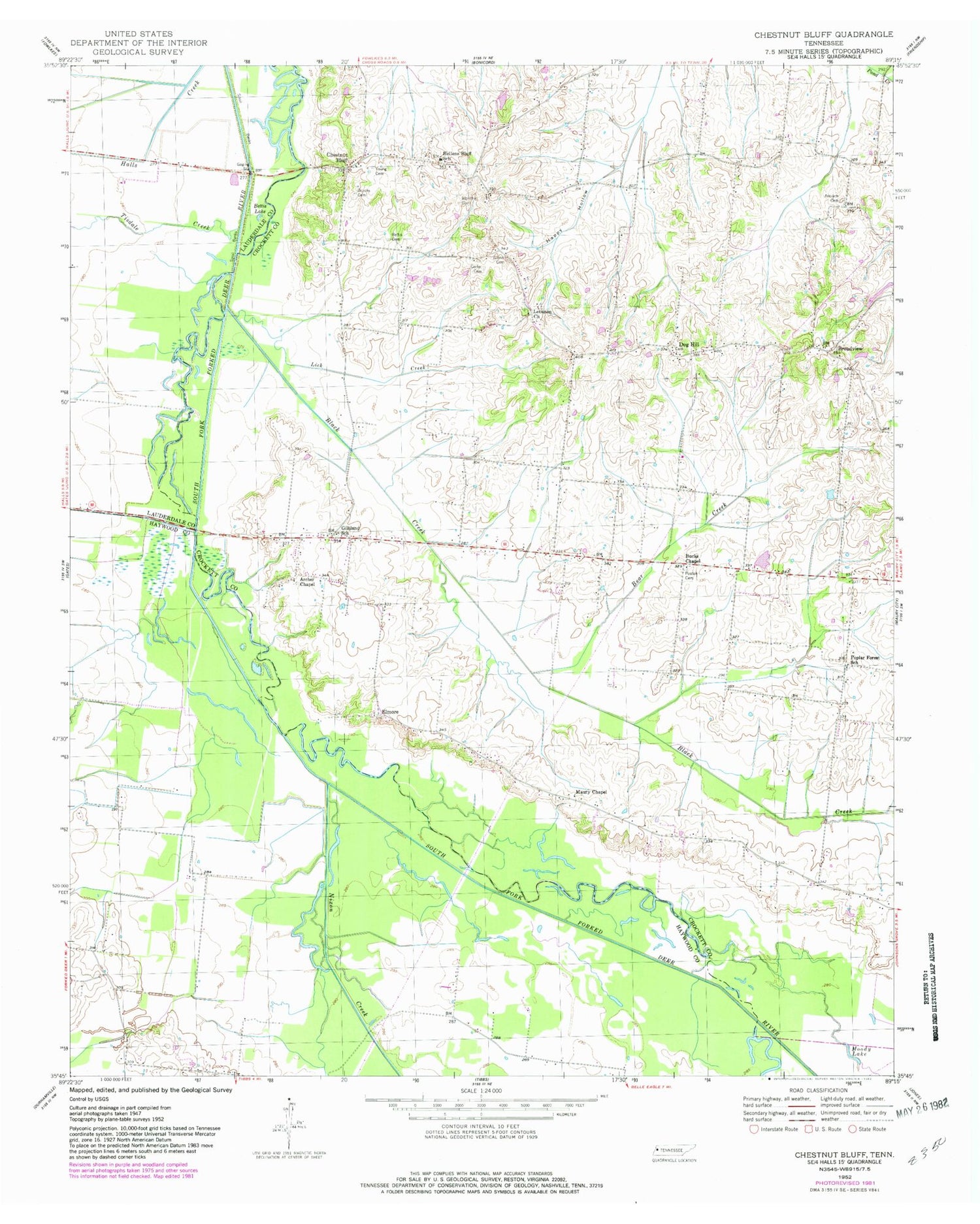
Historical USGS topographic quad map of Chestnut Bluff in the state of Tennessee. Map scale may vary for some years, but is generally around 1:24,000. Print size is approximately 24" x 27"
This quadrangle is in the following counties: Crockett, Haywood, Lauderdale.
The map contains contour lines, roads, rivers, towns, and lakes. Printed on high-quality waterproof paper with UV fade-resistant inks, and shipped rolled.
Contains the following named places: Albritton Cemetery, Almores School, Antioch Cemetery, Antioch Chapel, Archer Chapel, Bear Creek, Bettis Cemetery, Bettis Lake, Black Creek, Broadview, Brooks Cemetery, Bucks Chapel, Carter Cemetery, Chestnut Bluff, Chestnut Bluff Bridge, Commissioner District 2, District 10, District 13, District 14, Dog Hill, Elmore, Frog Jump, Frog Jump Volunteer Fire Department, Gilliland School, Glenn Cemetery, Happy Hollow, Hellens Bluff School, Island Number Eight, Island Number Seven, Island Number Six, Lebanon Church, Lick Creek, Little Pond Creek, Lost Creek, Maury Chapel, Maury City Division, Moody Lake, Nixon Creek, Number Nine Island, Perry School, Pond Creek, Poplar Forest Church, Poplar Forest School, Poston Cemetery, South Fork Church, Tisdale Creek, Wilson Mill, Young Cemetery


