MyTopo
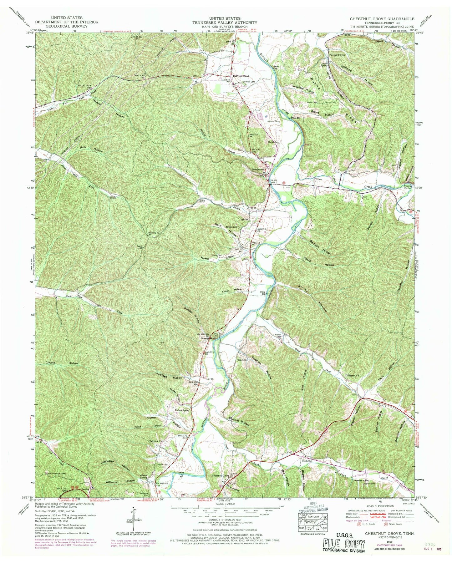
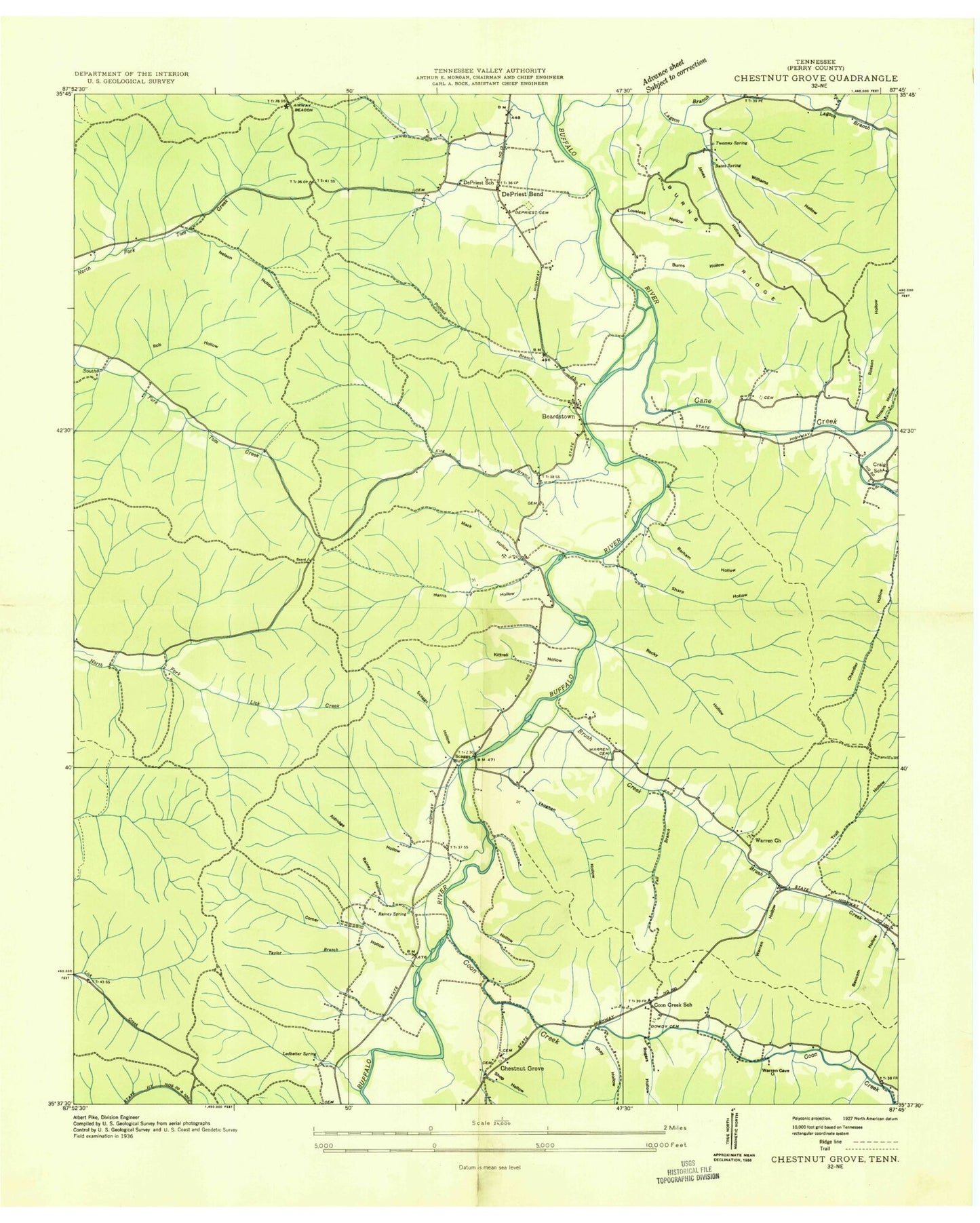
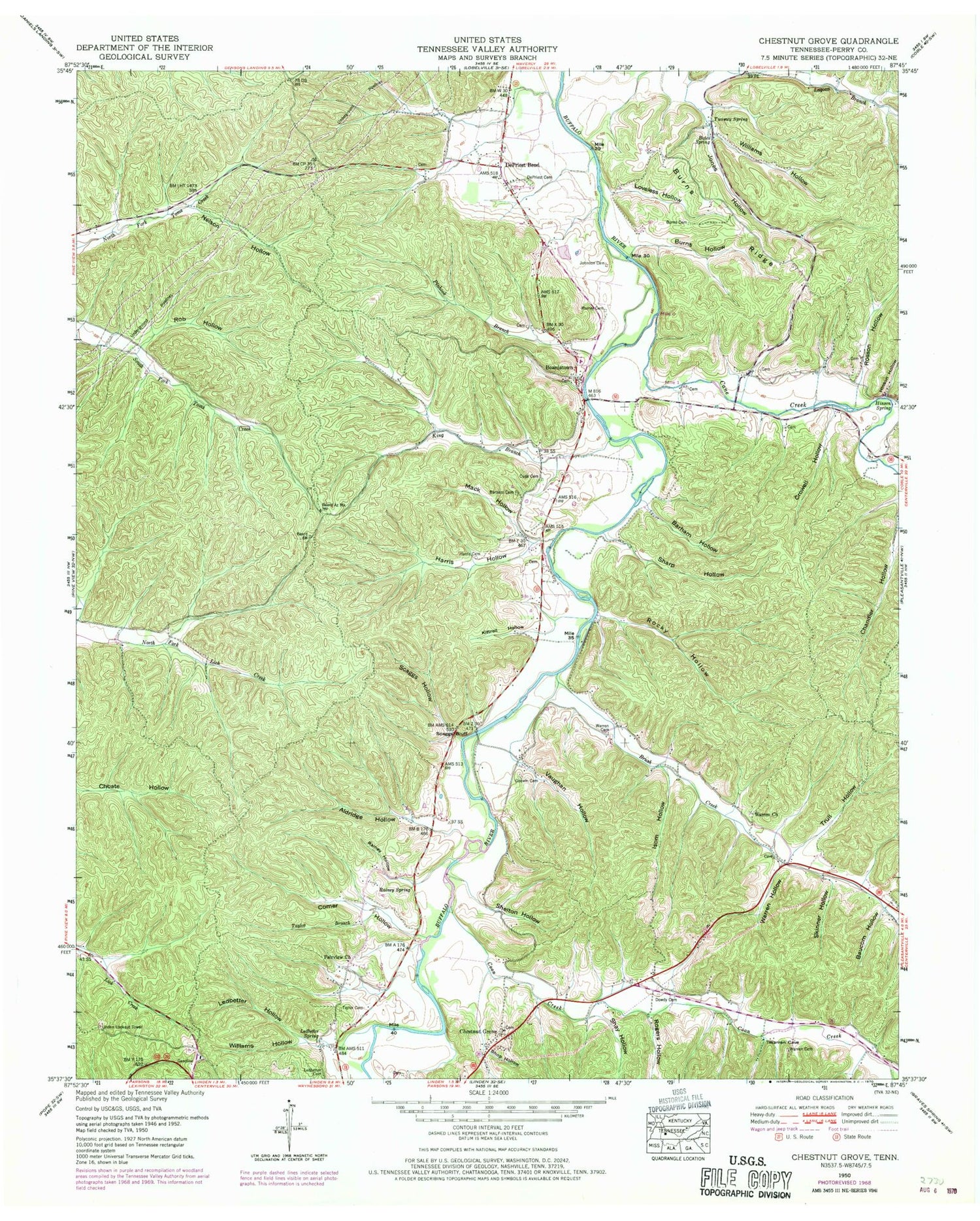
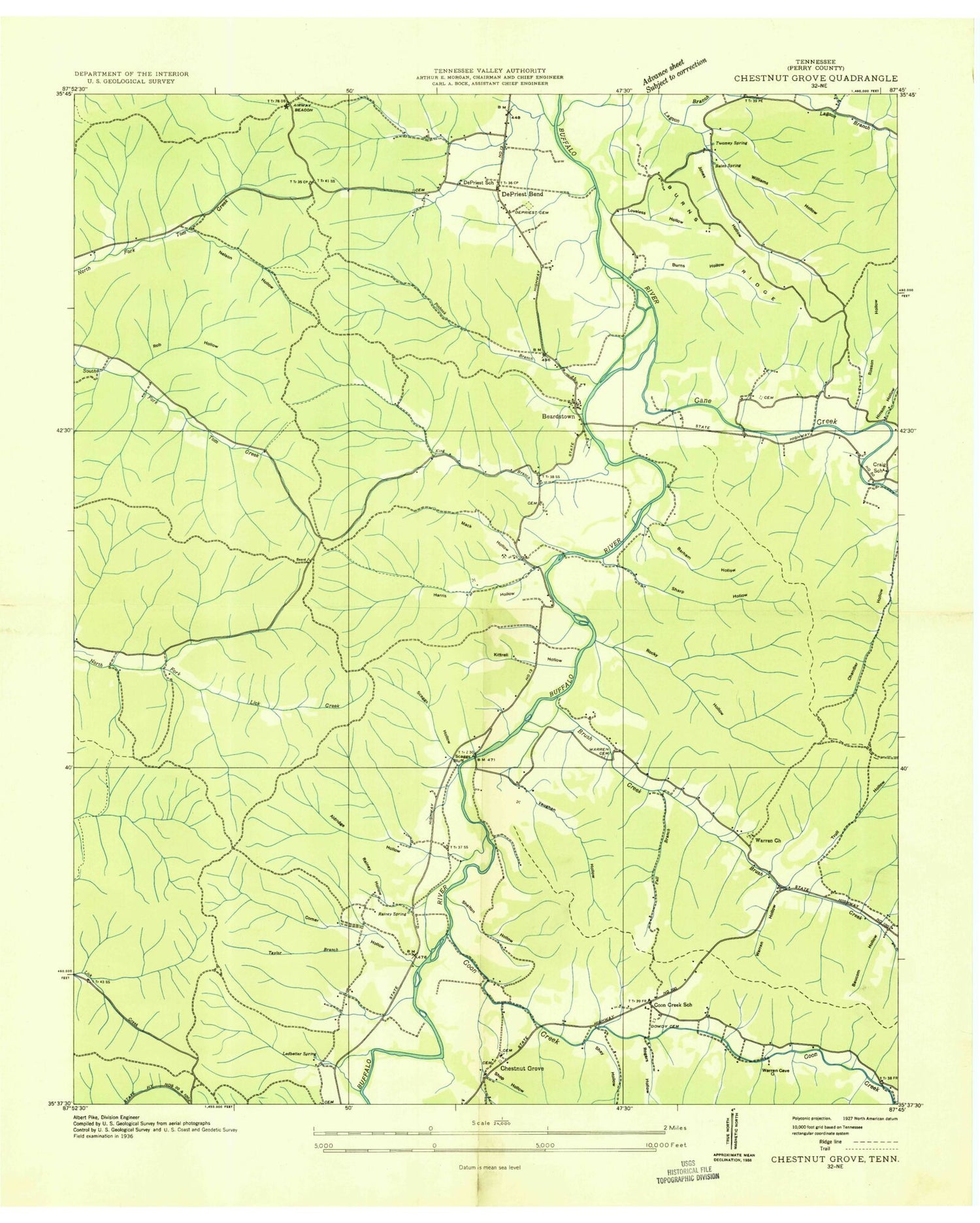
Classic USGS Chestnut Grove Tennessee 7.5'x7.5' Topo Map
Couldn't load pickup availability
Historical USGS topographic quad map of Chestnut Grove in the state of Tennessee. Map scale may vary for some years, but is generally around 1:24,000. Print size is approximately 24" x 27"
This quadrangle is in the following counties: Perry.
The map contains contour lines, roads, rivers, towns, and lakes. Printed on high-quality waterproof paper with UV fade-resistant inks, and shipped rolled.
Contains the following named places: Aldridge Hollow, Apple Orchard Hollow, Barham Cemetery, Barham Hollow, Bates Spring, Baucom Hollow, Beardstown, Beardstown School, Brush Creek, Brush Creek Church of Christ, Burns Cemetery, Burns Hollow, Burns Ridge, Cane Creek, Chestnut Grove, Chestnut Grove Church, Comer Hollow, Commissioner District 4, Commissioner District 6, Coon Creek, Coon Creek School, Craig School, Crowell Hollow, Cude Cemetery, DePriest Bend, DePriest Cemetery, DePriest School, Dowdy Cemetery, Fairview Church, Fall Branch, Godwin Cemetery, Harris Cemetery, Harris Hollow, Hinson Hollow, Hinson Spring, Isom Hollow, Johnson Cemetery, Jones Hollow, King Branch, Kittrell Hollow, Ledbetter Cemetery, Ledbetter Hollow, Ledbetter Spring, Linden Lookout Tower, Loveless Hollow, Lower Sinking Creek, Mack Hollow, Murray Cemetery, Nelson Hollow, Perry County, Pinhook Branch, Rainey Hollow, Rainey Spring, Rob Hollow, Rocky Hollow, Rogers Hollow, Rosson Hollow, Scaggs Bluff, Scaggs Hollow, Sharp Hollow, Shay Hollow, Shelton Hollow, Shop Hollow, Skinner Hollow, Taylor Branch, Taylor Cemetery, Toad Hollow, Trull Hollow, Twomey Spring, Vaughan Hollow, Warren Cemetery, Warren Church, Warren Hollow, Williams Hollow


