MyTopo
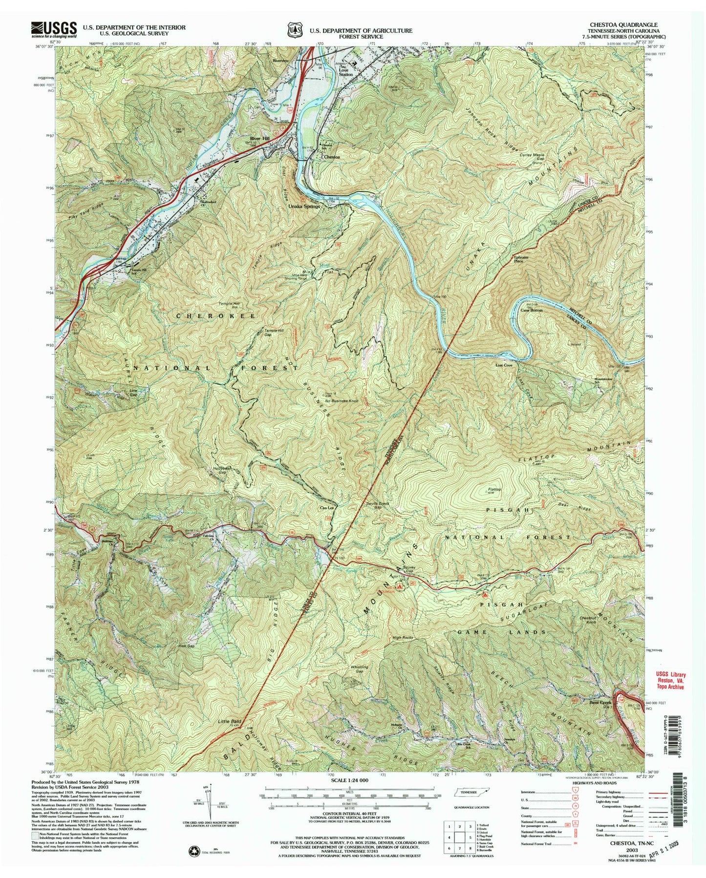
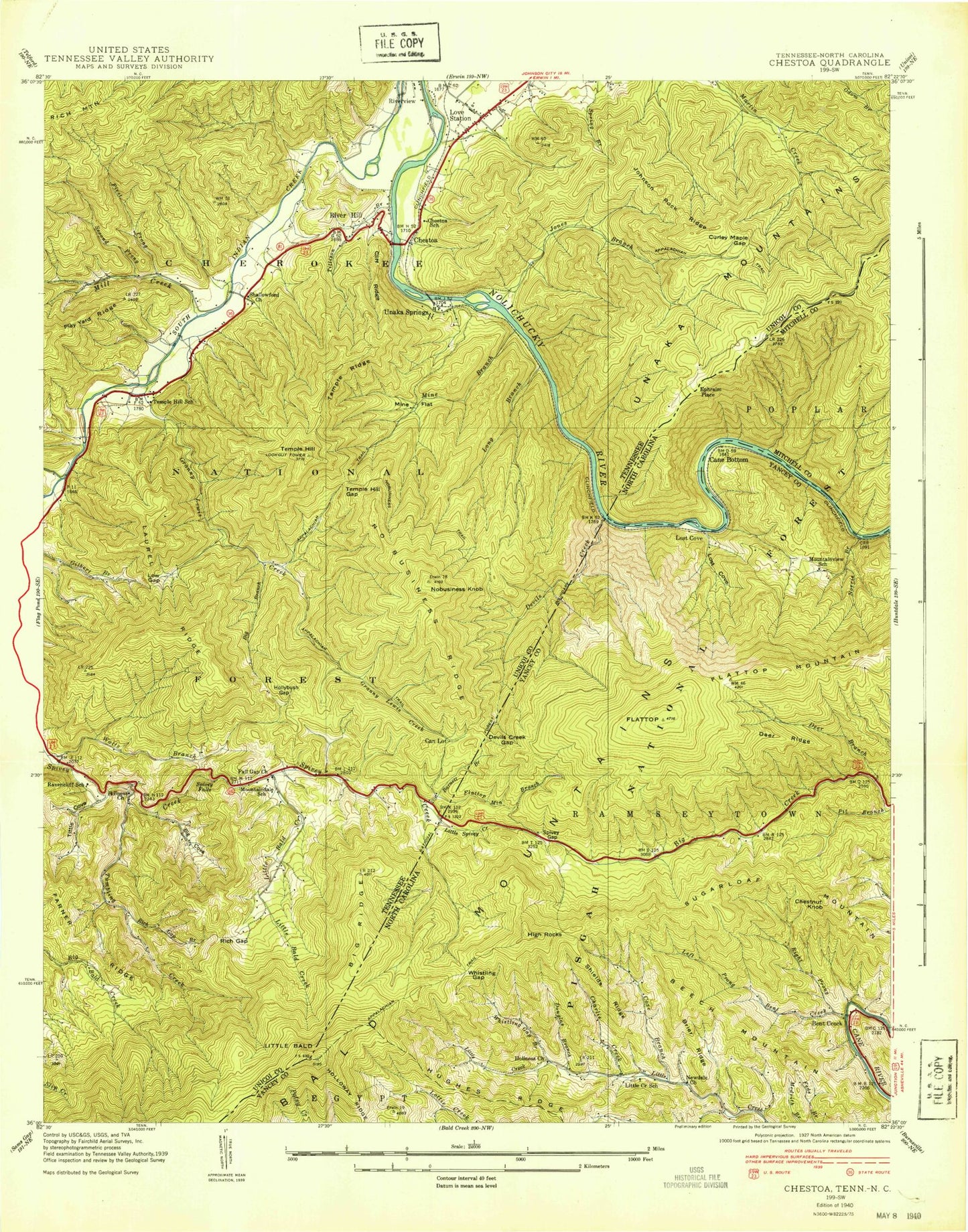
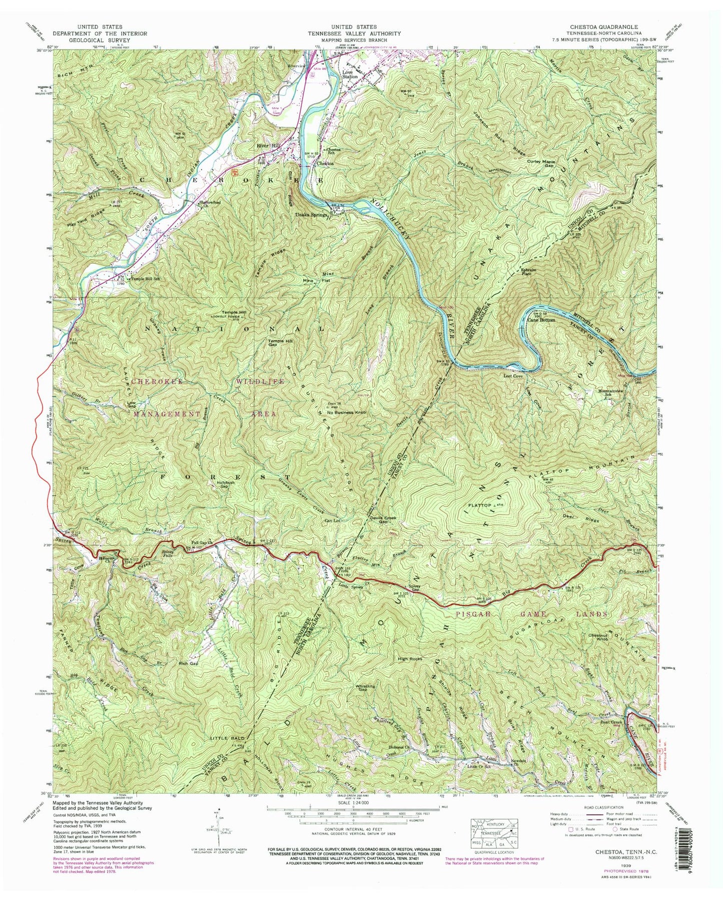
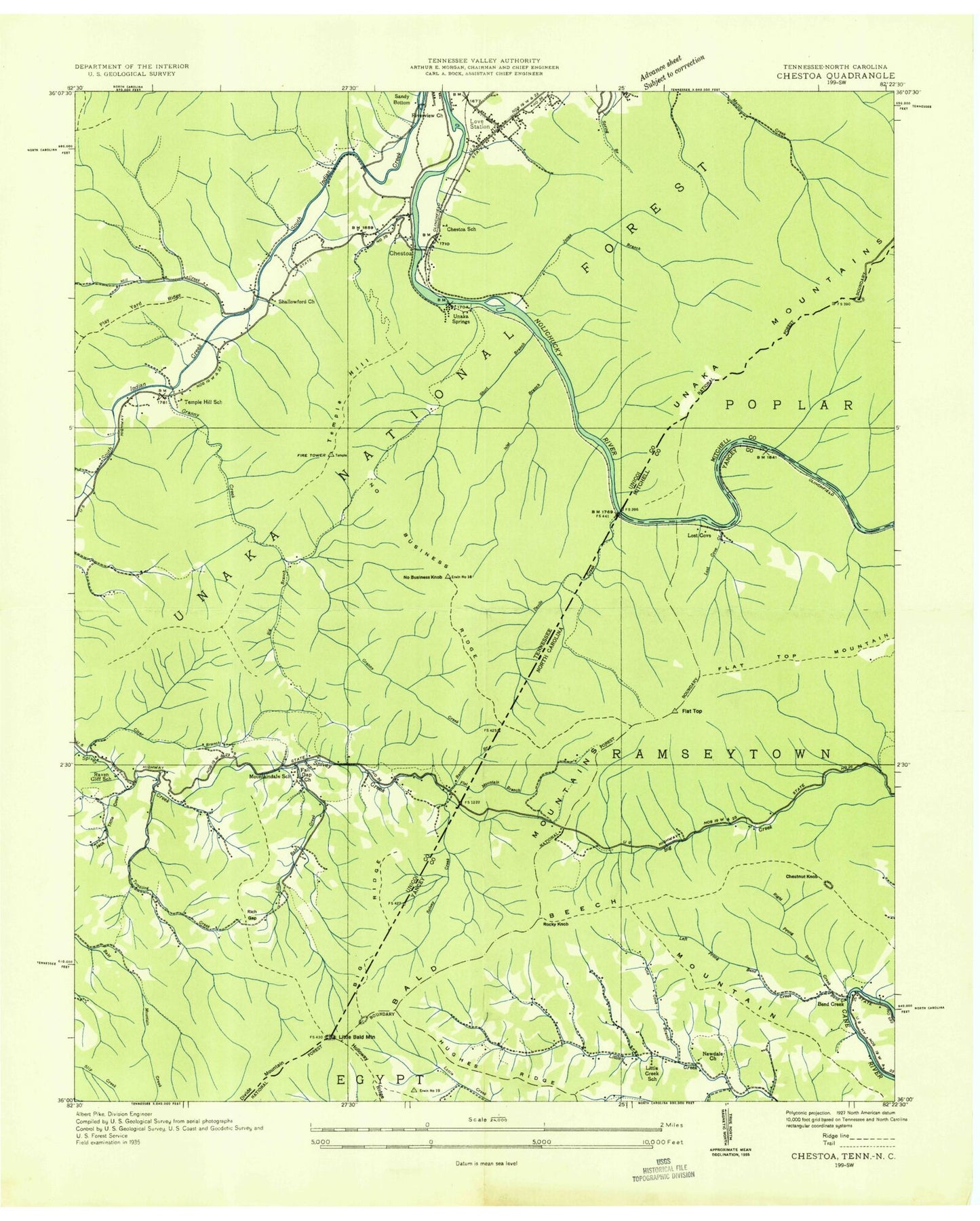
Classic USGS Chestoa Tennessee 7.5'x7.5' Topo Map
Couldn't load pickup availability
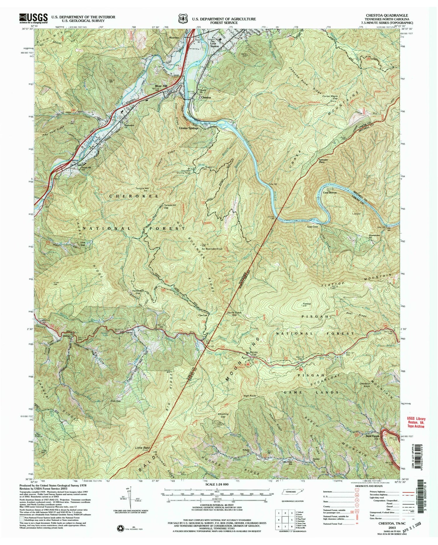
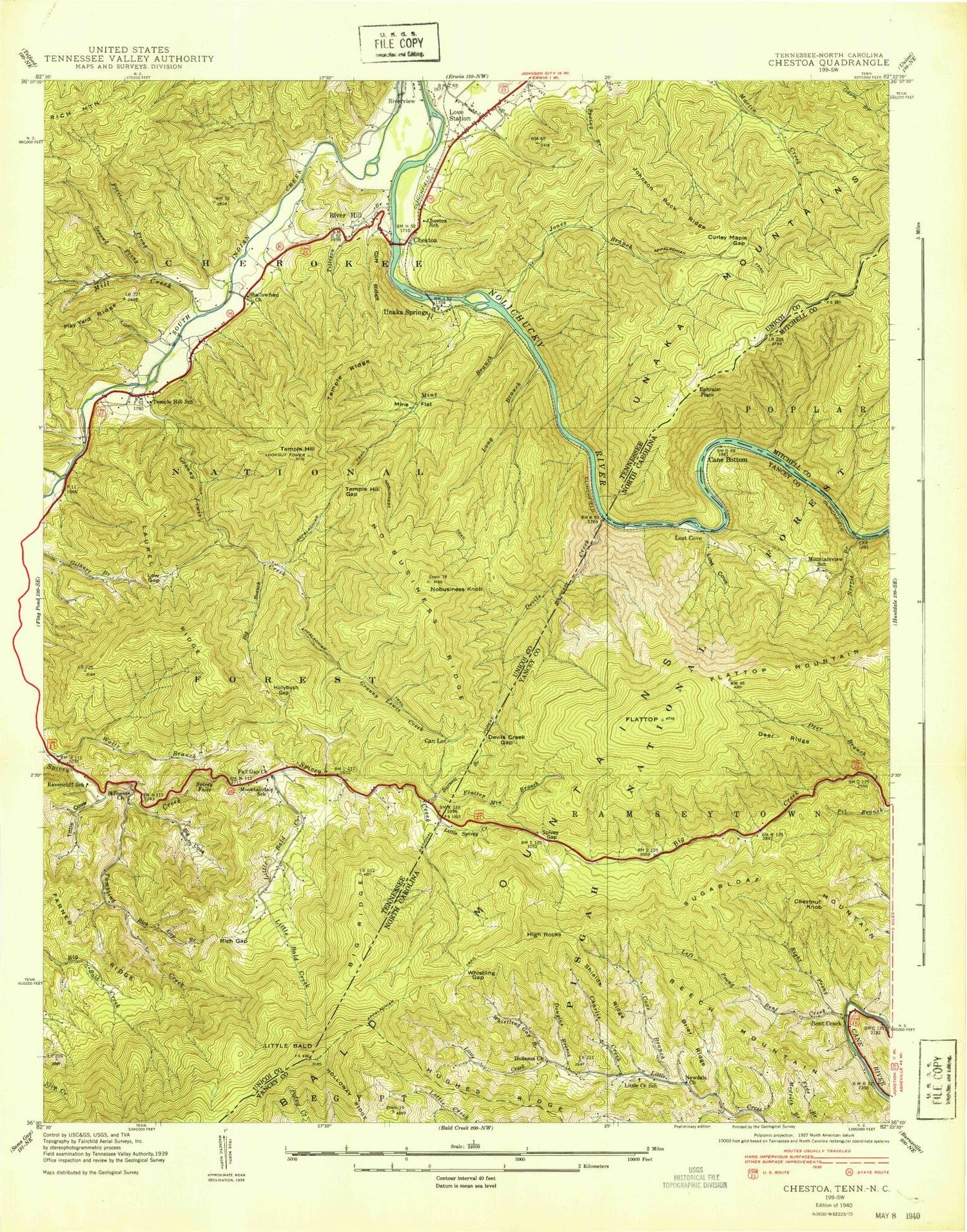
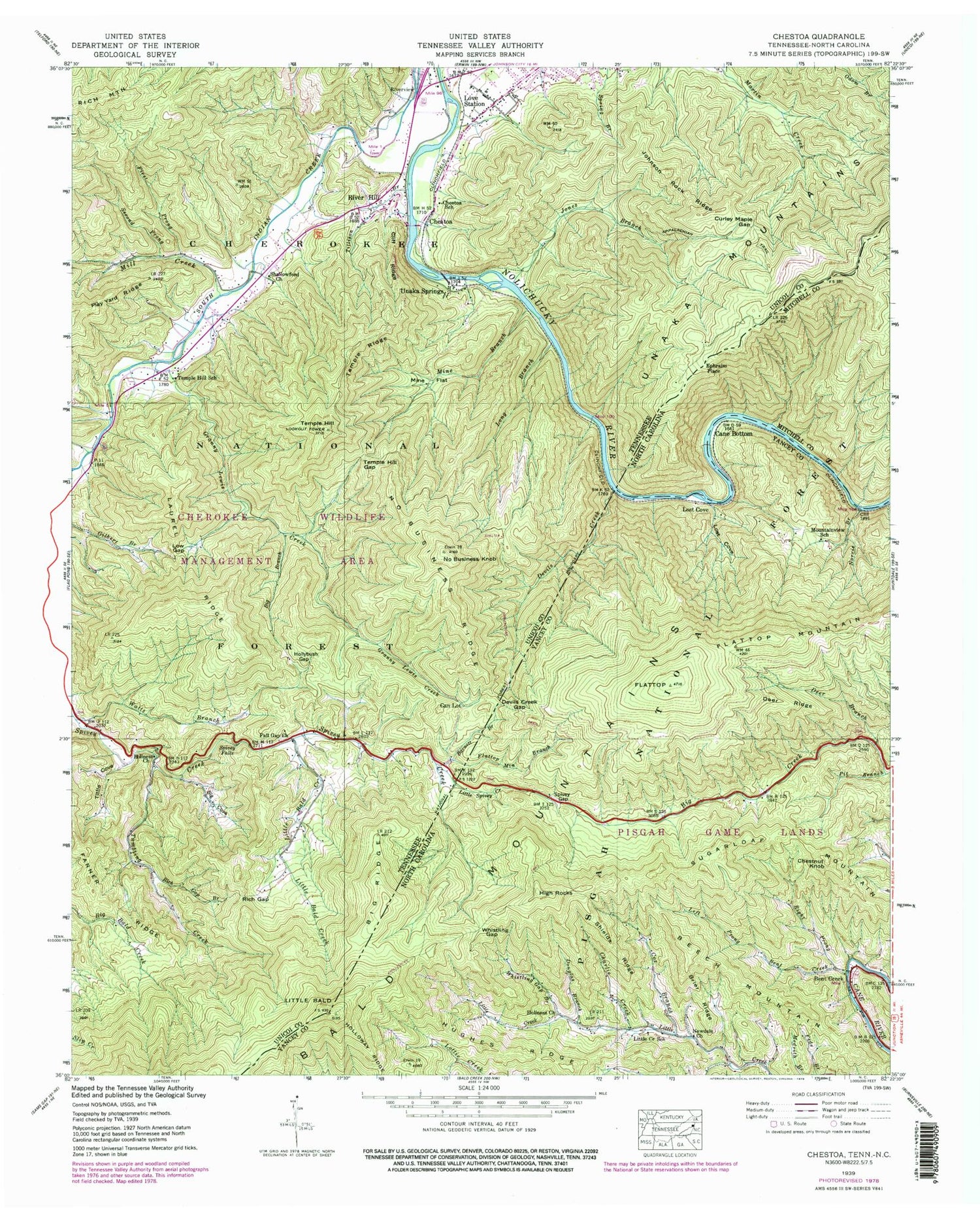
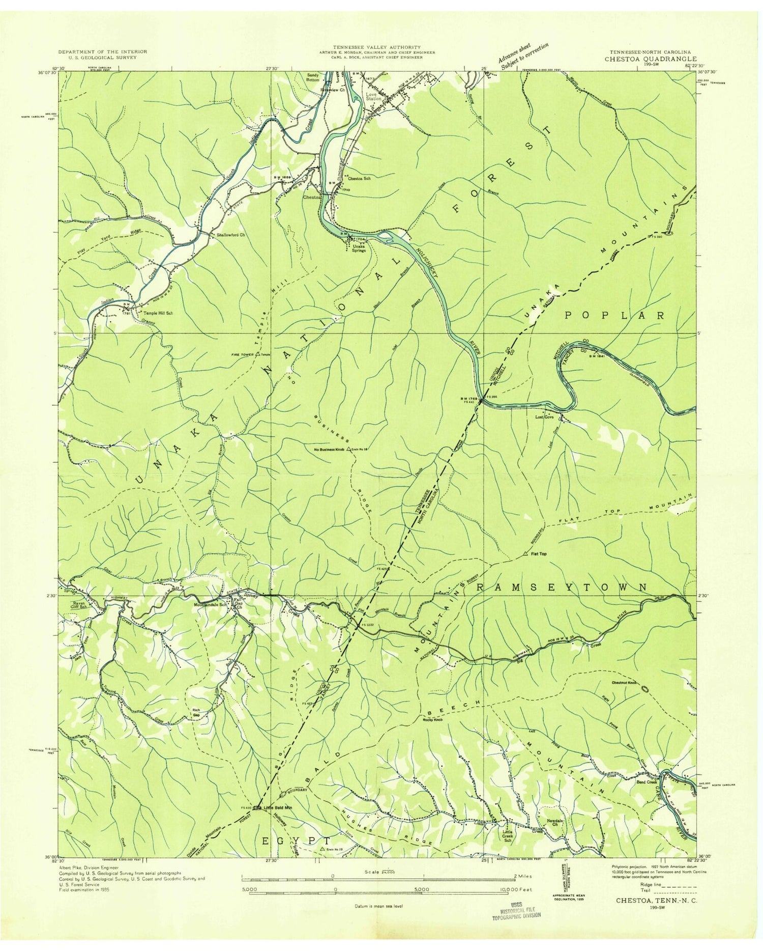
Historical USGS topographic quad map of Chestoa in the states of Tennessee, North Carolina. Typical map scale is 1:24,000, but may vary for certain years, if available. Print size: 24" x 27"
This quadrangle is in the following counties: Mitchell, Unicoi, Yancey.
The map contains contour lines, roads, rivers, towns, and lakes. Printed on high-quality waterproof paper with UV fade-resistant inks, and shipped rolled.
Contains the following named places: Big Ridge, Spivey Falls, Temple Hill, Temple Hill Gap, Temple Ridge, Tillison Branch, Tittle Cove, Tumbling Creek, Unaka Springs, Watts Branch, Big Branch, Big Cove, Can Lot, Chestoa School, Cliff Ridge, Curley Maple Gap, Fall Gap Church, First Prong, Granny Lewis Creek, Holiness Church, Hollybush Gap, Johnson Rock Ridge, Jones Branch, Laurel Ridge, Little Bald Creek, Long Branch, Love Station, Low Gap, Mine Branch, Mine Flat, Mountaindale School, No Business Knob, No Business Ridge, No Business Trail, Ravencliff School, Rich Gap, Rich Gap Branch, River Hill, Shallowford Church, Brownlow (historical), Indian Creek (historical), Kittyton (historical), Love Chapel Elementary School (historical), Chestoa, Farner Ridge, Higgins Creek, Mill Creek, Riverview, Second Prong, WEMB-AM (Erwin), WXIS-FM (Erwin), No Business Shelter, Curley Maple Gap Shelter, Chestoa Boating Site, Mine Flats Shooting Range, Unaka Springs, Unaka Springs Prospect, Ivy Hollow, River Hill Hollow, Shallowford, Temple Hill, Bald Mountain Trail, Granny Lewis Trail, Nolichucky River Trail, Temple Hill Elementary School, Unicoi County, Fordville (historical), Banner Hill Census Designated Place, Barnett Branch, Bent Creek, Brier Ridge, Cane Bottom, Charlie Creek, Cox Branch, Deer Branch, Deer Ridge, Devils Creek, Devils Creek Gap, Douglas Branch, Flattop, Flattop Mountain, Flattop Mountain Branch, Holiness Church, Holloway Ridge, Hughes Ridge, Left Prong Bent Creek, Little Bald, Little Creek School, Little Spivey Creek, Lost Cove, Mountainview School, Newdale Church, Norris Branch, Pit Branch, Right Prong Bent Creek, Shields Ridge, Spivey Gap, Whistling Gap, Whistling Gap Branch, Bear Gap, Honeysuckle Flat, Bald Mountain Campground, Beech Mountain, Bent Creek, Chestnut Knob, Ephraim Place, High Rocks, Lost Cove, Sugarloaf Mountain, Spivey Gap Picnic Area, Township of Ramseytown, Big Ridge, Spivey Falls, Temple Hill, Temple Hill Gap, Temple Ridge, Tillison Branch, Tittle Cove, Tumbling Creek, Unaka Springs, Watts Branch, Big Branch, Big Cove, Can Lot, Chestoa School, Cliff Ridge, Curley Maple Gap, Fall Gap Church, First Prong, Granny Lewis Creek, Holiness Church, Hollybush Gap, Johnson Rock Ridge, Jones Branch, Laurel Ridge, Little Bald Creek, Long Branch, Love Station, Low Gap, Mine Branch, Mine Flat, Mountaindale School, No Business Knob, No Business Ridge, No Business Trail, Ravencliff School, Rich Gap, Rich Gap Branch, River Hill, Shallowford Church, Brownlow (historical), Indian Creek (historical), Kittyton (historical), Love Chapel Elementary School (historical), Chestoa, Farner Ridge, Higgins Creek, Mill Creek, Riverview, Second Prong, WEMB-AM (Erwin), WXIS-FM (Erwin), No Business Shelter, Curley Maple Gap Shelter, Chestoa Boating Site, Mine Flats Shooting Range, Unaka Springs, Unaka Springs Prospect, Ivy Hollow, River Hill Hollow, Shallowford, Temple Hill, Bald Mountain Trail, Granny Lewis Trail, Nolichucky River Trail, Temple Hill Elementary School, Unicoi County, Fordville (historical), Banner Hill Census Designated Place, Barnett Branch, Bent Creek, Brier Ridge, Cane Bottom, Charlie Creek, Cox Branch, Deer Branch, Deer Ridge, Devils Creek, Devils Creek Gap, Douglas Branch, Flattop, Flattop Mountain, Flattop Mountain Branch, Holiness Church, Holloway Ridge, Hughes Ridge, Left Prong Bent Creek, Little Bald, Little Creek School, Little Spivey Creek, Lost Cove, Mountainview School, Newdale Church, Norris Branch, Pit Branch, Right Prong Bent Creek, Shields Ridge, Spivey Gap, Whistling Gap, Whistling Gap Branch, Bear Gap, Honeysuckle Flat, Bald Mountain Campground, Beech Mountain, Bent Creek, Chestnut Knob, Ephraim Place, High Rocks, Lost Cove, Sugarloaf Mountain, Spivey Gap Picnic Area, Township of Ramseytown, Big Ridge, Spivey Falls, Temple Hill, Temple Hill Gap, Temple Ridge, Tillison Branch, Tittle Cove, Tumbling Creek, Unaka Springs, Watts Branch, Big Branch, Big Cove, Can Lot, Chestoa School
