MyTopo
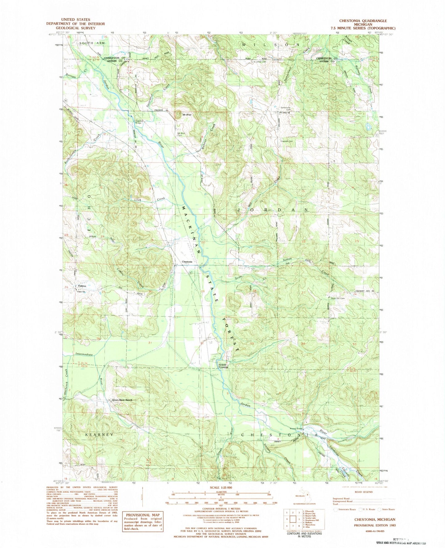
Classic USGS Chestonia Michigan 7.5'x7.5' Topo Map
Couldn't load pickup availability
Historical USGS topographic quad map of Chestonia in the state of Michigan. Typical map scale is 1:24,000, but may vary for certain years, if available. Print size: 24" x 27"
This quadrangle is in the following counties: Antrim, Charlevoix.
The map contains contour lines, roads, rivers, towns, and lakes. Printed on high-quality waterproof paper with UV fade-resistant inks, and shipped rolled.
Contains the following named places: Bartholomew Creek, Bennett Creek, Cascade Creek, Grace Church, Gook Creek, Green River, Green River Ranch, Hitchcock Creek, Kocher Creek, Landslide Creek, Lilak Creek, Martin Creek, Mill Creek, Mount Bliss, Mount Bliss Cemetery, Rock Elm Cemetery, Saint Johns Nepomucene Pioneer Cemetery, Saint Johns Church, Scott Creek, Settlement Cemetery, Severance Creek, Stevens Creek, Sutton Creek, Todd Creek, Trojanek Cemetery, Tutstone Creek, Webster Creek, Chestonia, Chestonia Bridge, Pinney Bridge, Webster Bridge, Township of Jordan, Graves Crossing, Finkton, Hitchcock Station (historical), Chestonia Station (historical), Rockery Post Office (historical), Finkton Post Office (historical), Chestonia Post Office (historical), Pinney Bridge State Forest Campground, Graves Crossing State Forest Campground, Saint John Nepomucene Catholic Church Historical Marker, Chestonia Township Number One Cemetery (historical)


