MyTopo
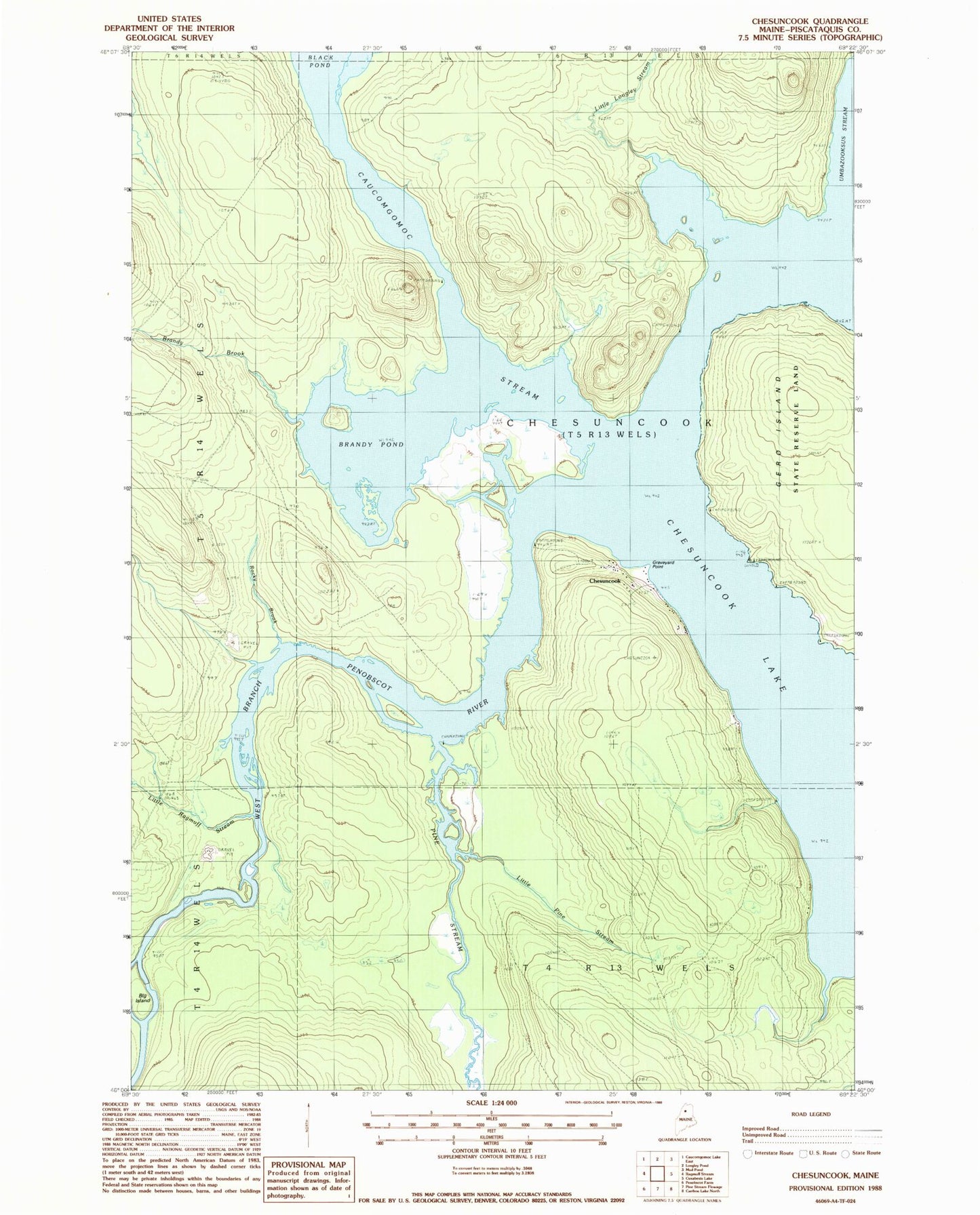
Classic USGS Chesuncook Maine 7.5'x7.5' Topo Map
Couldn't load pickup availability
Historical USGS topographic quad map of Chesuncook in the state of Maine. Map scale may vary for some years, but is generally around 1:24,000. Print size is approximately 24" x 27"
This quadrangle is in the following counties: Piscataquis.
The map contains contour lines, roads, rivers, towns, and lakes. Printed on high-quality waterproof paper with UV fade-resistant inks, and shipped rolled.
Contains the following named places: Big Island, Brandy Brook, Brandy Pond, Caucomgomoc Stream, Chesuncook, Chesuncook Township, Chesuncook Village Cemetery, Gero Island, Graveyard Point, Little Longley Stream, Little Pine Stream, Little Ragmuff Stream, Pine Stream, Rocky Brook, Umbazooksus Stream, Unorganized Territory of Northwest Piscataquis