MyTopo
Classic USGS Chevelon Crossing Arizona 7.5'x7.5' Topo Map
Couldn't load pickup availability
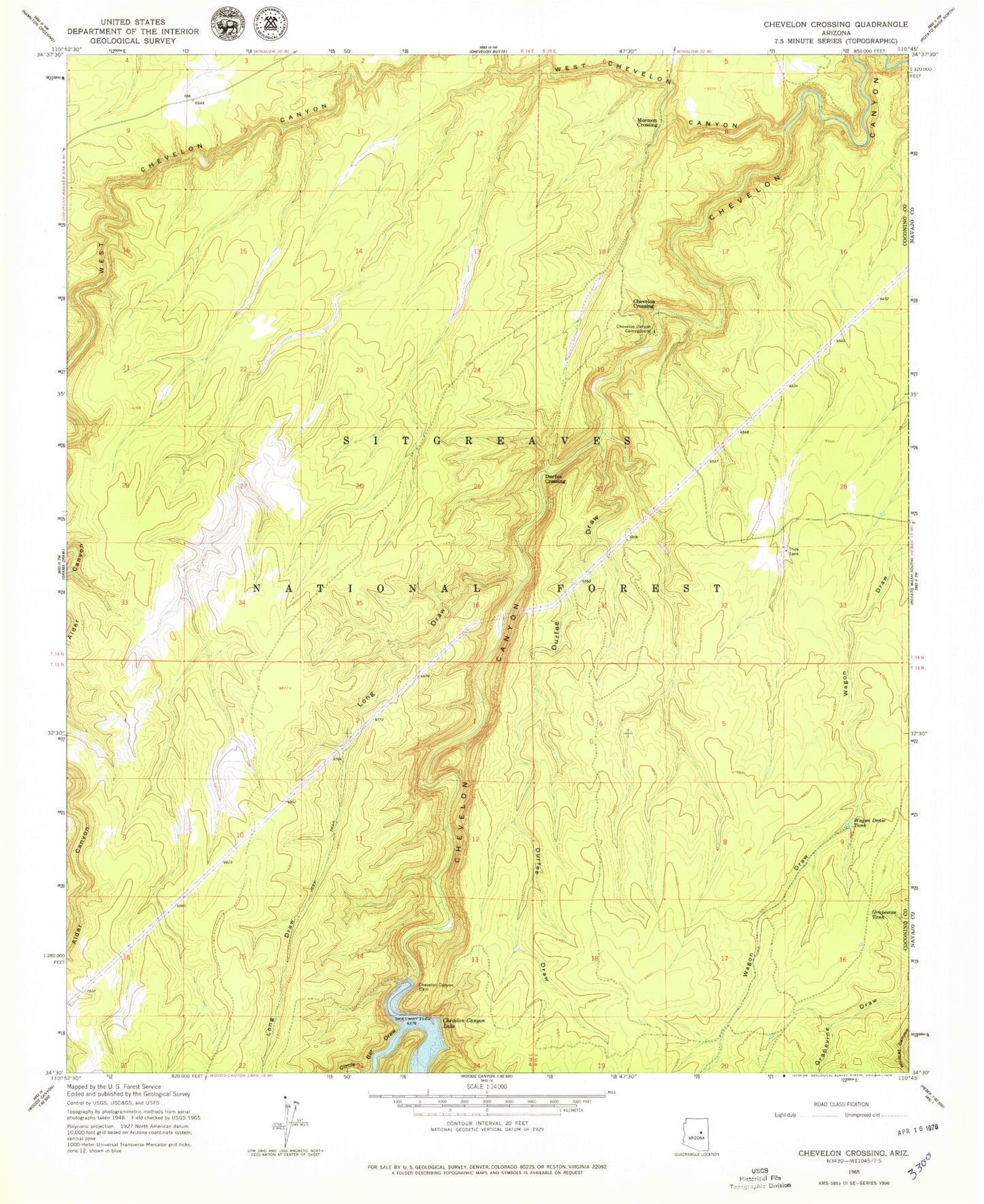
Historical USGS topographic quad map of Chevelon Crossing in the state of Arizona. Typical map scale is 1:24,000, but may vary for certain years, if available. Print size: 24" x 27"
This quadrangle is in the following counties: Coconino, Navajo.
The map contains contour lines, roads, rivers, towns, and lakes. Printed on high-quality waterproof paper with UV fade-resistant inks, and shipped rolled.
Contains the following named places: Chevelon Canyon Campground, Chevelon Canyon Dam, Chevelon Crossing, Circle Bar Draw, Durfee Crossing, Durfee Draw, Grapevine Tank, Long Draw, Mormon Crossing, Wagon Draw Tank, West Chevelon Canyon, West Chevelon Creek, Chevelon Lake Campground, Durfee Corral, Durfee Tank, Pit Tank, Pueblo Trick Tank, Section Sixteen Tank, Turkey Water Tank, Standard Tank, Elk Rub Canyon, Pueblo Draw, Turkey Trick Tank, Durfee Trick Tank, Chevelon Lake Trailhead