MyTopo
Classic USGS Chews Ridge California 7.5'x7.5' Topo Map
Couldn't load pickup availability
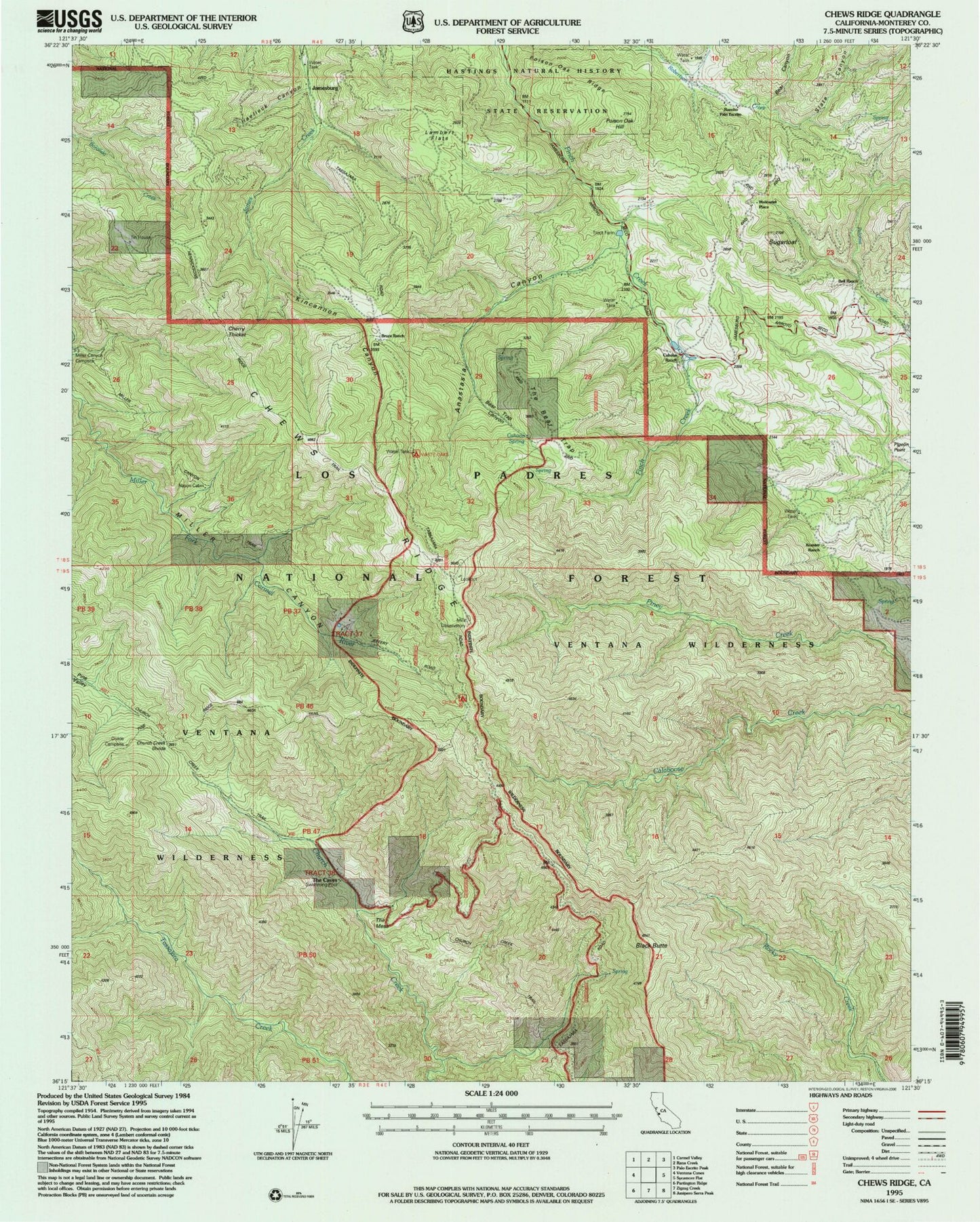
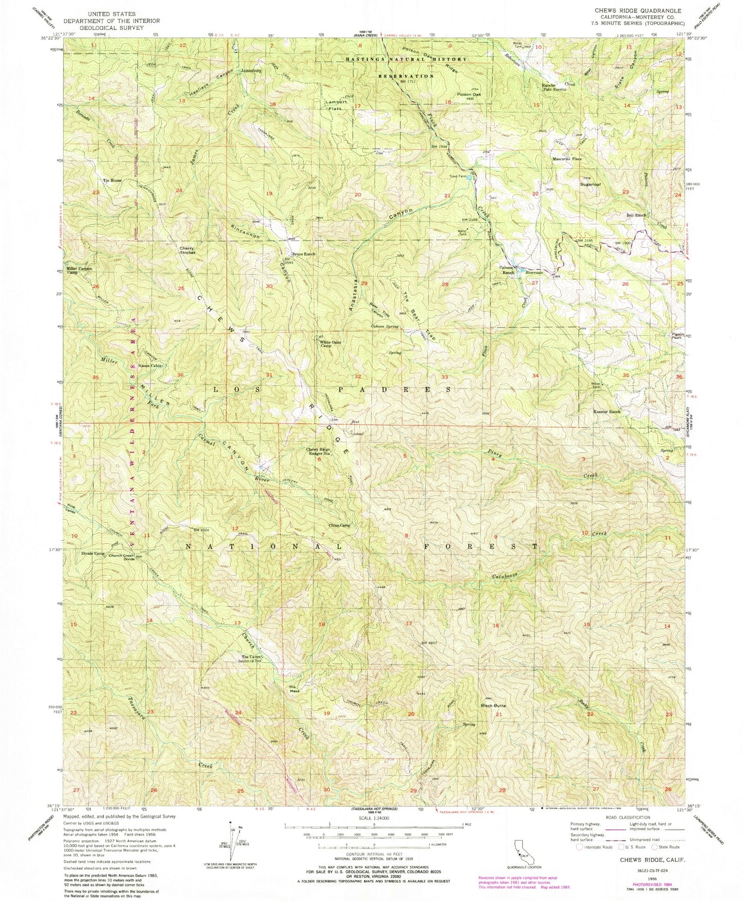
Historical USGS topographic quad map of Chews Ridge in the state of California. Typical map scale is 1:24,000, but may vary for certain years, if available. Print size: 24" x 27"
This quadrangle is in the following counties: Monterey.
The map contains contour lines, roads, rivers, towns, and lakes. Printed on high-quality waterproof paper with UV fade-resistant inks, and shipped rolled.
Contains the following named places: Anastasia Canyon, Bear Canyon, Bear Trap Canyon, Bell Ranch, Black Butte, Bruce Ranch, Cahoon Ranch, Cahoon Spring, Cherry Thicket, Chews Ridge, Chews Ridge Ranger Station, China Camp, Church Creek Divide, Church Creek Trail, Divide Camp, Haelleck Canyon, Hastings Natural History State Reservation, Kincannon Canyon, Koester Ranch, Lambert Flats, Miller Canyon Trail, Nason Cabin, Pigeon Point, Poison Oak Hill, Poison Ridge, Rancho Palo Escrito, Slate Canyon, Sugarloaf, The Bear Trap, The Caves, Tin House, White Oaks Camp, Rocky Creek Campground, Jamesburg, Mascorini Place, The Mesa, Jamesburg School (historical)


