MyTopo
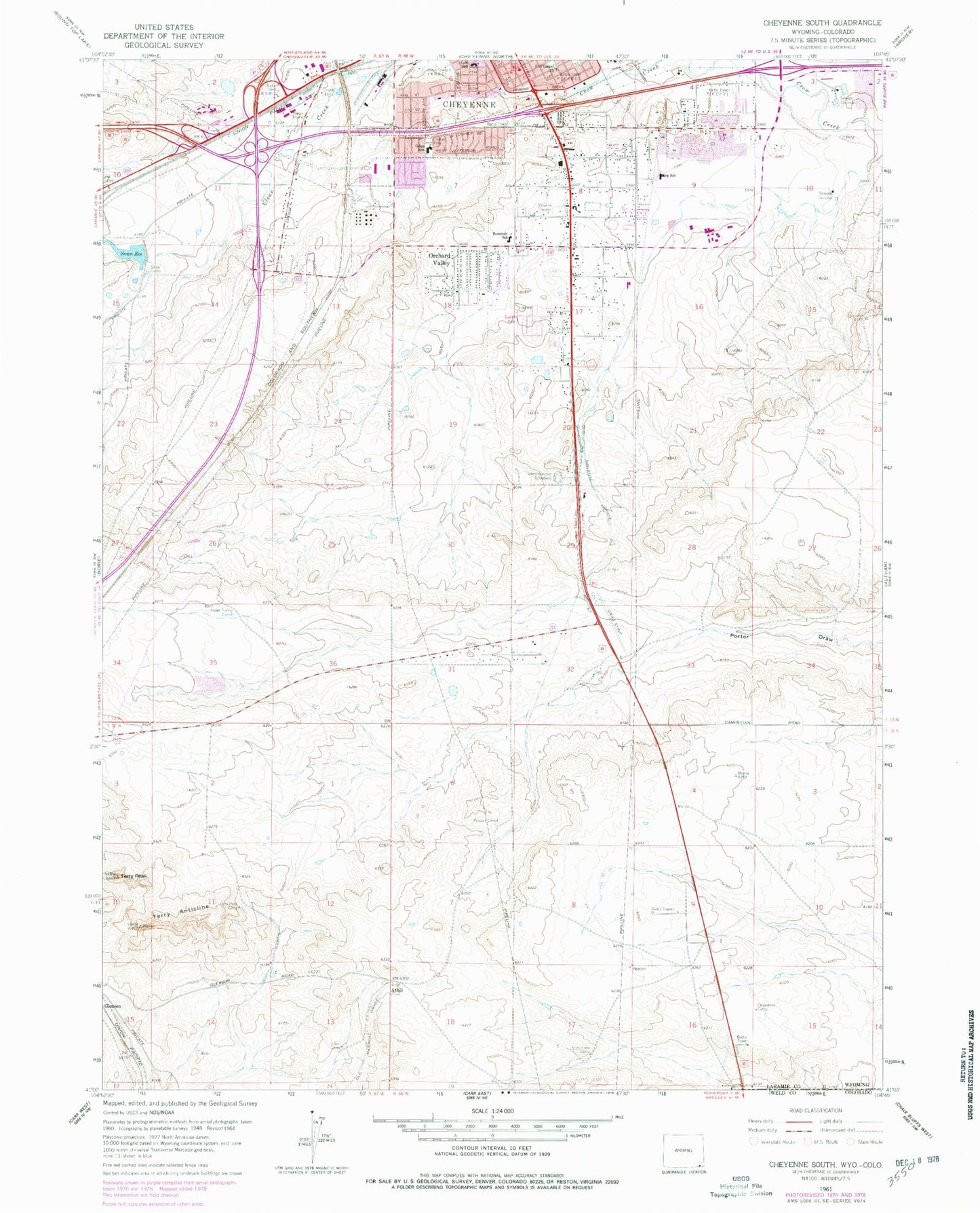
Classic USGS Cheyenne South Wyoming 7.5'x7.5' Topo Map
Couldn't load pickup availability
Historical USGS topographic quad map of Cheyenne South in the state of Wyoming. Map scale may vary for some years, but is generally around 1:24,000. Print size is approximately 24" x 27"
This quadrangle is in the following counties: Laramie.
The map contains contour lines, roads, rivers, towns, and lakes. Printed on high-quality waterproof paper with UV fade-resistant inks, and shipped rolled.
Contains the following named places: Afflerbach Elementary School, Arp Elementary School, Athol, Athol Camp, Chambers Camp, Cheyenne Fire and Rescue Station 2, Civitan Park, Clear Creek Park, Cole Elementary School, Fox Farm-College Census Designated Place, Full Gospel Church, Gleason, Goins Elementary School, Hodge Spring Corral, Intermountain Speedway, Johnson Junior High School, KFBC-AM (Cheyenne), KRAE-AM (Cheyenne), KSHY-AM (Cheyenne), KSHY-AM (Fox Farm), KUUY-AM (Cheyenne), KUUY-AM (Orchard Valley), KVWO Radio Tower (Cheyenne), Laramie County Community College, Laramie County Fire District 1 Cheyenne Station 1, Laramie County Fire District 1 Cheyenne Station 2, McCard Pit Number One, Orchard Valley, Prosser Corral, Rossman Elementary School, South Greeley, South Greeley Census Designated Place, State Line Camp, Swan Camp, Swan Dam, Swan Reservoir, Terry Anticline, Terry Peak, Terry Peak Camp


