MyTopo
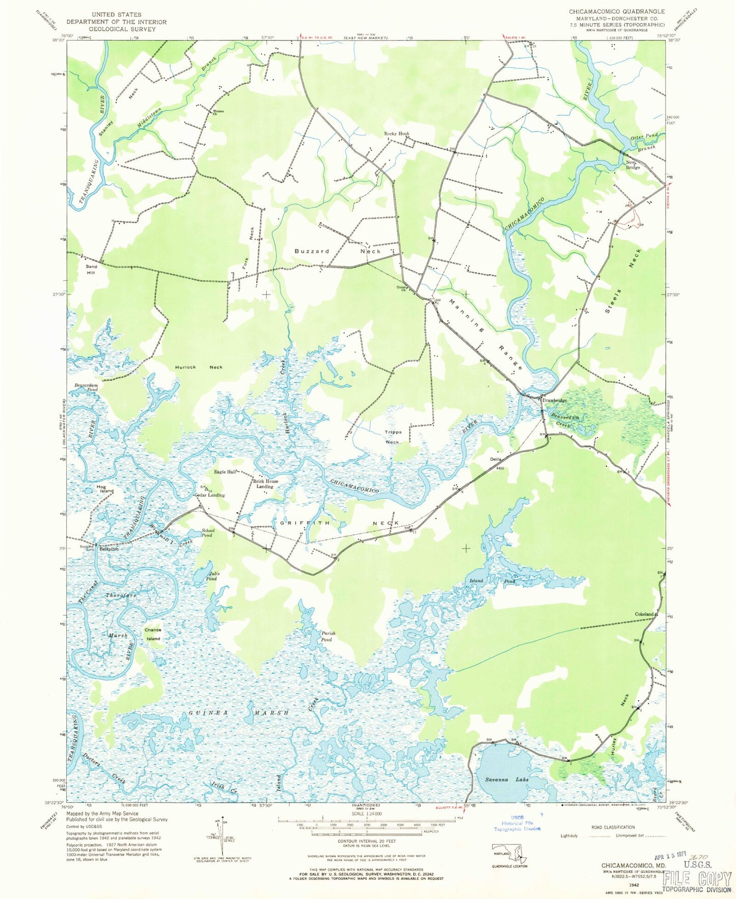
Classic USGS Chicamacomico River Maryland 7.5'x7.5' Topo Map
Couldn't load pickup availability
Historical USGS topographic quad map of Chicamacomico River in the state of Maryland. Map scale may vary for some years, but is generally around 1:24,000. Print size is approximately 24" x 27"
This quadrangle is in the following counties: Dorchester.
The map contains contour lines, roads, rivers, towns, and lakes. Printed on high-quality waterproof paper with UV fade-resistant inks, and shipped rolled.
Contains the following named places: Bare Swamp, Beaverdam Creek, Beaverdam Pond, Bestpitch, Bestpitch Ferry, Brick House Landing, Buzzard Neck, Cedar Landing, Chance Island, Chicamacomico River, Cokeland, DeCoursey Bridge, Delia Hill, District 11 Drawbridge, District 17 Salem, Doctors Creek, Drawbridge, Eagle Hall, Fork Neck, Griffith Neck, Hog Island, Hurlock Creek, Hurlock Neck, Island Pond, Julie Pond, Le Compte Wildlife Management Area, Manning Range, Middletown Branch, New Bridge, Otter Pond Branch, Parish Pond, Rocky Hook, Sand Hill, Savanna Lake, School Pond, Stanley Neck, Steels Neck, The Canal, Thorofare Marsh, Tripps Neck, Union Church, Waters Church, Windmill Creek, ZIP Code: 21869