MyTopo
Classic USGS Chicken Creek Summit Nevada 7.5'x7.5' Topo Map
Couldn't load pickup availability
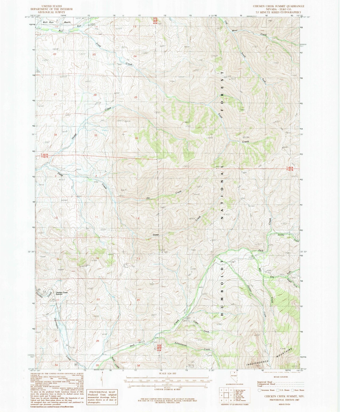
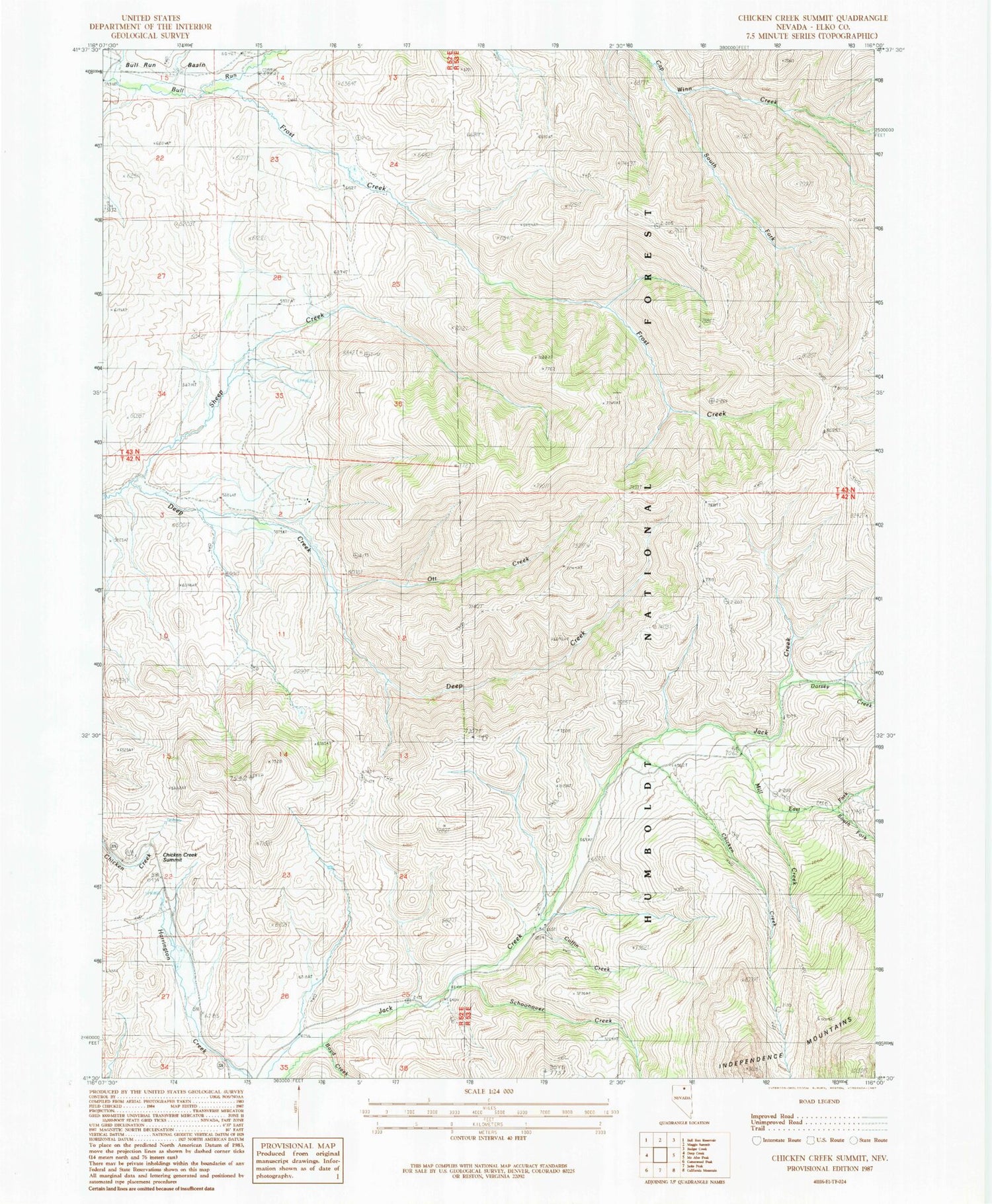
Historical USGS topographic quad map of Chicken Creek Summit in the state of Nevada. Typical map scale is 1:24,000, but may vary for certain years, if available. Print size: 24" x 27"
This quadrangle is in the following counties: Elko.
The map contains contour lines, roads, rivers, towns, and lakes. Printed on high-quality waterproof paper with UV fade-resistant inks, and shipped rolled.
Contains the following named places: Sheep Creek, Boyd Creek, Chicken Creek, Chicken Creek Summit, Coffin Creek, Dorsey Creek, East Fork Mill Creek, Frost Creek, Mill Creek, Ott Creek, Schoonover Creek, South Fork Cap Winn Creek, South Fork East Fork Mill Creek, Jack Creek Forest Service Administrative Site, Deep Creek Ranch, Jack Creek Campground