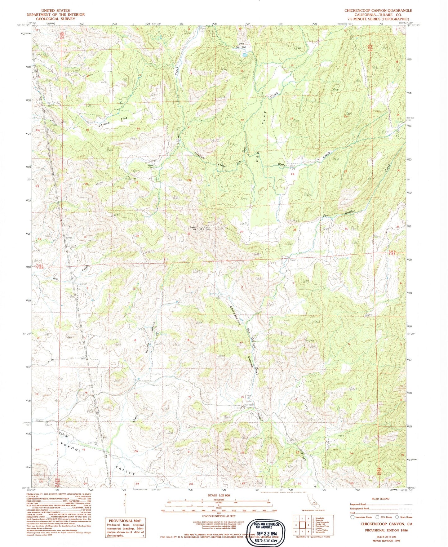
MyTopo
Classic USGS Chickencoop Canyon California 7.5'x7.5' Topo Map
Regular price
$16.95
Regular price
Sale price
$16.95
Unit price
per
Couldn't load pickup availability
Historical USGS topographic quad map of Chickencoop Canyon in the state of California. Map scale may vary for some years, but is generally around 1:24,000. Print size is approximately 24" x 27"
This quadrangle is in the following counties: Tulare.
The map contains contour lines, roads, rivers, towns, and lakes. Printed on high-quality waterproof paper with UV fade-resistant inks, and shipped rolled.
Contains the following named places: Chickencoop Canyon, Franklin Canyon, Hinds Cabin, Jim Gray Creek, Jordan Flat, Little Oak Flat, Oak Flat, Paradise Canyon, Potato Hill, Van Gordon Creek, Wells Creek