MyTopo
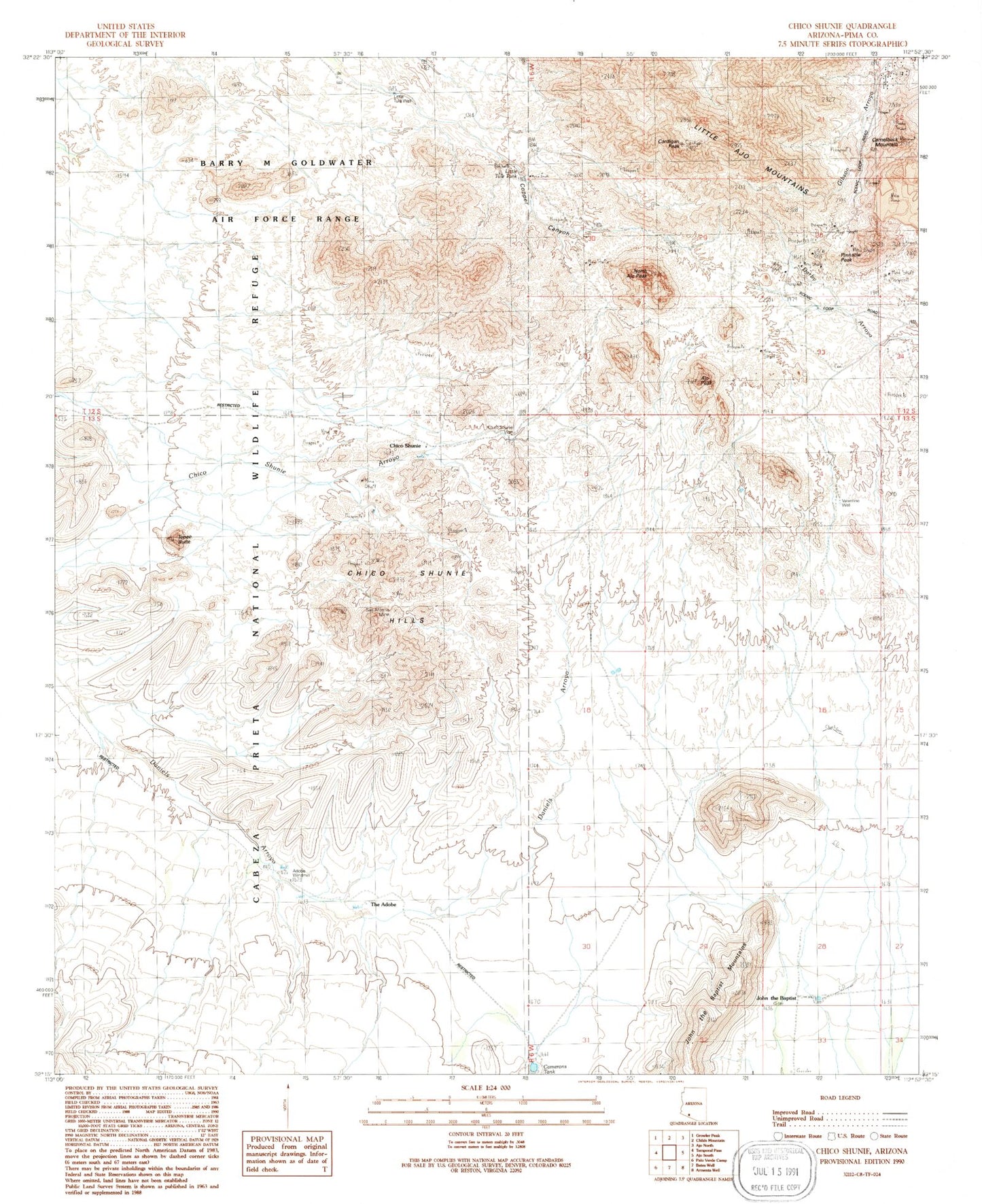
Classic USGS Chico Shunie Arizona 7.5'x7.5' Topo Map
Couldn't load pickup availability
Historical USGS topographic quad map of Chico Shunie in the state of Arizona. Map scale may vary for some years, but is generally around 1:24,000. Print size is approximately 24" x 27"
This quadrangle is in the following counties: Pima.
The map contains contour lines, roads, rivers, towns, and lakes. Printed on high-quality waterproof paper with UV fade-resistant inks, and shipped rolled.
Contains the following named places: Adobe Windmill, Ajo Peak, Camelback Mountain, Camerons Stock Tank, Cardigan Peak, Chico Shunie, Chico Shunie Hills, Chico Shunie Well, Copper Canyon, Greenway Cross, John the Baptist, John the Baptist Mountains, Little Ajo Mountains, Little Tule Tank, Little Tule Well, Mica Mine, North Ajo Peak, Pinnacle Peak, San Antonio Mine, Tepee Butte, The Adobe, Valentine Well