MyTopo
Classic USGS Chicora Pennsylvania 7.5'x7.5' Topo Map
Couldn't load pickup availability
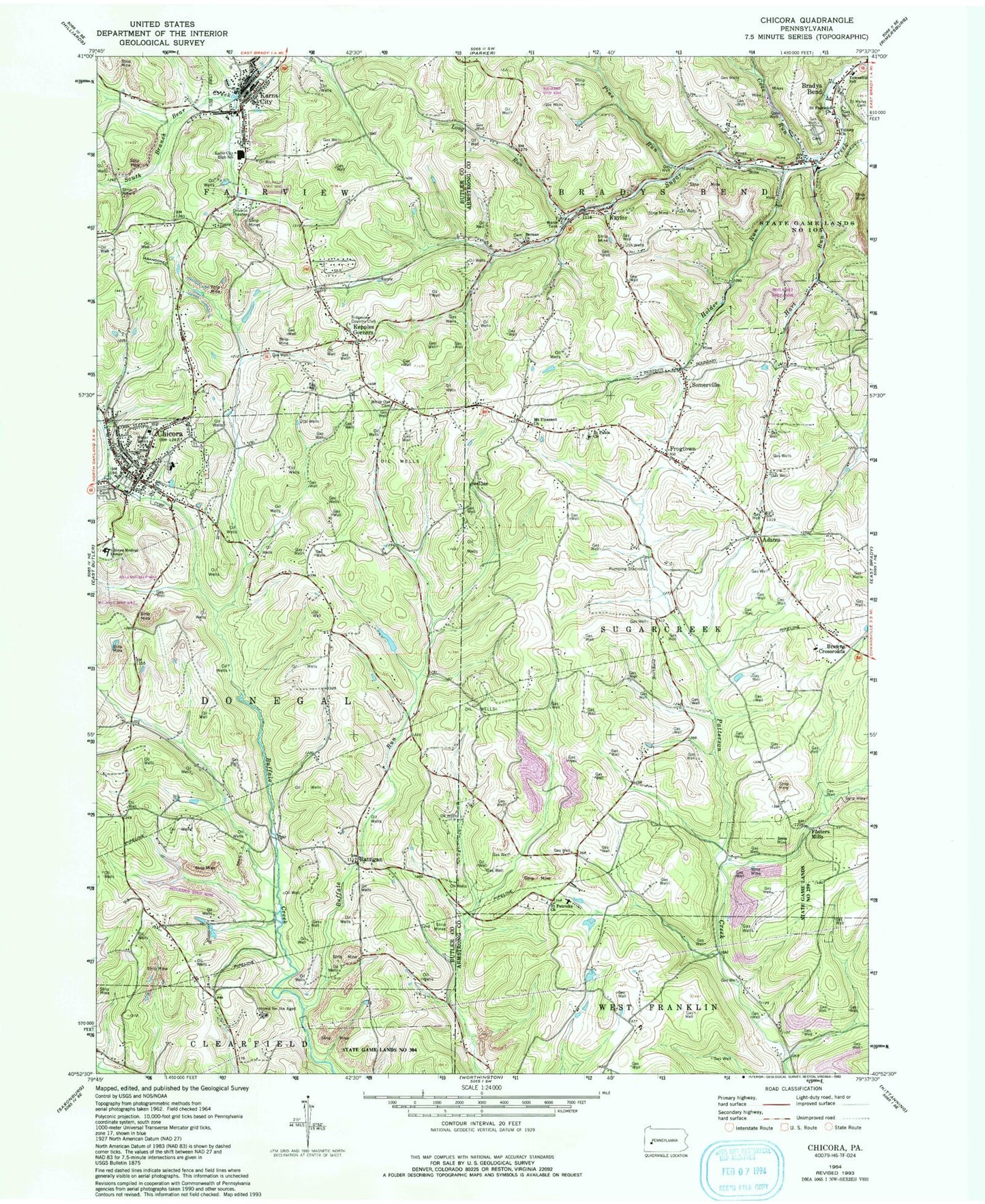
Historical USGS topographic quad map of Chicora in the state of Pennsylvania. Map scale may vary for some years, but is generally around 1:24,000. Print size is approximately 24" x 27"
This quadrangle is in the following counties: Armstrong, Butler.
The map contains contour lines, roads, rivers, towns, and lakes. Printed on high-quality waterproof paper with UV fade-resistant inks, and shipped rolled.
Contains the following named places: Adams, Adams Post Office, Berean Church, Borough of Chicora, Borough of Karns City, Bradys Bend, Bradys Bend Cemetery, Bradys Bend Township School, Browns Crossroads, Buffalo Run, Chicora, Chicora Community Independent Hose Company Station 26, Chicora Elementary School, Chicora Medical Center, Chicora Post Office, Cove Run, Fairmont Station, Fosters Mills, Frogtown, Greenville, Hart Run, Hemphill Cemetery, Hillview Cemetery, Holder Run, Home for the Aged, Karns City, Karns City High School, Karns City Post Office, Kaylor, Kaylor Bridge, Kepples Corners, Liggett Station, Long Run, Millerstown, Mount Pleasant Church, Mount Pleasant Lutheran Cemetery, Oak Grove Cemetery, Pine Run, Rattigan, Ridgeview Country Club, Saint John Reformed Cemetery, Saint Marys Cemetery, Saint Patricks Cemetery, Saint Patricks Church, Saint Pauls Church, Saint Stephens Church, Somerville, State Game Lands Number 105, State Game Lands Number 259, State Game Lands Number 304, Sugarcreek Township Ambulance Service Station 230, Sugarcreek Township Volunteer Fire Department Station 230, Township of Bradys Bend, Township of Donegal, Township of Fairview, Township of Sugarcreek, Trinity Church, Waltman Airport, White Oak Cemetery, Wilson Cemetery, ZIP Code: 16028


