MyTopo
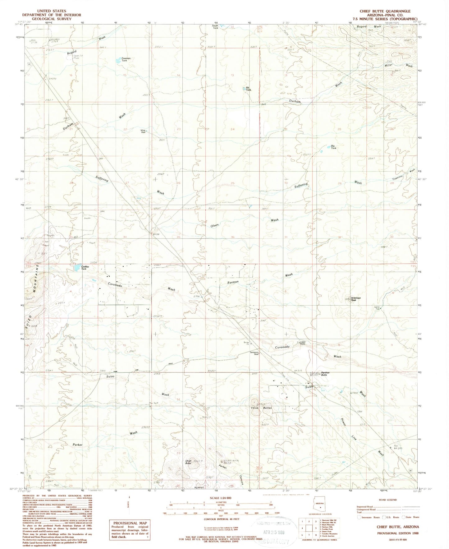
Classic USGS Chief Butte Arizona 7.5'x7.5' Topo Map
Couldn't load pickup availability
Historical USGS topographic quad map of Chief Butte in the state of Arizona. Map scale may vary for some years, but is generally around 1:24,000. Print size is approximately 24" x 27"
This quadrangle is in the following counties: Pinal.
The map contains contour lines, roads, rivers, towns, and lakes. Printed on high-quality waterproof paper with UV fade-resistant inks, and shipped rolled.
Contains the following named places: Antelope Peak, Big Mine, Big Tank, Cadillac Tank, Chief Butte, Forman Ranch, Forman Wash, Freeman Tank, Hit Tank, Lopez Wells, Miller Wash, Mine Well, North Well, Olsen Wash, Panther Butte, Parker Canyon, Power Line Wash, Sampson Well, Slash Well, South Tank, Suizo Mountains, Sutton Well, Three Buttes, Tipperary Wash