MyTopo
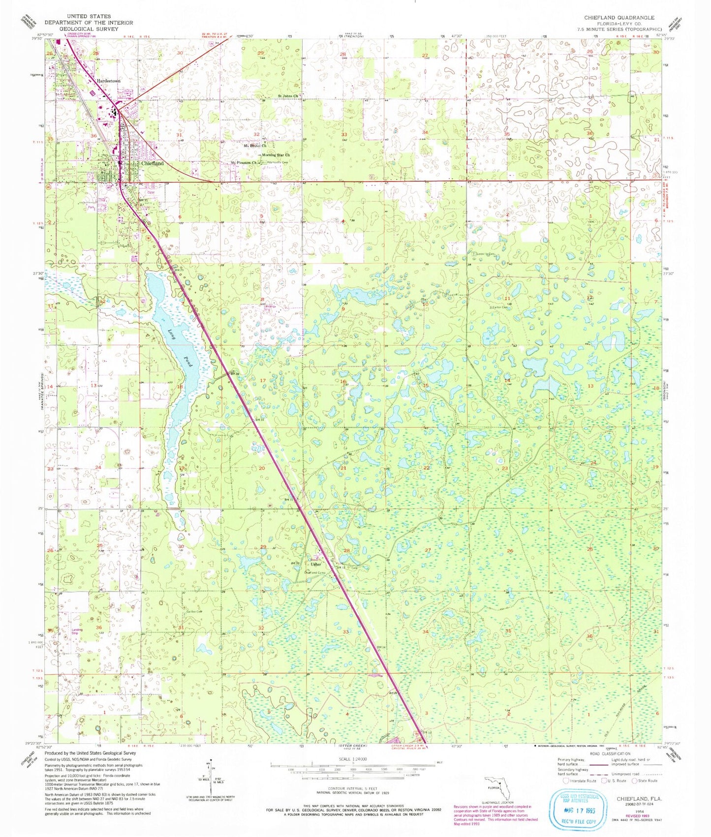
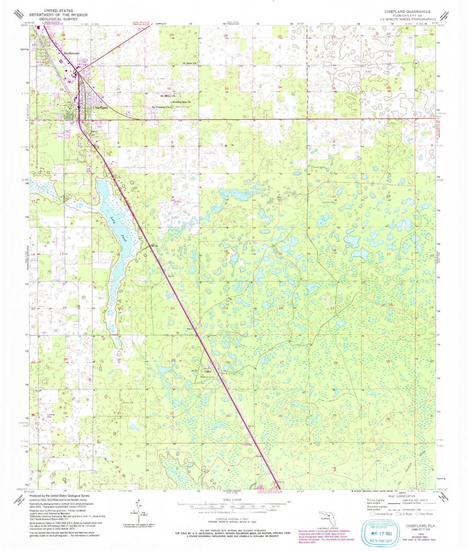
Classic USGS Chiefland Florida 7.5'x7.5' Topo Map
Couldn't load pickup availability
Historical USGS topographic quad map of Chiefland in the state of Florida. Map scale may vary for some years, but is generally around 1:24,000. Print size is approximately 24" x 27"
This quadrangle is in the following counties: Levy.
The map contains contour lines, roads, rivers, towns, and lakes. Printed on high-quality waterproof paper with UV fade-resistant inks, and shipped rolled.
Contains the following named places: Adamsville Cemetery, Carter Cemetery, Chiefland, Chiefland Camp, Chiefland Cemetery, Chiefland Church of Christ, Chiefland City Hall, Chiefland Community Cemetery, Chiefland East Cell Phone Tower, Chiefland Elementary School, Chiefland Fire Department, Chiefland High School, Chiefland High School Football Stadium, Chiefland Middle School, Chiefland Police Department, Chiefland Post Office, Chiefland Shopping Center, Chiefland Sky Ranch Airport, Chiefland Water Tower, Church of God, Church of Jesus Christ of Latter Day Saints, City of Chiefland, City of Chiefland Eddie Buie Park, Family Bible Church, First United Methodist Church, Galilee Cemetery, Gospel of Faith Revival Center, Hardeetown, Hardeetown Baptist Church, Levy County Emergency Medical Services Station 7, Levy County EMS Station Number 2, Levyville Cemetery, Lighthouse Word Church, Long Pond, Luther Callaway Library, Mills Ranch Airport, Morning Star Church, Mount Bethel United Methodist Church, Mount Olive Cemetery, Mount Pleasant Church, New Zion Cemetery, New Zion Church, St. John Missionary Baptist Church, St.John The Evangelist Catholic Church, Trinity Baptist Church, Usher, Usher Family Cemetery, Usher Forestry Lookout Tower, Westside Church of Christ


