
MyTopo
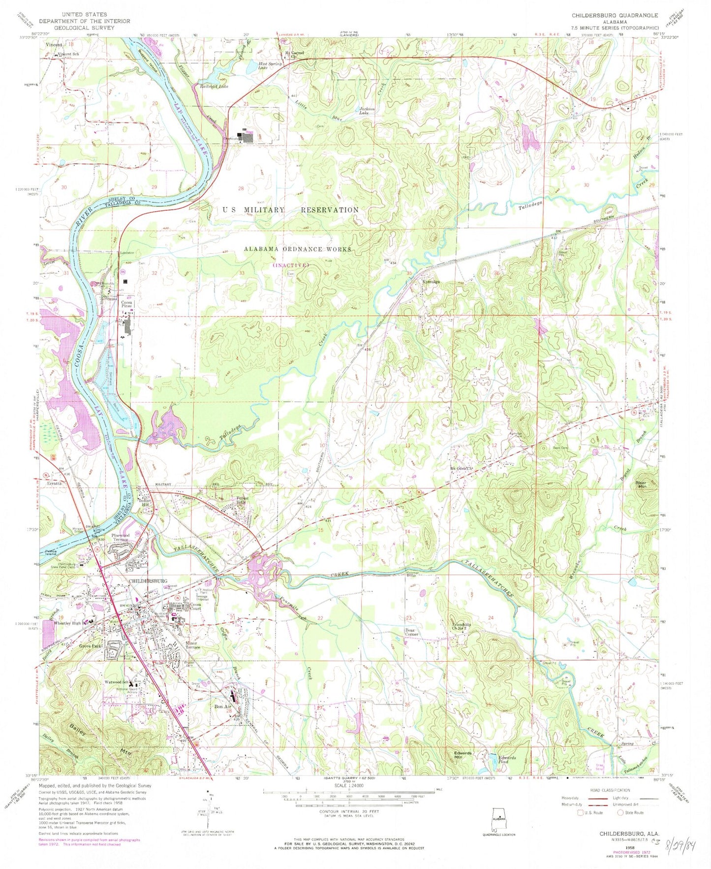
Classic USGS Childersburg Alabama 7.5'x7.5' Topo Map
Couldn't load pickup availability
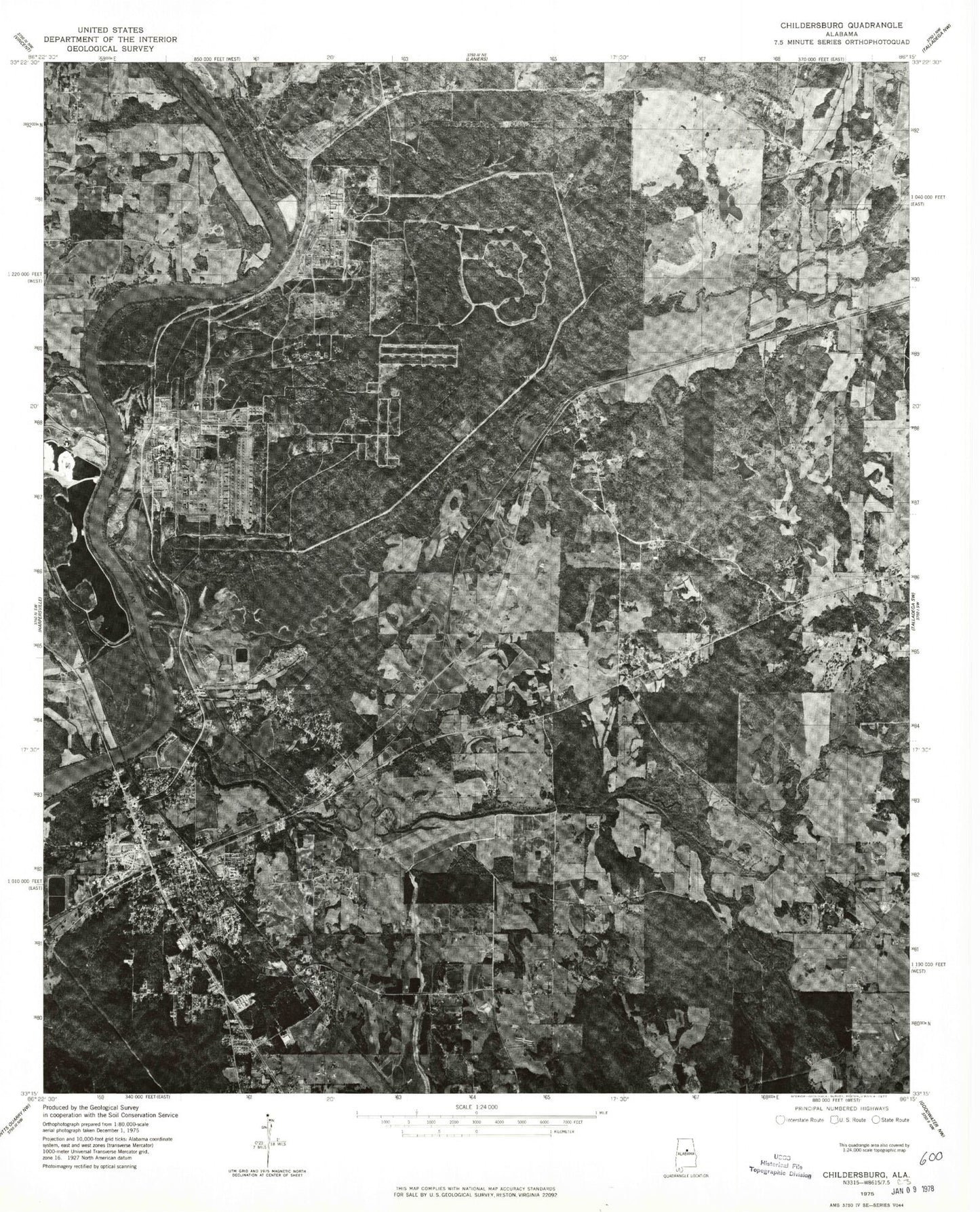
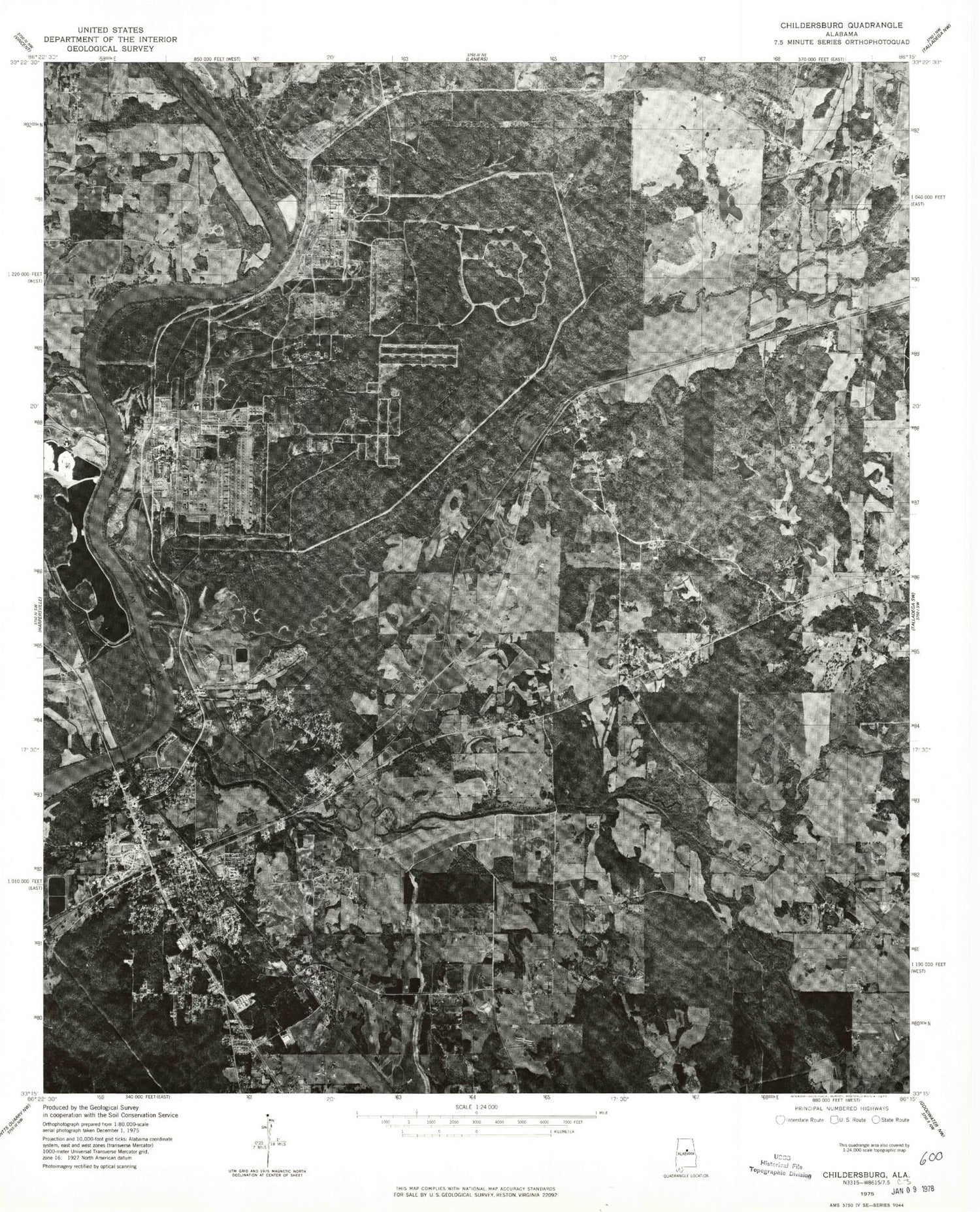
Historical USGS topographic quad map of Childersburg in the state of Alabama. Map scale may vary for some years, but is generally around 1:24,000. Print size is approximately 24" x 27"
This quadrangle is in the following counties: Shelby, Talladega.
The map contains contour lines, roads, rivers, towns, and lakes. Printed on high-quality waterproof paper with UV fade-resistant inks, and shipped rolled.
Contains the following named places: A H Watwood Elementary School, Abacoochee, Bailey Mountain, Blue Spring, Blue Spring Lake, Boaz Corner, Boiling Spring, Bon Air, Bon Air Baptist Church, Bryant Branch, Butts Depot, Buzzard Island, Calvary Baptist Church, Cave Mountain, Charles C Killough Field, Childersburg, Childersburg Cemetery, Childersburg Division, Childersburg Elementary School, Childersburg Fire and Rescue, Childersburg High School, Childersburg Police Department, Childersburg Post Office, Childersburg Shopping Center, Childersburg State Penal Camp, City of Childersburg, Coleman Bridge, Coleman Ford, Coleman Mill, Cook Mine, Coosa, Coosa Court, Coosa Pines, Coosa River Golf Course, Curtis Camp, Davis Cemetery, Donahoo Dam, Edwards, Edwards Dam, Edwards Mountain, Edwards Pond, Edwards Station, Erratta, Fanning Branch, First Baptist Church, First Presbyterian Church, First United Methodist Church, Flipper Creek, Forest Hills, Fourmile Creek, Fredericks Mill, Friendship Baptist Church, Green Hill Memorial Gardens, Griffin Branch, Grove Park, Harkins Dam, Harkins Lake, Hudson Branch, Indian Hill, Jackson Lake, Jones Dam, Jones Lake, Killough Lake, Kymulga, Kymulga Covered Bridge, Kymulga Mill, Lake Donahoo, Lake Limbaugh, Limbaugh Dam, Little Blue Creek, Little Tallaseehatchee Creek, Locust Creek, Minor Terrace, Morgan Bridge, Mortimer, Mount Carmel Baptist Church, Mount Olive Baptist Church, Mount Olive Cemetery, Mount Olive Church, Mount Olive School, Mount Zion Christian Methodist Episcopal Cemetery, Mount Zion Cumberland Presbyterian Church, Mount Zion Methodist Church, Nauche, NEW-AM (Childersburg), Nicholls Cemetery, Nottingham Junior High School, Old Kymulga Ferry, Old Lawson Ferry, Old Reynolds Cemetery, Pinewood Terrace, Railroad Lake, Rhoden Cemetery, Rhoden Spring, Riser Mountain, Selwood Plantation, Talladega County Industrial Park, Talladega Creek, Tallaseehatchee Creek, Town of Bon Air, Trinity Baptist Church, Union Hill Church, Union Hill School, Vincent School, Weewoka Creek, Welches Spring Branch, Wheatley High School, ZIP Codes: 35014, 35032