MyTopo
Classic USGS Childs Hill California 7.5'x7.5' Topo Map
Regular price
$16.95
Regular price
Sale price
$16.95
Unit price
per
Couldn't load pickup availability
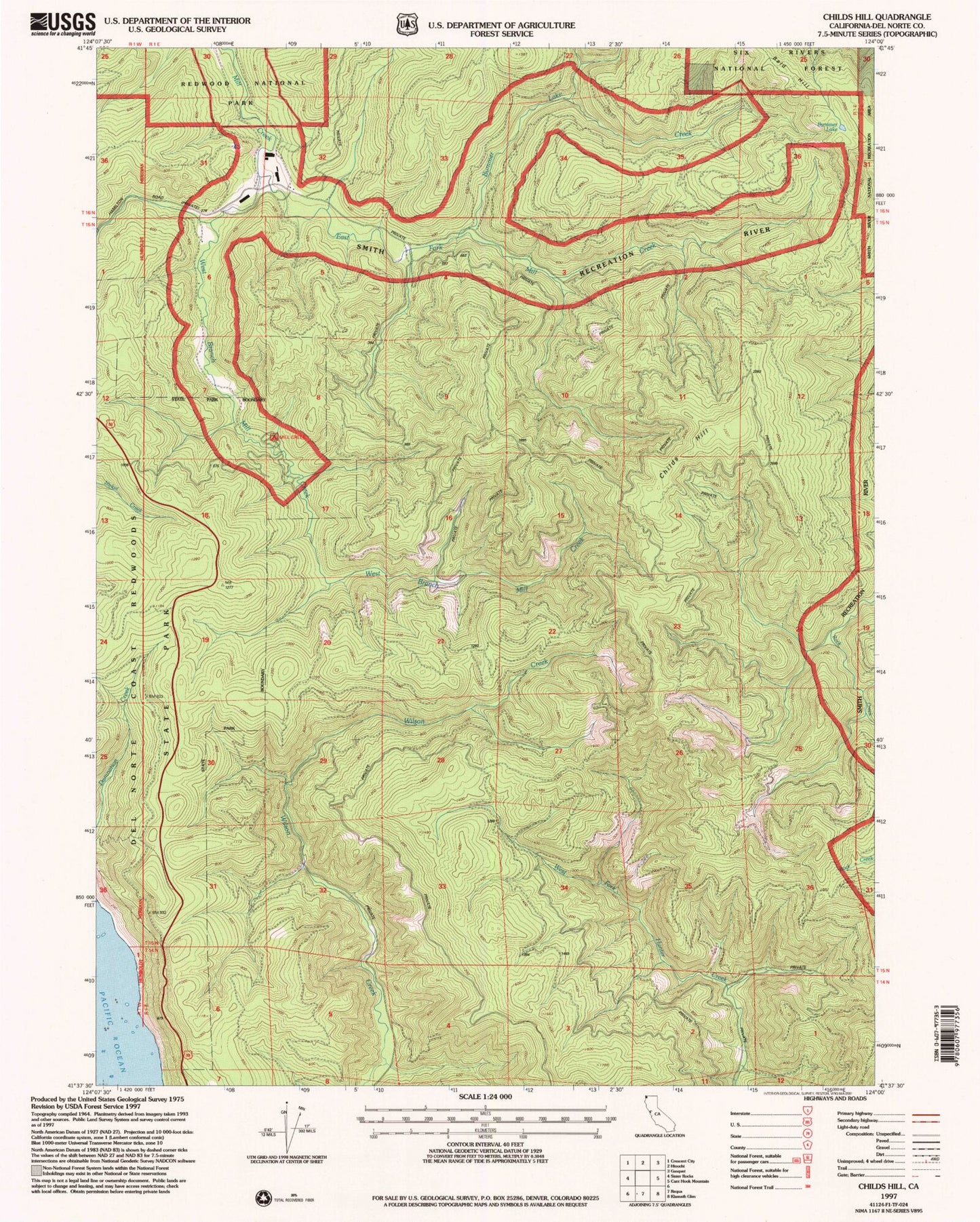
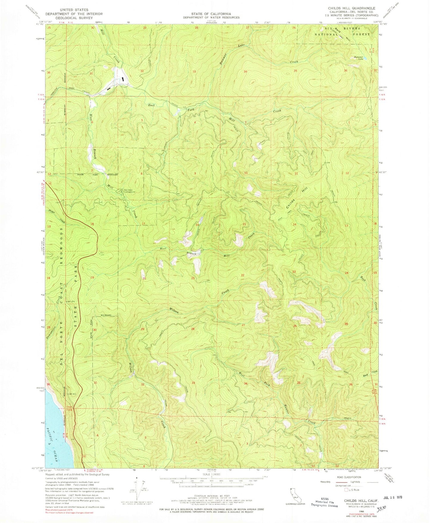
Historical USGS topographic quad map of Childs Hill in the state of California. Map scale may vary for some years, but is generally around 1:24,000. Print size is approximately 24" x 27"
This quadrangle is in the following counties: Del Norte.
The map contains contour lines, roads, rivers, towns, and lakes. Printed on high-quality waterproof paper with UV fade-resistant inks, and shipped rolled.
Contains the following named places: Bummer Lake, Bummer Lake Creek, Childs Hill, Del Norte Coast Redwoods State Park, East Fork Mill Creek, Mill Creek Recreation Site, Red Alder Campground, West Branch Mill Creek