MyTopo
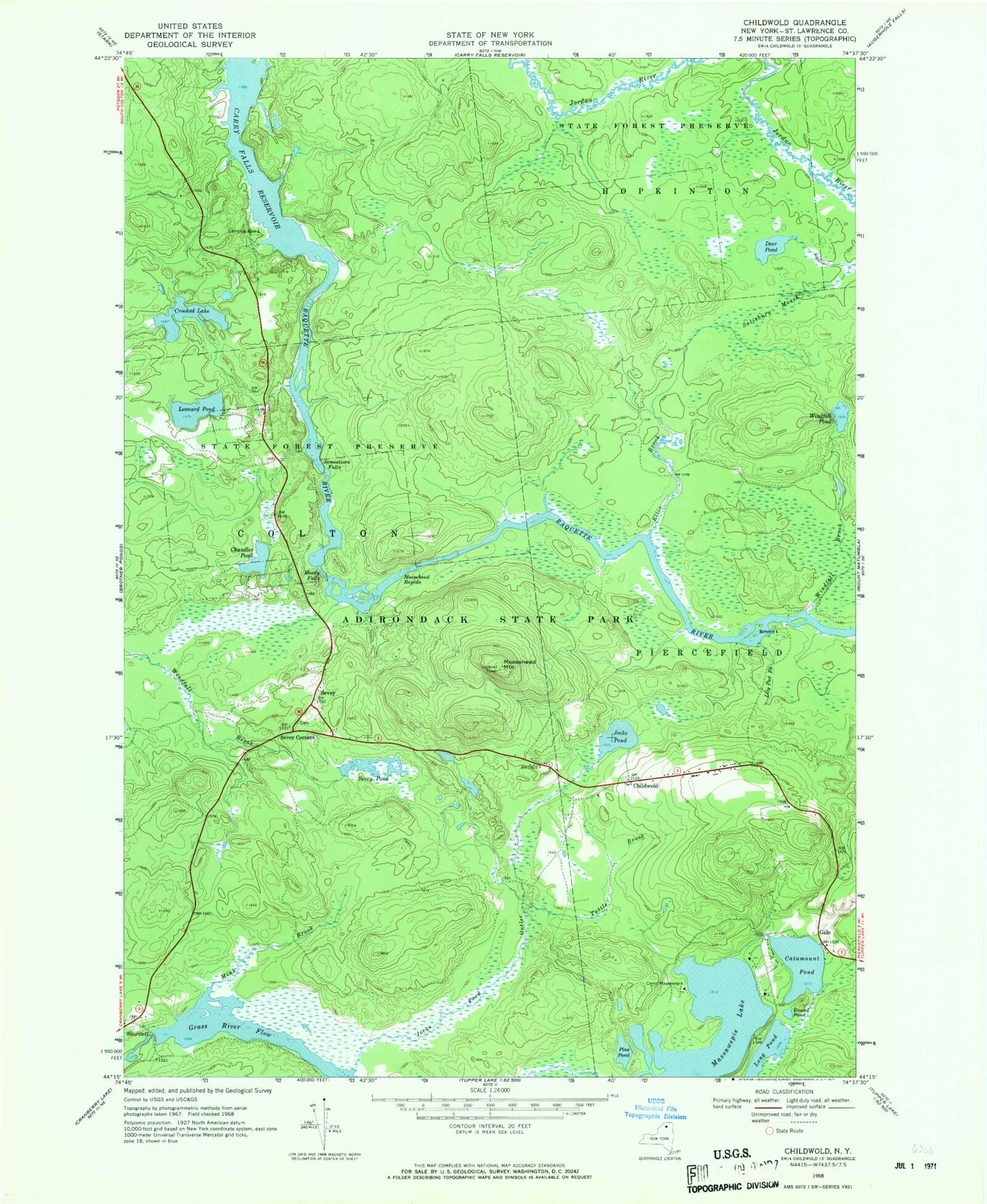
Classic USGS Childwold New York 7.5'x7.5' Topo Map
Couldn't load pickup availability
Historical USGS topographic quad map of Childwold in the state of New York. Map scale may vary for some years, but is generally around 1:24,000. Print size is approximately 24" x 27"
This quadrangle is in the following counties: St. Lawrence.
The map contains contour lines, roads, rivers, towns, and lakes. Printed on high-quality waterproof paper with UV fade-resistant inks, and shipped rolled.
Contains the following named places: Bear Brook, Camp Massawepie, Catamount Pond, Chandler Pond, Childwold, Childwold Park, Childwold School, Crooked Lake, Deer Pond, Ellis Brook, Gale, Grass River Flow, Halls Rapids, Hollywood School, Jamestown Falls, Jocks Pond, Jocks Pond Outlet, Leonard Pond, Lily Pad Brook, Long Pond, Long Rapids, Massawepie Lake, Mink Brook, Moody Falls, Moosehead Mountain, Moosehead Rapids, Pine Pond, Round Pond, Salisbury Marsh, Sevey, Sevey Corners, Sevey Pond, Shurtleff, Smith Island, Tuttle Brook, Windfall Brook, Windfall Pond, ZIP Code: 12922


