MyTopo
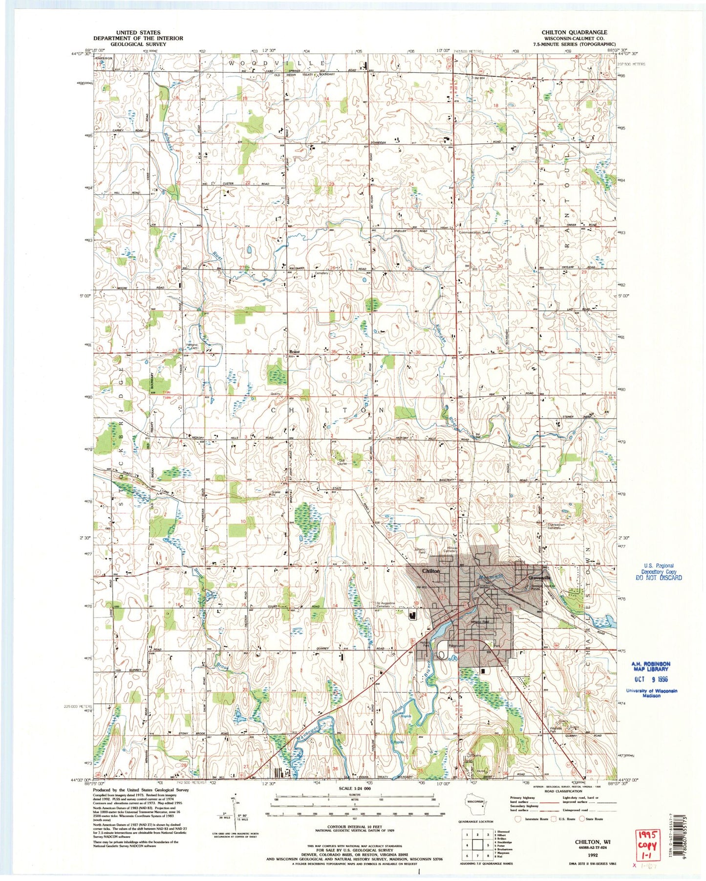
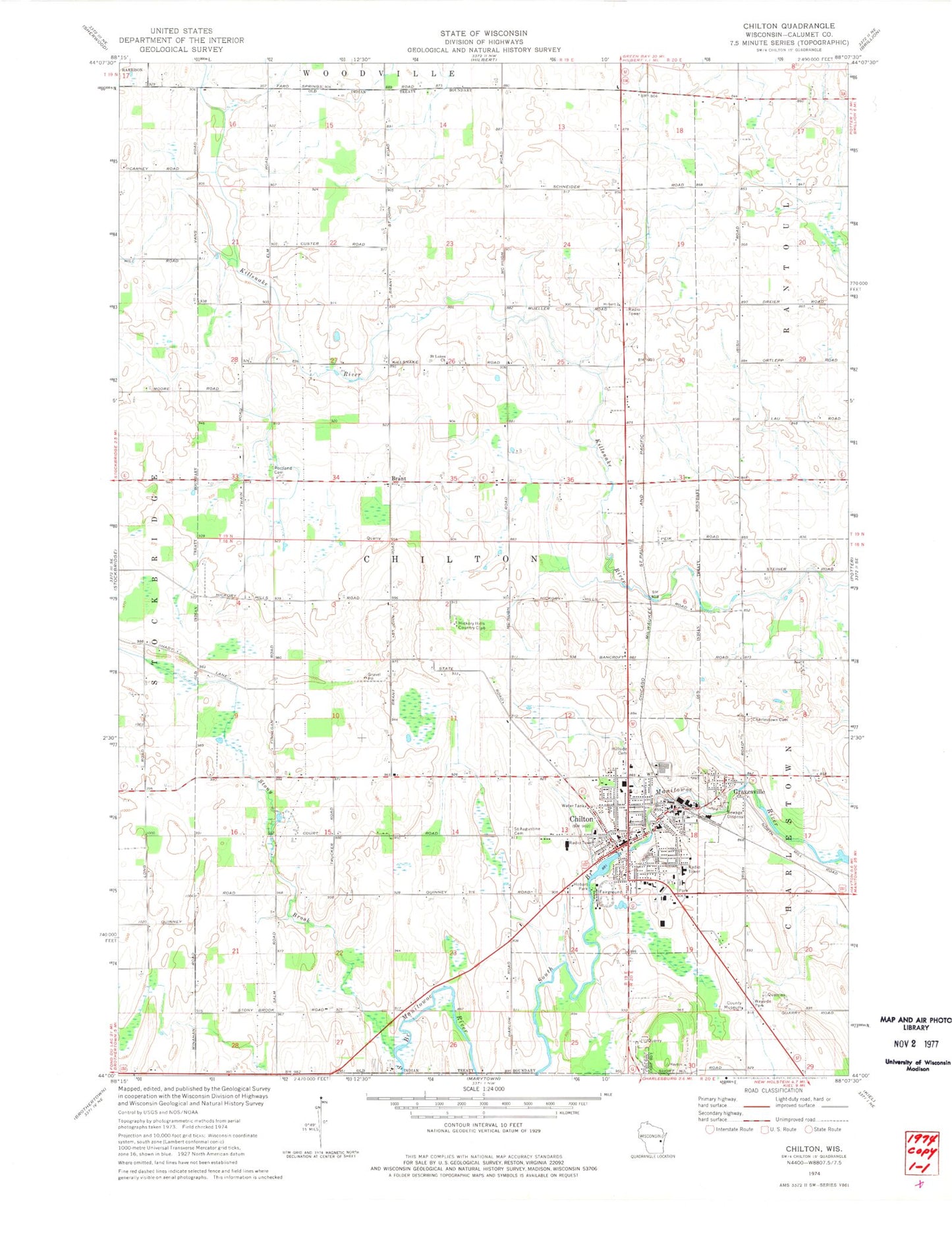
Classic USGS Chilton Wisconsin 7.5'x7.5' Topo Map
Couldn't load pickup availability
Historical USGS topographic quad map of Chilton in the state of Wisconsin. Map scale may vary for some years, but is generally around 1:24,000. Print size is approximately 24" x 27"
This quadrangle is in the following counties: Calumet.
The map contains contour lines, roads, rivers, towns, and lakes. Printed on high-quality waterproof paper with UV fade-resistant inks, and shipped rolled.
Contains the following named places: Ascension Calumet Hospital, Brant, Brant Church, Calumet County, Calumet County Courthouse, Calumet County Jail, Calumet County Sheriff's Office, Charlestown Cemetery, Chilton, Chilton Area Catholic School, Chilton City Hall, Chilton Elementary School, Chilton High School, Chilton Middle School, Chilton Millpond 75, Chilton Post Office, Chilton Public Library, Chilton Volunteer Fire Department, Chilton WP129 Dam, City of Chilton, Ebenezer United Church of Christ, First Ward, Flying Feathers Airport, Fourth Ward, Fox Valley Technical College Chilton Regional Center, Grand Street Alliance Church, Gravesville, Gruber Farm, Hickory Hills Country Club, Hillside Cemetery, Hobart Park, KFKQ-FM (New Holstein), Klinkner Memorial Park, Leahy Lakeshore Park, New Hope Center, Portland Cemetery, Riverside Park, Saint Augustine Catholic Church, Saint Augustine Cemetery, Saint Augustine School, Saint Boniface Episcopal Church, Saint Luke Lutheran Cemetery, Saint Lukes Church, Saint Martin Lutheran Church, Saint Mary Catholic Church, Saint Mary's Cemetery, Second Ward, Sherman School, Stony Brook, Third Ward, Town of Chilton, Trinity Presbyterian Church, Twain School, WMBE-AM (Chilton), Wray School, ZIP Code: 53014


