MyTopo
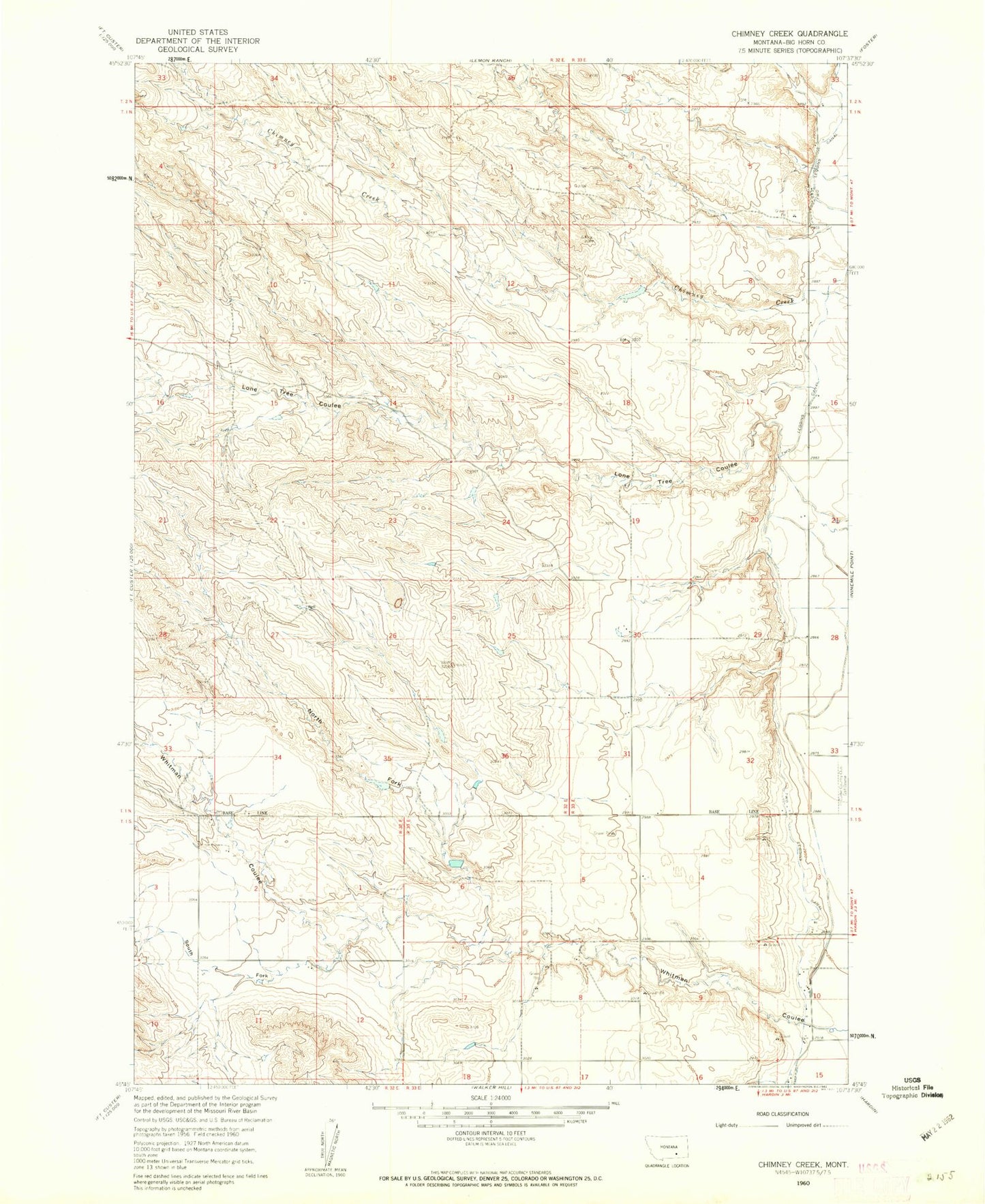
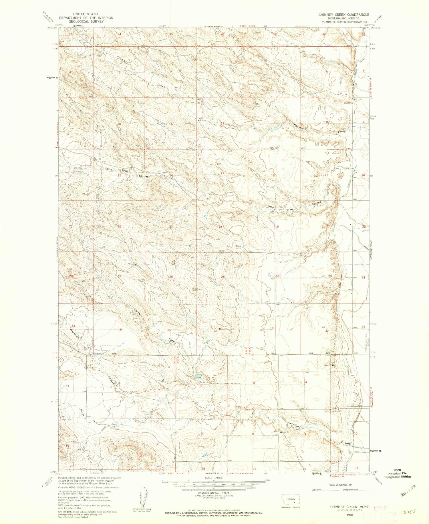
Classic USGS Chimney Creek Montana 7.5'x7.5' Topo Map
Couldn't load pickup availability
Historical USGS topographic quad map of Chimney Creek in the state of Montana. Map scale may vary for some years, but is generally around 1:24,000. Print size is approximately 24" x 27"
This quadrangle is in the following counties: Big Horn.
The map contains contour lines, roads, rivers, towns, and lakes. Printed on high-quality waterproof paper with UV fade-resistant inks, and shipped rolled.
Contains the following named places: 01N33E20CD__01 Well, 01N33E31CDA_01 Well, 01N33E31DC__01 Well, 01N33E32ADDD01 Well, 01N38E29ADCC01 Well, 01S33E08BCC_01 Well, 01S33E10CD__01 Well, 01S33E10CDB_01 Well, Lone Tree Coulee, North Fork Whitman Coulee, Raglands Number 1 Dam, South Branch Whitman Coulee, Two Leggins Canal