MyTopo
Classic USGS Chimney Lakes Montana 7.5'x7.5' Topo Map
Regular price
$16.95
Regular price
Sale price
$16.95
Unit price
per
Couldn't load pickup availability
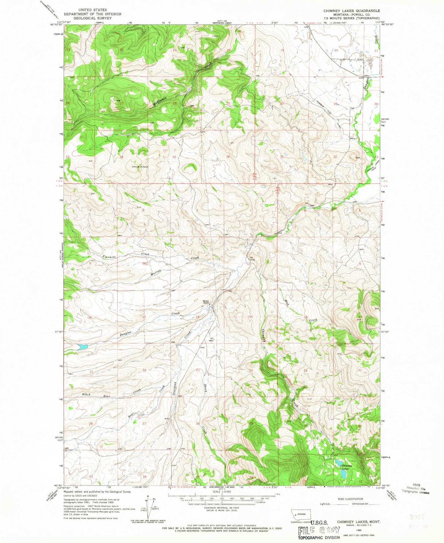
Historical USGS topographic quad map of Chimney Lakes in the state of Montana. Map scale may vary for some years, but is generally around 1:24,000. Print size is approximately 24" x 27"
This quadrangle is in the following counties: Powell.
The map contains contour lines, roads, rivers, towns, and lakes. Printed on high-quality waterproof paper with UV fade-resistant inks, and shipped rolled.
Contains the following named places: 12N12W11BBDC01 Spring, 13N11W20DDAA01 Well, 13N11W29DCA_01 Well, Bear Creek, Black Bear Creek, Chimney Creek, Chimney Lakes, Fivemile Creek, Manley Number 2 Dam, Manley Number 3 Dam, Manley Ranch, Mud Creek, Murray Creek, Number Five Ditch, Sheep Creek, Sturgeon Creek