MyTopo
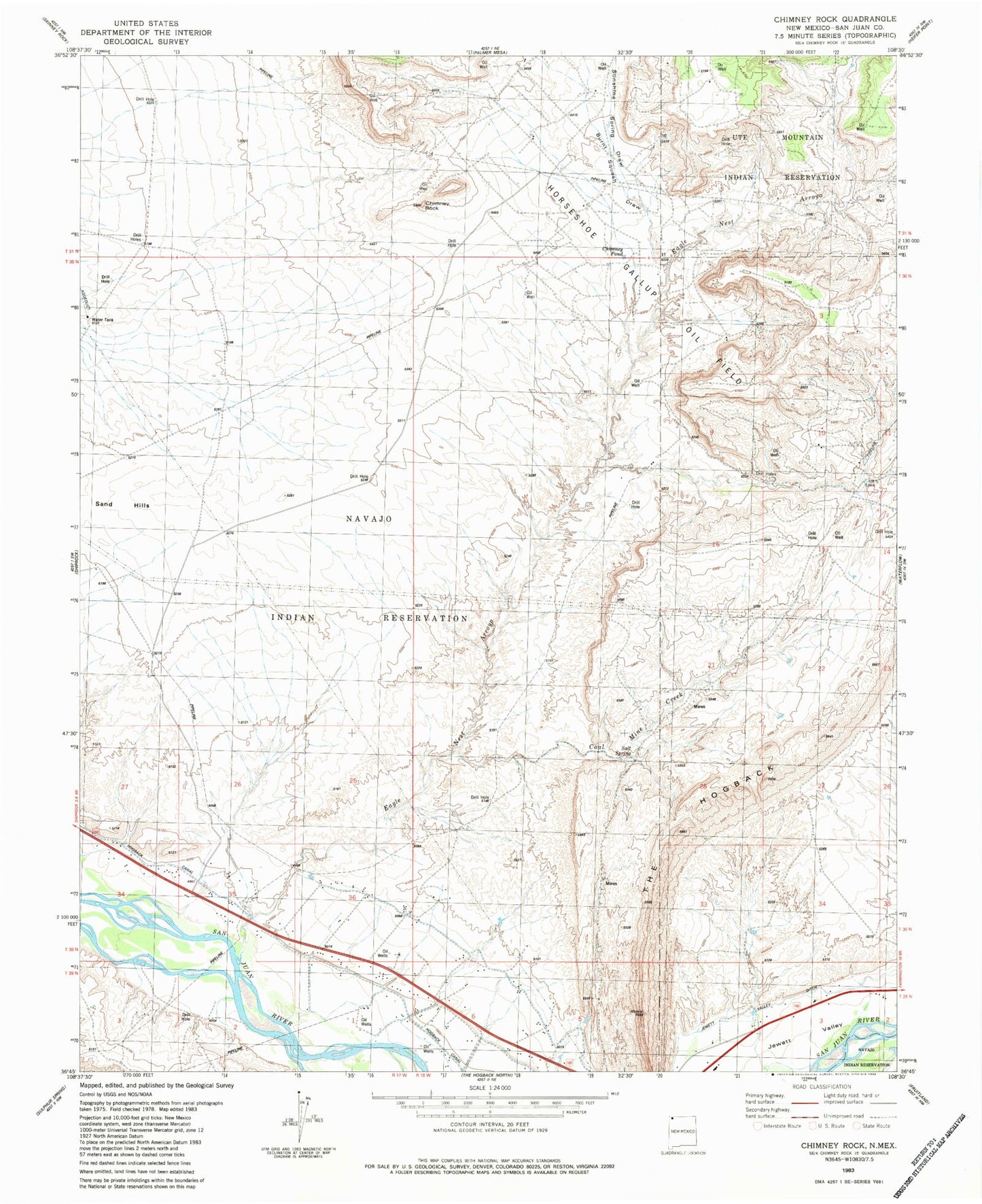
Classic USGS Chimney Rock New Mexico 7.5'x7.5' Topo Map
Couldn't load pickup availability
Historical USGS topographic quad map of Chimney Rock in the state of New Mexico. Map scale may vary for some years, but is generally around 1:24,000. Print size is approximately 24" x 27"
This quadrangle is in the following counties: San Juan.
The map contains contour lines, roads, rivers, towns, and lakes. Printed on high-quality waterproof paper with UV fade-resistant inks, and shipped rolled.
Contains the following named places: Agency Coal Mine, Burnt Squash Draw, Chimney Pond, Chimney Rock, Coal Mine Creek, Eagle Nest Arroyo, Hogback Chapter, Hogback Trading Post, Jewett Valley, OT-1 Water Well, Salt Spring, Sand Hills, Sunshine Spring Draw, WS-2 Water Well, WS-3 Water Well, WS-4 Water Well, WS-5 Water Well, ZIP Code: 87421