
MyTopo
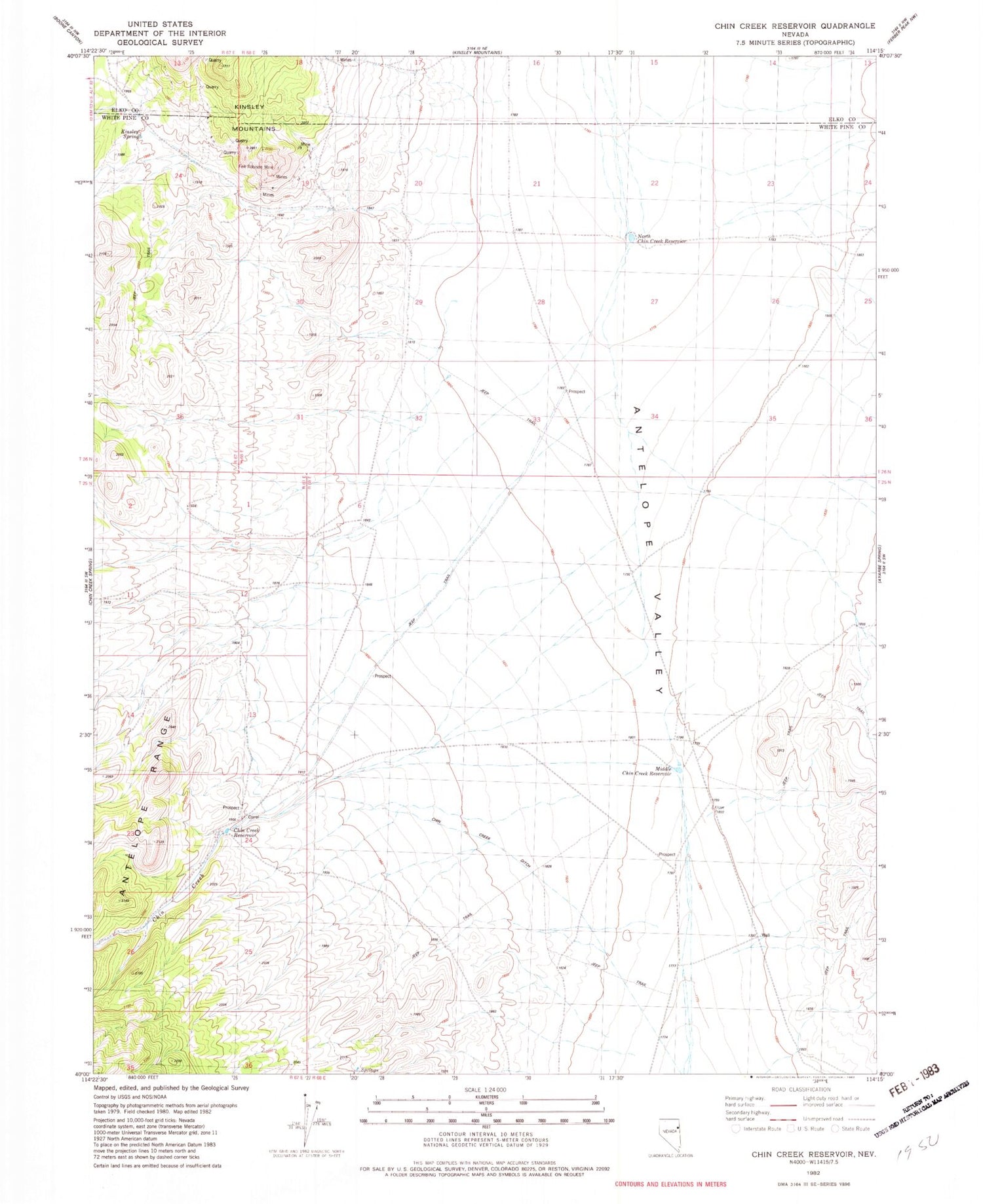
Classic USGS Chin Creek Reservoir Nevada 7.5'x7.5' Topo Map
Couldn't load pickup availability
Historical USGS topographic quad map of Chin Creek Reservoir in the state of Nevada. Map scale may vary for some years, but is generally around 1:24,000. Print size is approximately 24" x 27"
This quadrangle is in the following counties: Elko, White Pine.
The map contains contour lines, roads, rivers, towns, and lakes. Printed on high-quality waterproof paper with UV fade-resistant inks, and shipped rolled.
Contains the following named places: Antelope Valley, Chin Creek Ditch, Chin Creek Ranch, Chin Creek Reservoir, Doty Tunnel, Evan Spring, Felt Robison Mine, Kinsley, Kinsley Mine, Kinsley Mining District, Kinsley Spring, Middle Chin Creek Reservoir, Morning Star Mine, North Chin Creek Reservoir, West Chin Creek Reservoir, Western Marble Mining Camp


