MyTopo
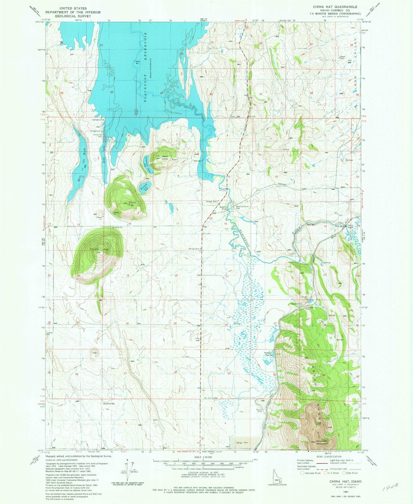
Classic USGS China Hat Idaho 7.5'x7.5' Topo Map
Couldn't load pickup availability
Historical USGS topographic quad map of China Hat in the state of Idaho. Map scale may vary for some years, but is generally around 1:24,000. Print size is approximately 24" x 27"
This quadrangle is in the following counties: Caribou.
The map contains contour lines, roads, rivers, towns, and lakes. Printed on high-quality waterproof paper with UV fade-resistant inks, and shipped rolled.
Contains the following named places: Blackfoot Bridge, Blackfoot River Park, Blackfoot River Park Access Area, Burchett Lake, Caribou County, China Cap, China Cap Dam, China Hat, Clements Ranch, Doulls Ranch, Gronewell Lake, Hole in the Rock, Meadowville, North Cone, Soda Springs Division, Woodall Mountain, Woodall Ranch, Woodall Spring