MyTopo
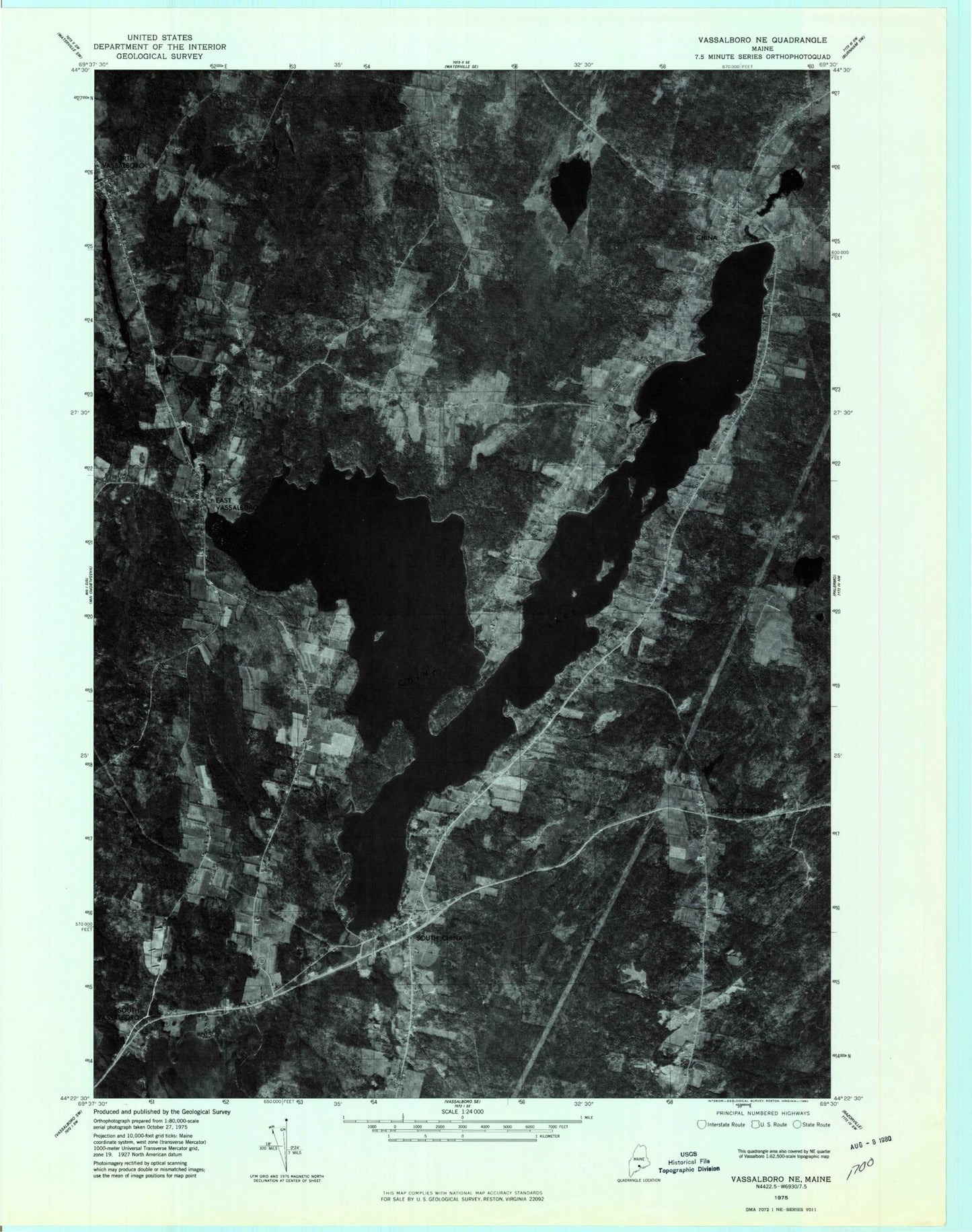
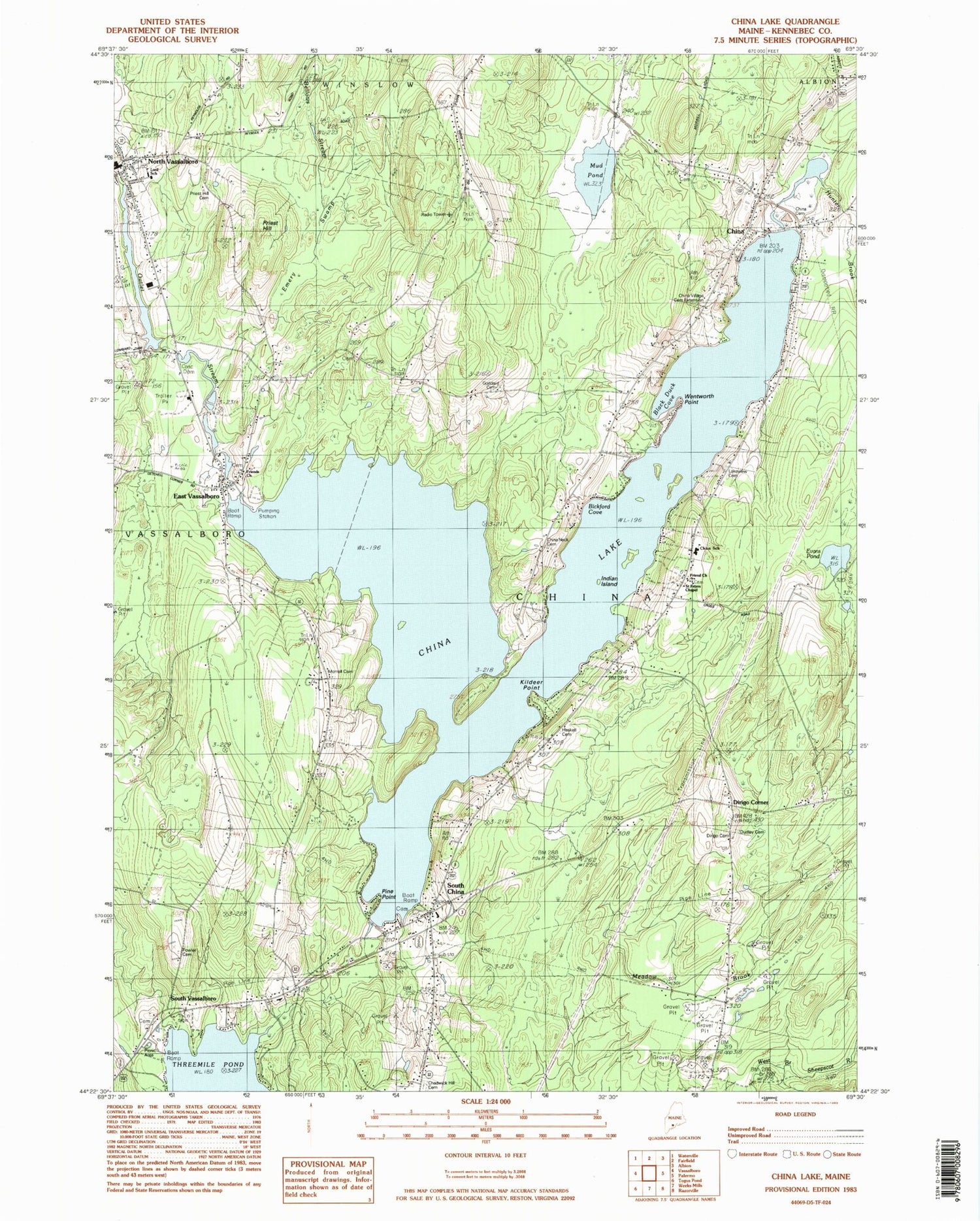
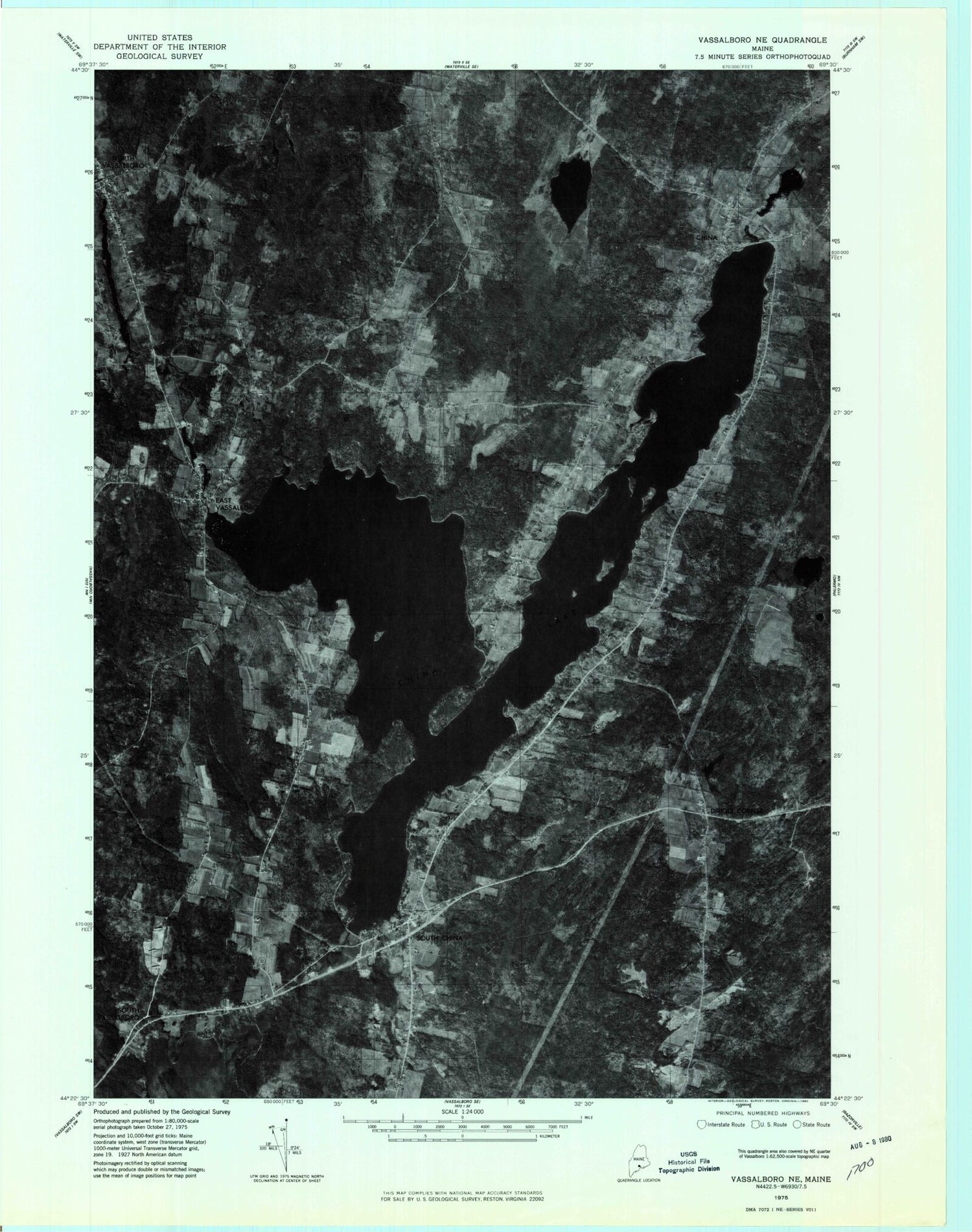
Classic USGS China Lake Maine 7.5'x7.5' Topo Map
Couldn't load pickup availability
Historical USGS topographic quad map of China Lake in the state of Maine. Typical map scale is 1:24,000, but may vary for certain years, if available. Print size: 24" x 27"
This quadrangle is in the following counties: Kennebec.
The map contains contour lines, roads, rivers, towns, and lakes. Printed on high-quality waterproof paper with UV fade-resistant inks, and shipped rolled.
Contains the following named places: Chadwick Hill Cemetery, China, China Lake, China Neck Cemetery, China Middle School, China Village Cemetery, China Village Cemetery Extension, Dirigo Cemetery, Dudley Cemetery, East Vassalboro, Emery Swamp, Evans Pond, Fowler Cemetery, Friends Cemetery, Goddard Cemetery, Haskell Cemetery, Hunter Brook, Indian Island, Killdeer Point, Lakeview Cemetery, Morrell Cemetery, Mud Pond, North Vassalboro, Pigeon Plains School, Priest Hill, Priest Hill Cemetery, South China, Wentworth Point, Dirigo Corner, South Vassalboro, WJBI-FM (Winslow), Town of China, China Lake Dam, Ladd Dam, Outlet Stream, Lombards Dam, Outlet Stream, Morneaus Dam, Outlet Stream, Masses Dam, Outlet Stream, China Volunteer Fire Department South China Station, China Volunteer Fire Department China Village Station, Vassalboro Fire Department North Station, China Village Post Office, China Rescue - Ambulance, East Vassalboro Methodist Cemetery, Friends Churchyard Cemetery, Hodges Cemetery, Morrill Cemetery, North Vassalboro Village Cemetery, South China Cemetery, Whitehouse Cemetery, China Middle School, China Primary School, Vassalboro Public Library, Albert Church Brown Memorial Library, South China Public Library, South China Post Office


