MyTopo
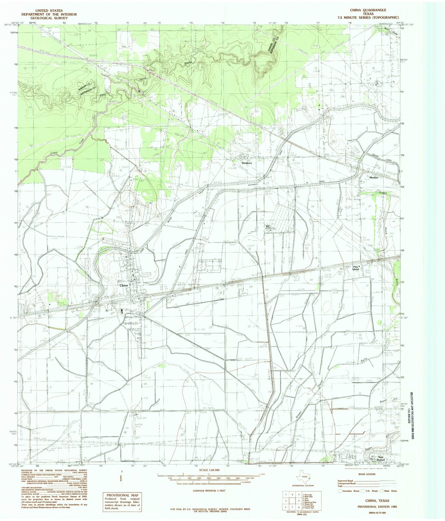
Classic USGS China Texas 7.5'x7.5' Topo Map
Couldn't load pickup availability
Historical USGS topographic quad map of China in the state of Texas. Map scale may vary for some years, but is generally around 1:24,000. Print size is approximately 24" x 27"
This quadrangle is in the following counties: Hardin, Jefferson.
The map contains contour lines, roads, rivers, towns, and lakes. Printed on high-quality waterproof paper with UV fade-resistant inks, and shipped rolled.
Contains the following named places: China, China City Hall, China Post Office, China Volunteer Fire Department, City of China, Cotton Creek, Henderson School, Lower Neches Valley Authority Canal, Meeker, Nome-China Division, Pine Island, Stonecipher Airport, Texas Agricultural Experiment Station, West Jefferson County Volunteer Emergency Medical Service, Westbury, ZIP Codes: 77613, 77713