MyTopo
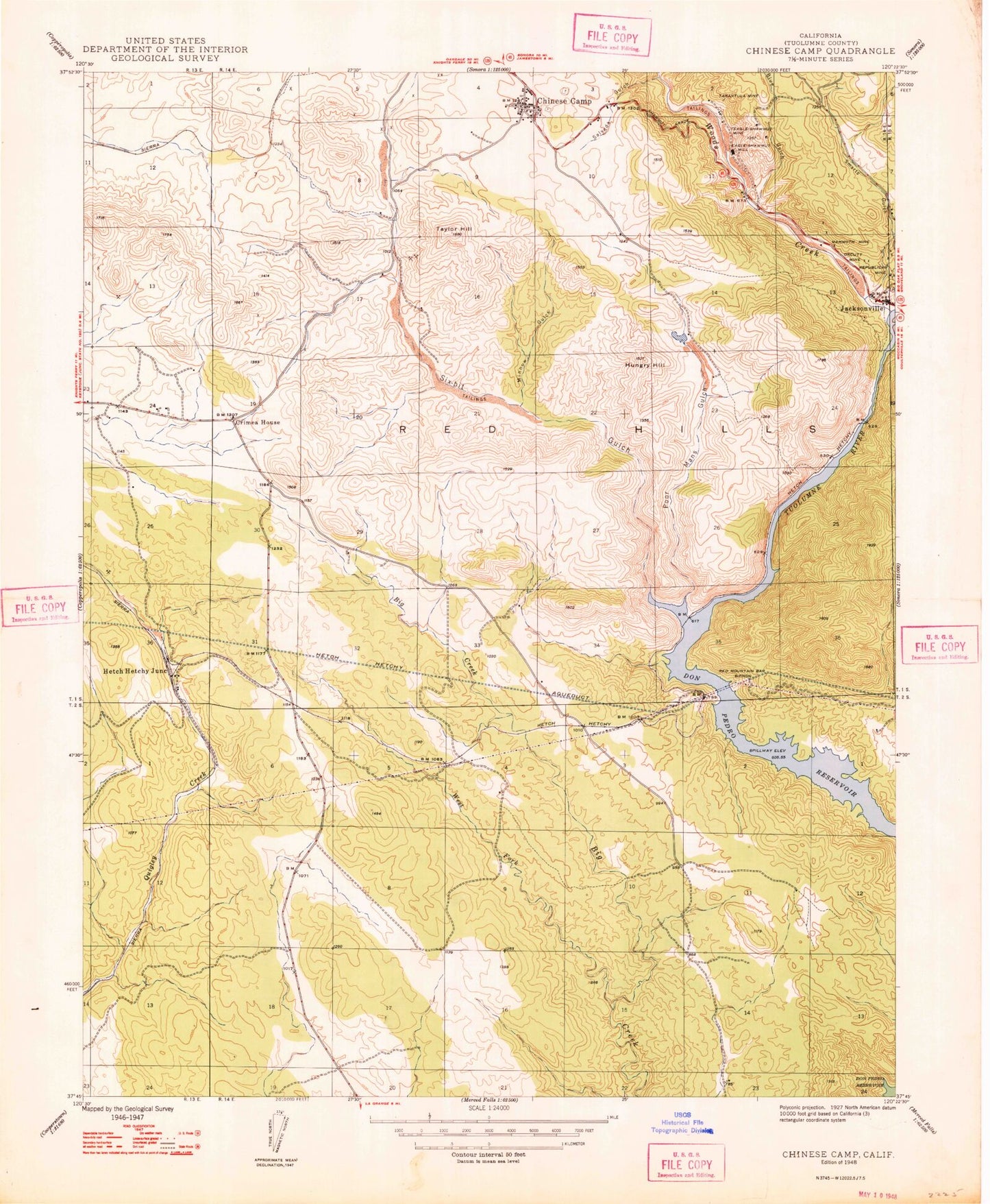
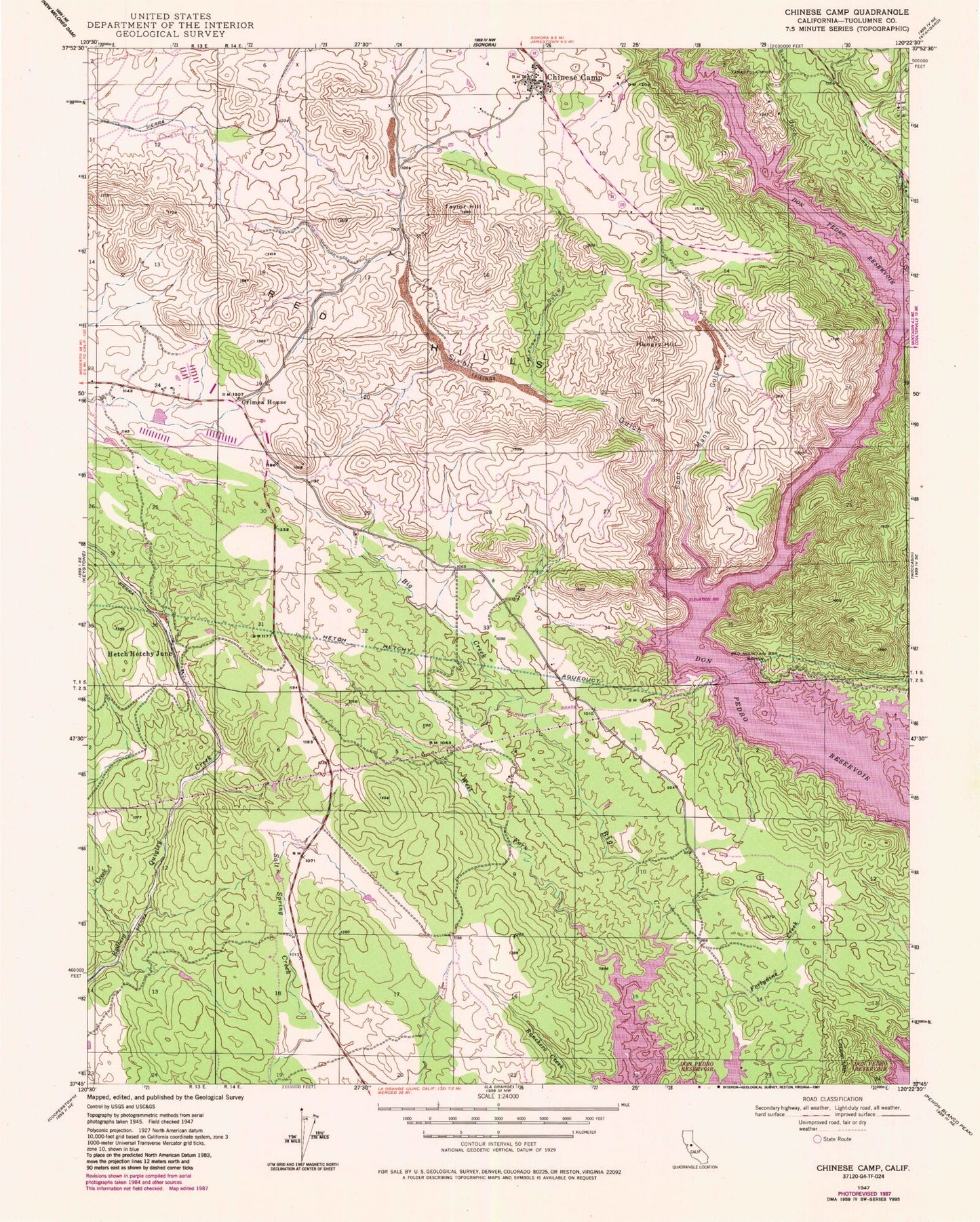
Classic USGS Chinese Camp California 7.5'x7.5' Topo Map
Couldn't load pickup availability
Historical USGS topographic quad map of Chinese Camp in the state of California. Map scale may vary for some years, but is generally around 1:24,000. Print size is approximately 24" x 27"
This quadrangle is in the following counties: Tuolumne.
The map contains contour lines, roads, rivers, towns, and lakes. Printed on high-quality waterproof paper with UV fade-resistant inks, and shipped rolled.
Contains the following named places: Big Creek, Blue Gulch, Brown Adit, Chinese Camp, Chinese Camp Census Designated Place, Chinese Camp City Cemetery, Chinese Camp Elementary School, Chinese Camp Odd Fellows Cemetery, Chinese Camp Post Office, Crimea House, Eagle-Shawmut Mine, Hetch Hetchy Junction, Hungry Hill, Mammoth Mine, Minnow Gulch, Orcutt Mine, Poor Mans Gulch, Quigley Creek, Red Hills, Red Mountain Bar Siphon, Republican Mine, Saint Xavier Catholic Cemetery, Six-bit Gulch, Smarts Gulch, Tarantula Mine, Taylor Hill, Tuolumne County Fire Department Station 61 Chinese Camp, West Fork Big Creek, Woods Creek, ZIP Code: 95327


