MyTopo
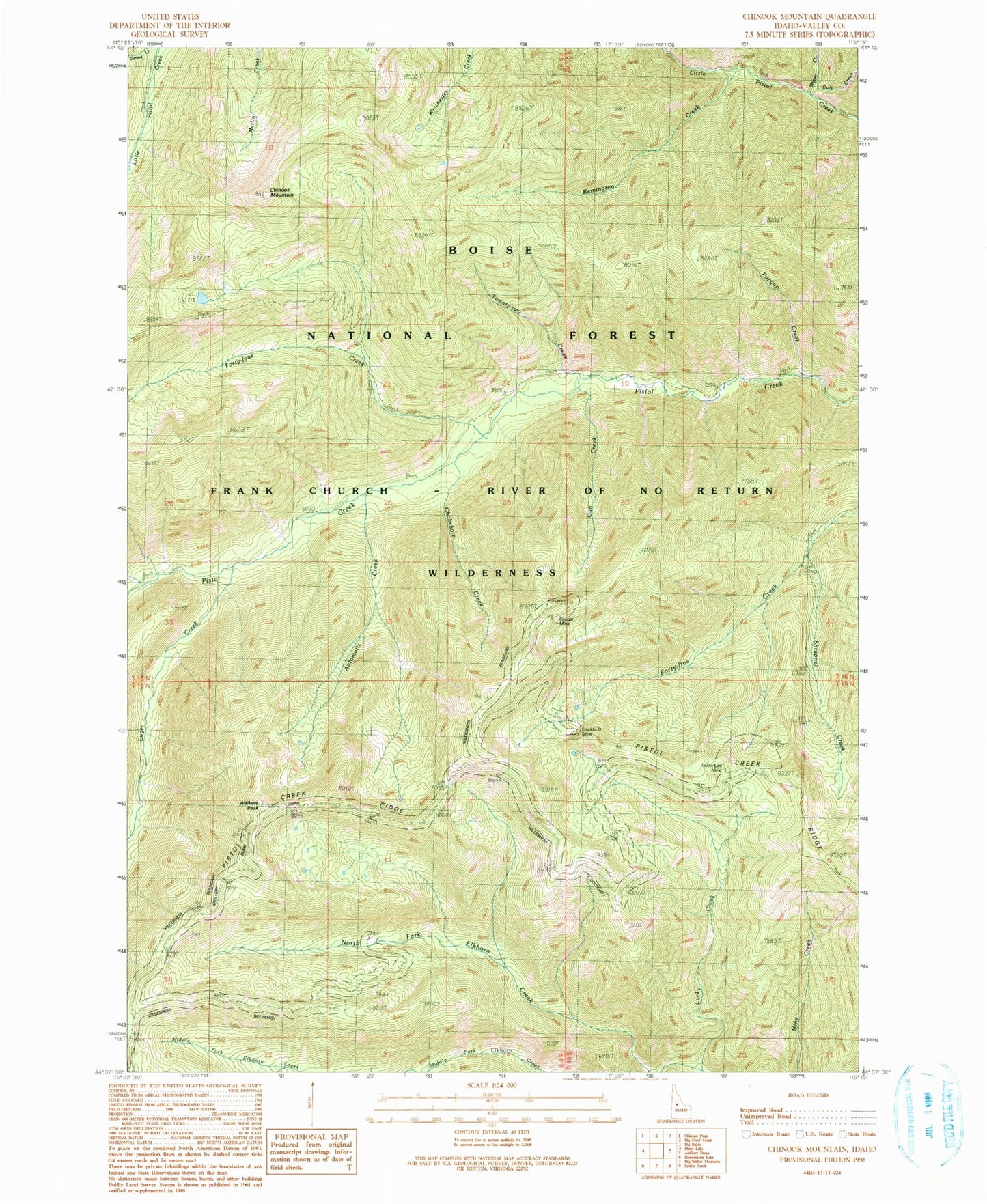
Classic USGS Chinook Mountain Idaho 7.5'x7.5' Topo Map
Couldn't load pickup availability
Historical USGS topographic quad map of Chinook Mountain in the state of Idaho. Map scale may vary for some years, but is generally around 1:24,000. Print size is approximately 24" x 27"
This quadrangle is in the following counties: Valley.
The map contains contour lines, roads, rivers, towns, and lakes. Printed on high-quality waterproof paper with UV fade-resistant inks, and shipped rolled.
Contains the following named places: Automatic Creek, Chinook Mountain, Chokebore Creek, Colt Creek, Cougar Mine, Forty-four Creek, Gun Creek, Lucky Creek, Lucky Lad Mine, Luger Creek, North Fork Elkhorn Creek, Popgun Creek, Remington Creek, Shrapnel Creek, Trigger Creek, Twenty-two Creek, Walkers Peak, ZIP Code: 83611