MyTopo
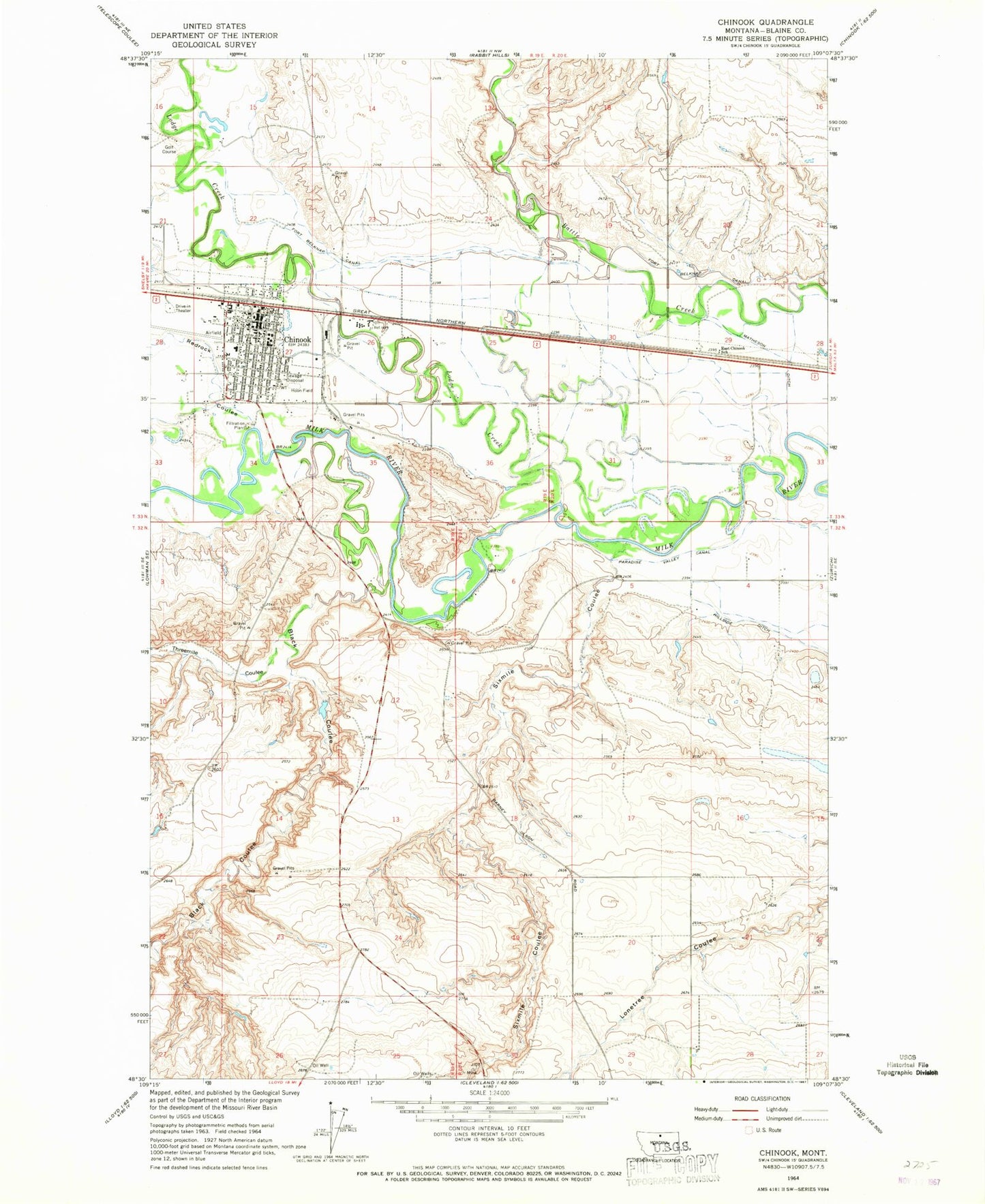
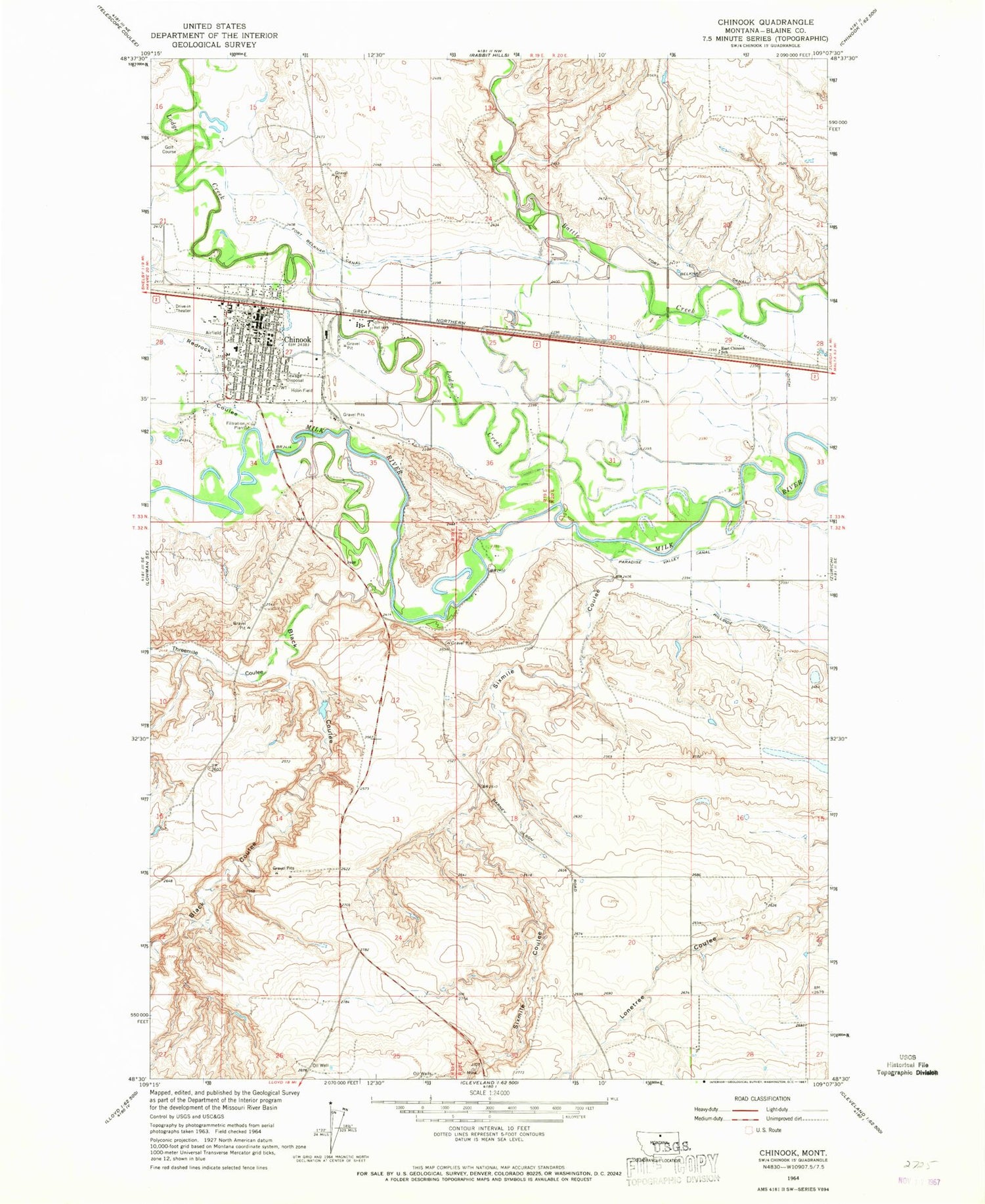
Classic USGS Chinook Montana 7.5'x7.5' Topo Map
Couldn't load pickup availability
Historical USGS topographic quad map of Chinook in the state of Montana. Map scale may vary for some years, but is generally around 1:24,000. Print size is approximately 24" x 27"
This quadrangle is in the following counties: Blaine.
The map contains contour lines, roads, rivers, towns, and lakes. Printed on high-quality waterproof paper with UV fade-resistant inks, and shipped rolled.
Contains the following named places: 32N19E02ADA_01 Well, 32N19E26AABA01 Well, 32N20E03BCDC01 Well, 33N19E02ABAD01 Well, 59523, American Lutheran Church, Assembly of God Church, Battle of Bears Paw Historical Marker, Bear Paw Court, Black Coulee, Blaine County Ambulance, Blaine County Courthouse, Blaine County Fairgrounds, Blaine County Library, Blaine County Museum, Blaine County Sheriff's Office, Burns Trailer Court, Centennial Park, Chinook, Chinook Alliance Church, Chinook Golf Club, Chinook High School, Chinook Police Department, Chinook Post Office, Chinook Volunteer Fire Department, Church of Christ, Church of the Nazerene, City of Chinook, Columbia Grain International Incorporated Elevator, Dawes, East Chinook School, Edgar G Obie Airport, Harvest State Cooperatives Elevator, Hoon Field, Kingdom Hall of Jehovahs Witnesses, Lodge Creek, Matheson Ditch, Meadowlark Elementary School, North Side Park, Paradise Diversion Dam, Presbyterian Church, Redrock Coulee, Saint Gabriels Catholic Church, Sharnikon Gulch, Six Mile School, Sixmile Coulee, Sprinkle Trailer Court, Sweet Medical Center, Sweet Memorial Nursing Home, Sweet Memorial Park, The Church of Jesus Christ of Latter Day Saints, Three Mile Creek, Threemile Coulee, United Methodist Church, Wildlife Museum, Zion Lutheran Church


