MyTopo
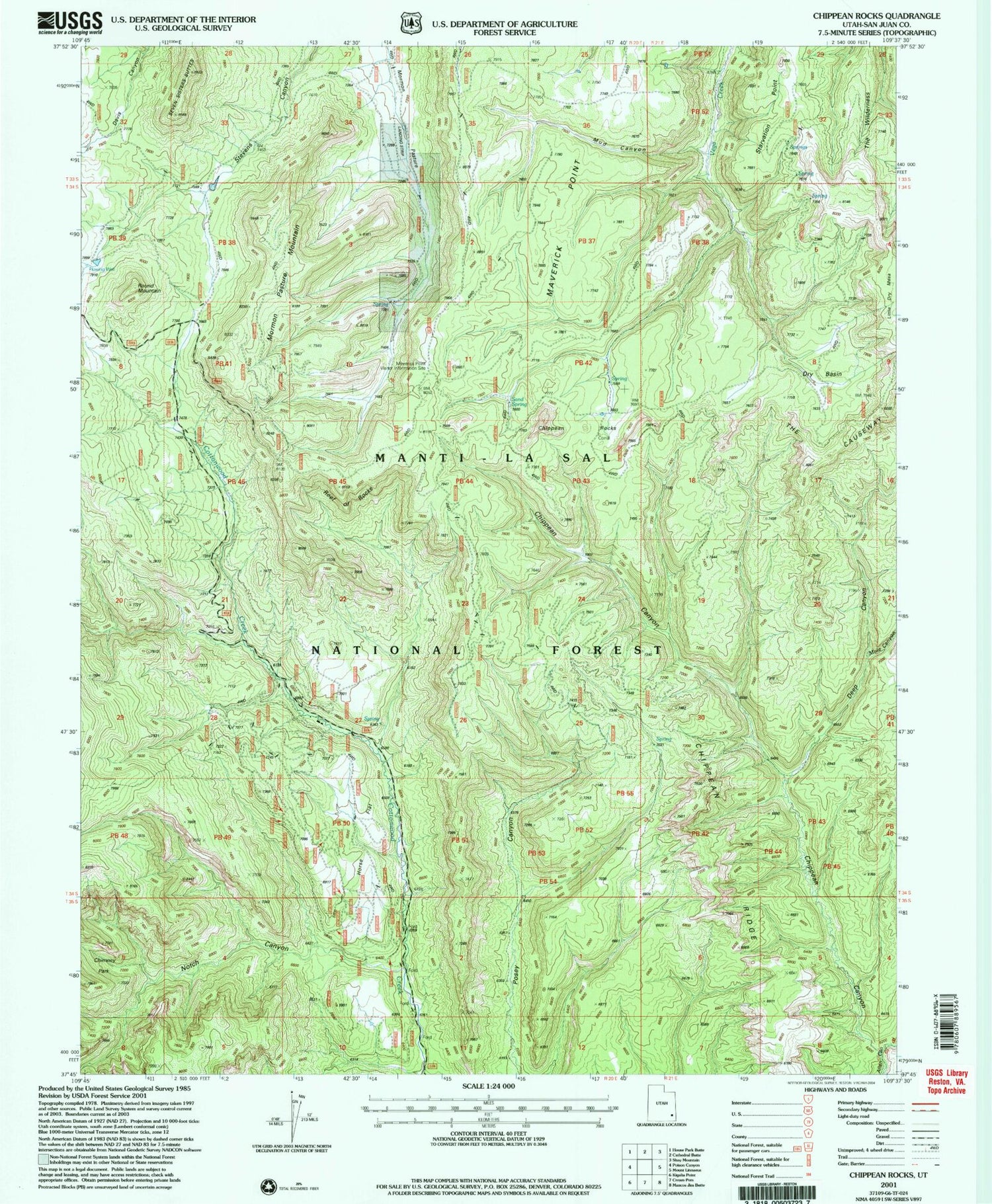
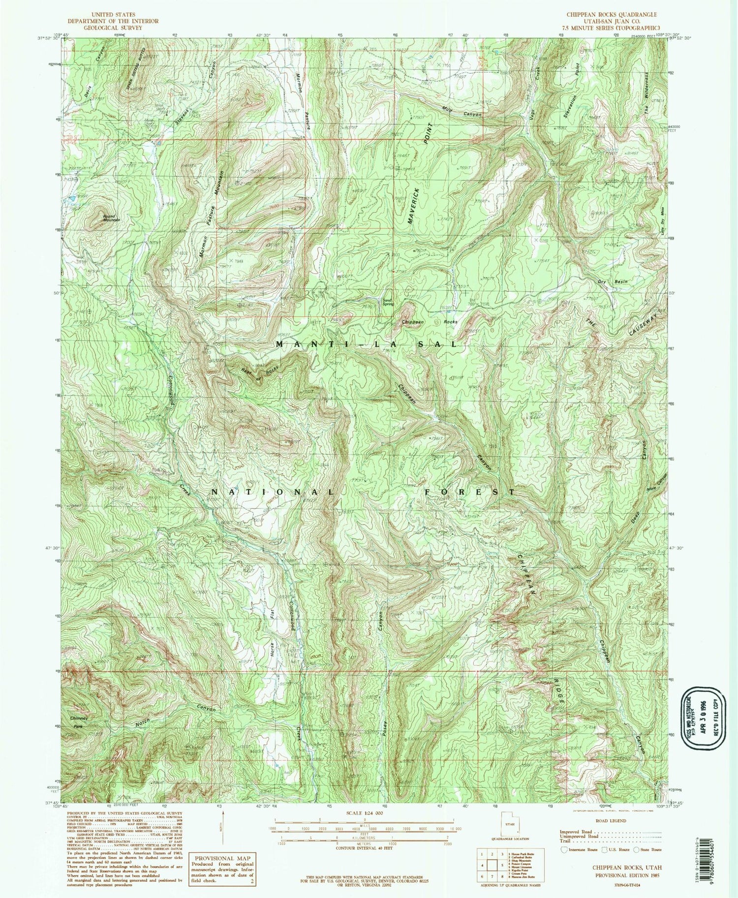
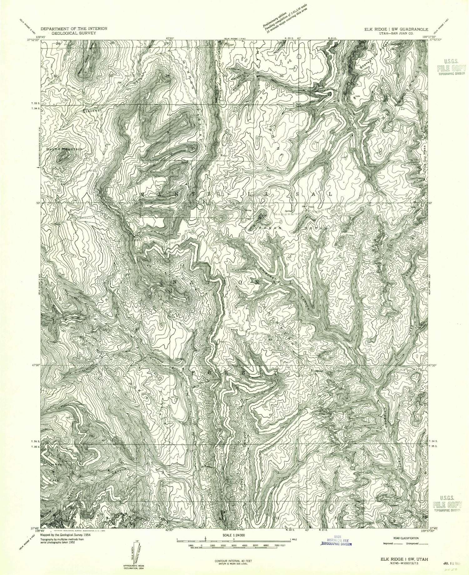
Classic USGS Chippean Rocks Utah 7.5'x7.5' Topo Map
Couldn't load pickup availability
Historical USGS topographic quad map of Chippean Rocks in the state of Utah. Typical map scale is 1:24,000, but may vary for certain years, if available. Print size: 24" x 27"
This quadrangle is in the following counties: San Juan.
The map contains contour lines, roads, rivers, towns, and lakes. Printed on high-quality waterproof paper with UV fade-resistant inks, and shipped rolled.
Contains the following named places: Chippean Canyon, Chippean Ridge, Chippean Rocks, Deep Canyon, Horse Flat, Maverick Point, Mormon Pasture, Mule Canyon, Notch Canyon, Round Mountain, Seven Sisters Buttes, Starvation Point, The Wilderness, Dry Basin, Mormon Pasture Mountain, Mud Canyon, Sand Spring, Maverick Visitor Information Site, Black Bean Mine, Avalanche Mine, Reef of Rocks, Maverick Point Overlook, Chippean Canyon, Chippean Ridge, Chippean Rocks, Deep Canyon, Horse Flat, Maverick Point, Mormon Pasture, Mule Canyon, Notch Canyon, Round Mountain, Seven Sisters Buttes, Starvation Point, The Wilderness, Dry Basin, Mormon Pasture Mountain, Mud Canyon, Sand Spring, Maverick Visitor Information Site, Black Bean Mine, Avalanche Mine, Reef of Rocks, Maverick Point Overlook


