MyTopo
Classic USGS Chippewa Lake South Michigan 7.5'x7.5' Topo Map
Couldn't load pickup availability
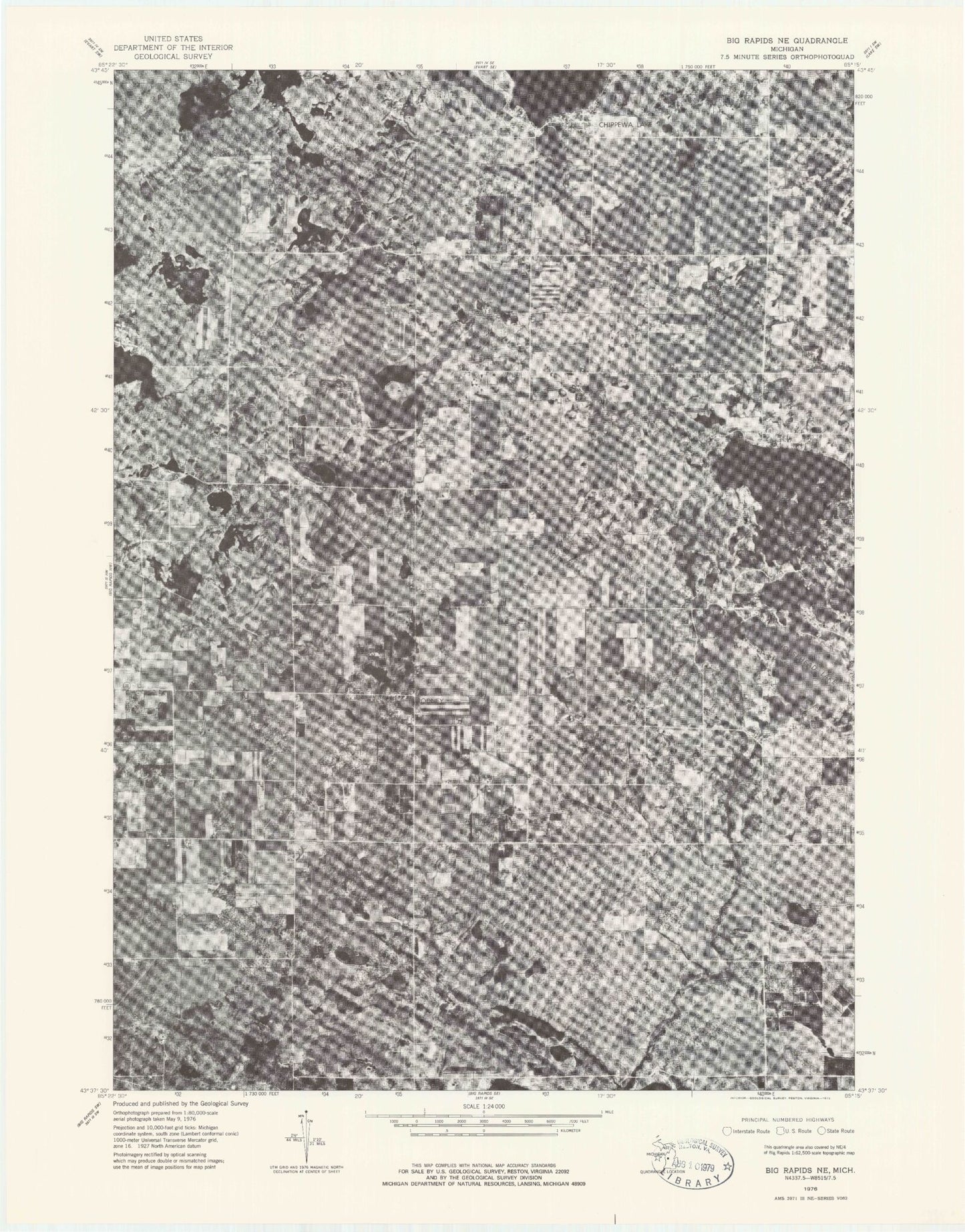
Historical USGS topographic quad map of Chippewa Lake South in the state of Michigan. Map scale may vary for some years, but is generally around 1:24,000. Print size is approximately 24" x 27"
This quadrangle is in the following counties: Mecosta.
The map contains contour lines, roads, rivers, towns, and lakes. Printed on high-quality waterproof paper with UV fade-resistant inks, and shipped rolled.
Contains the following named places: Anderson Lake, Austin Gas Storage Field, Barry Post Office, Chippewa - Martiny Fire Department, Chippewa Lake, Chippewa Lake Cemetery, Chippewa Lake Community Church, Chippewa Lake Post Office, Chippewa Lake Station, Chippewa Township Cemetery, Chippewa Township Hall, Colby Lake, Cole Creek, Cook Lake, Cranberry Lake, Granger Lake, Hillsview Lake, Horesehead Lake Marina, Horsehead Lake, Hunters Creek Estates Mobile Home Park, Jehnsen Lake, Kirschner Farm Cemetery, Martiny Township Cemetery, Maynard School, Mecosta County, Mecosta Morton Airport, Nijode Lakes, Perch Lake, Rodney, Rodney Cemetery, Rodney Post Office, Rodney Station, Spring Lake, Spring Lakes, Thompson Lake, Township of Martiny, ZIP Code: 49342