MyTopo
Classic USGS Chiwaukum Mountains Washington 7.5'x7.5' Topo Map
Couldn't load pickup availability
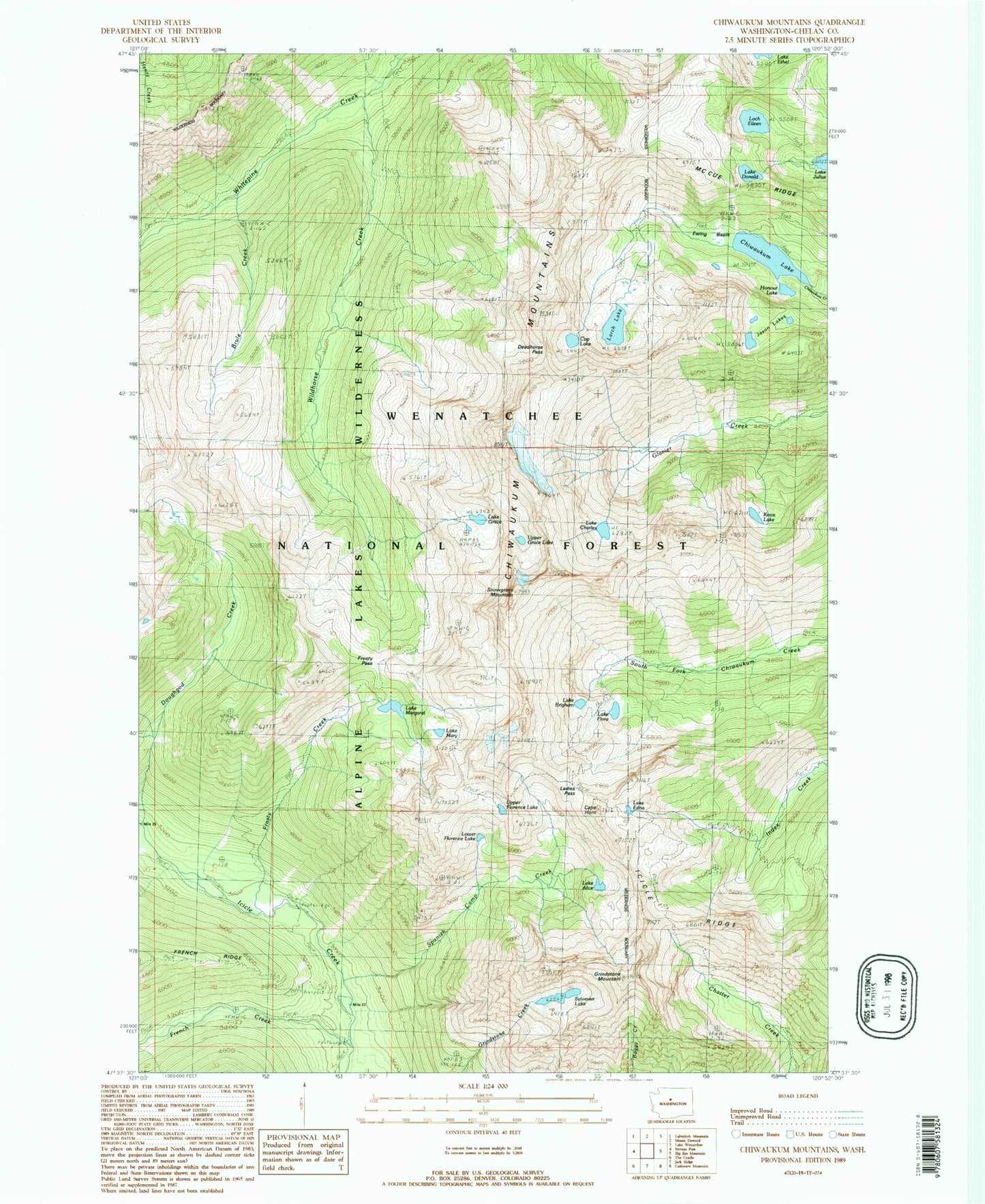
Historical USGS topographic quad map of Chiwaukum Mountains in the state of Washington. Typical map scale is 1:24,000, but may vary for certain years, if available. Print size: 24" x 27"
This quadrangle is in the following counties: Chelan.
The map contains contour lines, roads, rivers, towns, and lakes. Printed on high-quality waterproof paper with UV fade-resistant inks, and shipped rolled.
Contains the following named places: Lake Alice, Lake Brigham, Brule Creek, Cape Horn, Lake Charles, Chiwaukum Lake, Chiwaukum Mountains, Cup Lake, Deadhorse Pass, Lake Donald, Lake Edna, Ewing Basin, Lake Flore, French Creek, French Creek Campground, Frosty Creek, Frosty Pass, Lake Grace, Grindstone Mountain, Honour Lake, Jason Lakes, Lake Julius, Knox Lake, Ladies Pass, Larch Lake, Loch Eileen, Lower Florence Lake, Lake Margaret, Lake Mary, Mccue Ridge, Spanish Camp Creek, Lake Sylvester, Upper Florence Lake, Upper Grace Lake, Wildhorse Creek, Packrat Camp, Lake Jason, Snowgrass Mountain


