MyTopo
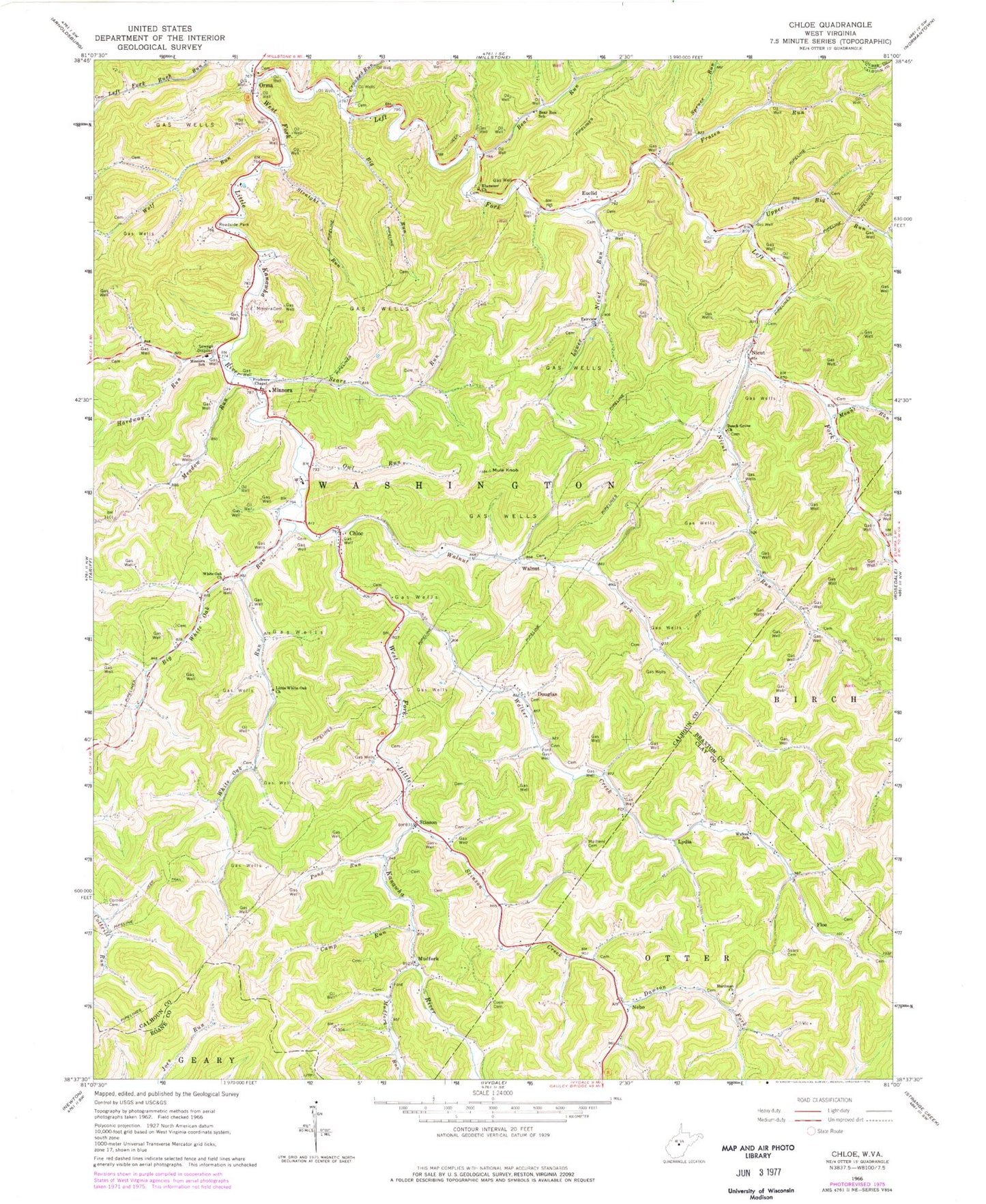
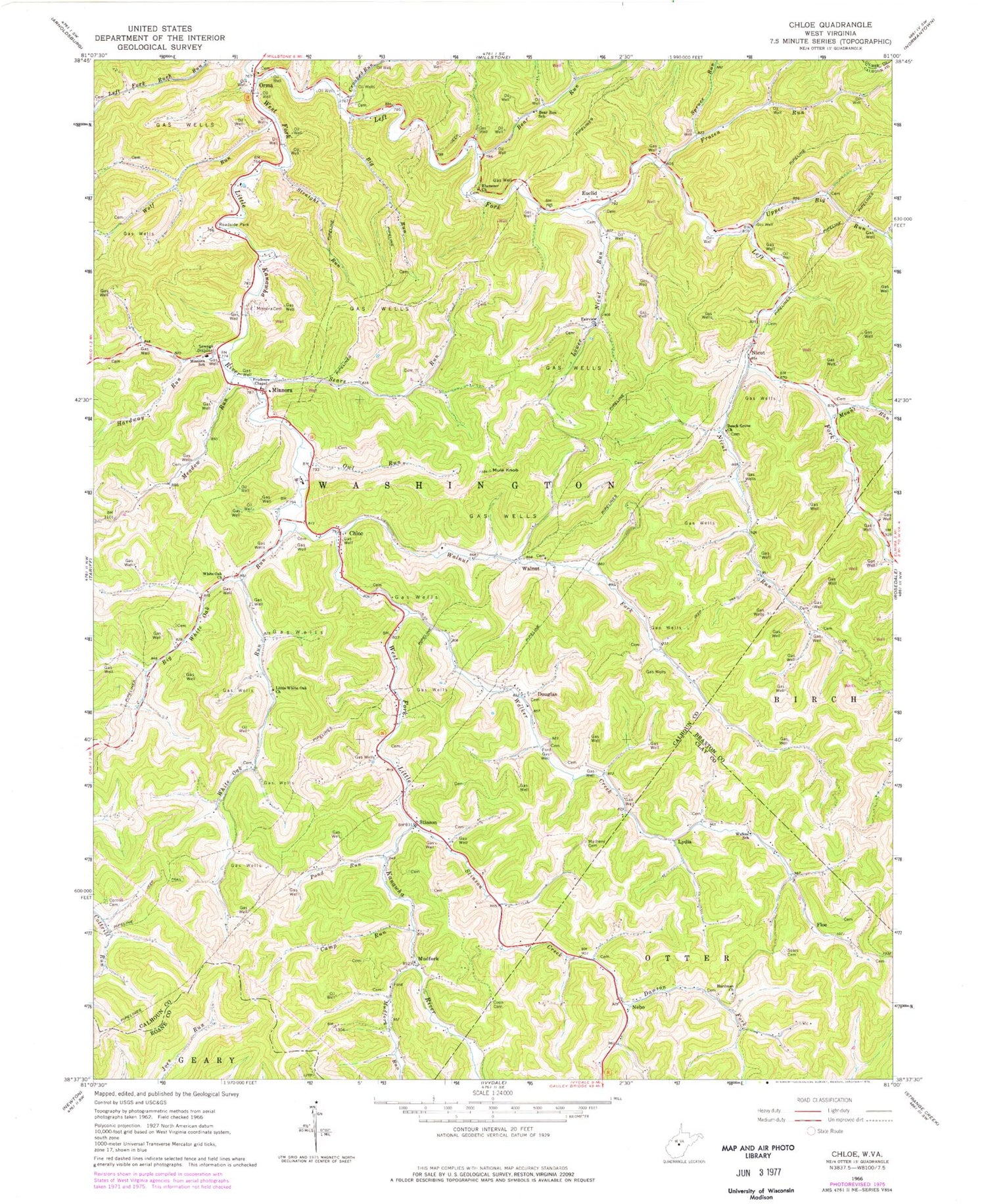
Classic USGS Chloe West Virginia 7.5'x7.5' Topo Map
Couldn't load pickup availability
Historical USGS topographic quad map of Chloe in the state of West Virginia. Map scale may vary for some years, but is generally around 1:24,000. Print size is approximately 24" x 27"
This quadrangle is in the following counties: Braxton, Calhoun, Clay, Gilmer, Roane.
The map contains contour lines, roads, rivers, towns, and lakes. Printed on high-quality waterproof paper with UV fade-resistant inks, and shipped rolled.
Contains the following named places: Bailey - Siers Cemetery, Bear Run, Bear Run School, Beech Grove Cemetery, Beech Grove Church, Big White Oak Run, Booher Cemetery, Boone Cemetery, Calhoun County Emergency Medical Services Station 410, Calhoun County Sheriff's Office - Substation, Camp Run, Chenowith - Reip Cemetery, Chloe, Chloe Post Office, Clark Jarvis Cemetery, Coen Cemetery, Conley Cemetery, Cooper Cemetery, Cottrill Cemetery, Crooked Run, Dawson Fork, District 5, Douglas, Downey Cemetery, Ebenezer Baptist Church, Ebenezer Cemetery, Euclid, Fairview Cemetery, Fairview Church, Floe, Frozen Run, Gomez, Goodrich Cemetery, Greathouse Cemetery, Hardway Run, Hawkins Cemetery, Hicks Cemetery, King Cemetery, Lamb Cemetery, Left Fork West Fork Little Kanawha River, Little White Oak Church, Losie, Lower Nicut Run, Lydia, Matheny Cemetery, McCune Cemetery, Meadow Run, Minnora, Minnora Cemetery, Minnora Post Office, Minnora School, Mollohan Cemetery, Morris Cemetery, Moss Cemetery, Mount Run, Mudfork, Mudfork Run, Mule Knob, Nebo, Nebo Baptist Church, Nebo Post Office, Nebo-Hallsburg Hollow, Nicut, Nicut Post Office, Nicut Run, Old Metheney Ridge Church, Orma, Orma Cemetery, Owl Run, Pond Run, Prudence Chapel, Sears Cemetery, Sears Run, Spruce Run, Stinson, Stinson Creek, Straight Run, Upper Big Run, Upper West Fork Volunteer Fire Department, Walker Creek, Walker School, Walnut, Walnut Cemetery, Walnut Fork, Walnut Methodist Church, White Oak Church, White Oak Run, Wolf Run, ZIP Codes: 25141, 25235, 25268


