MyTopo
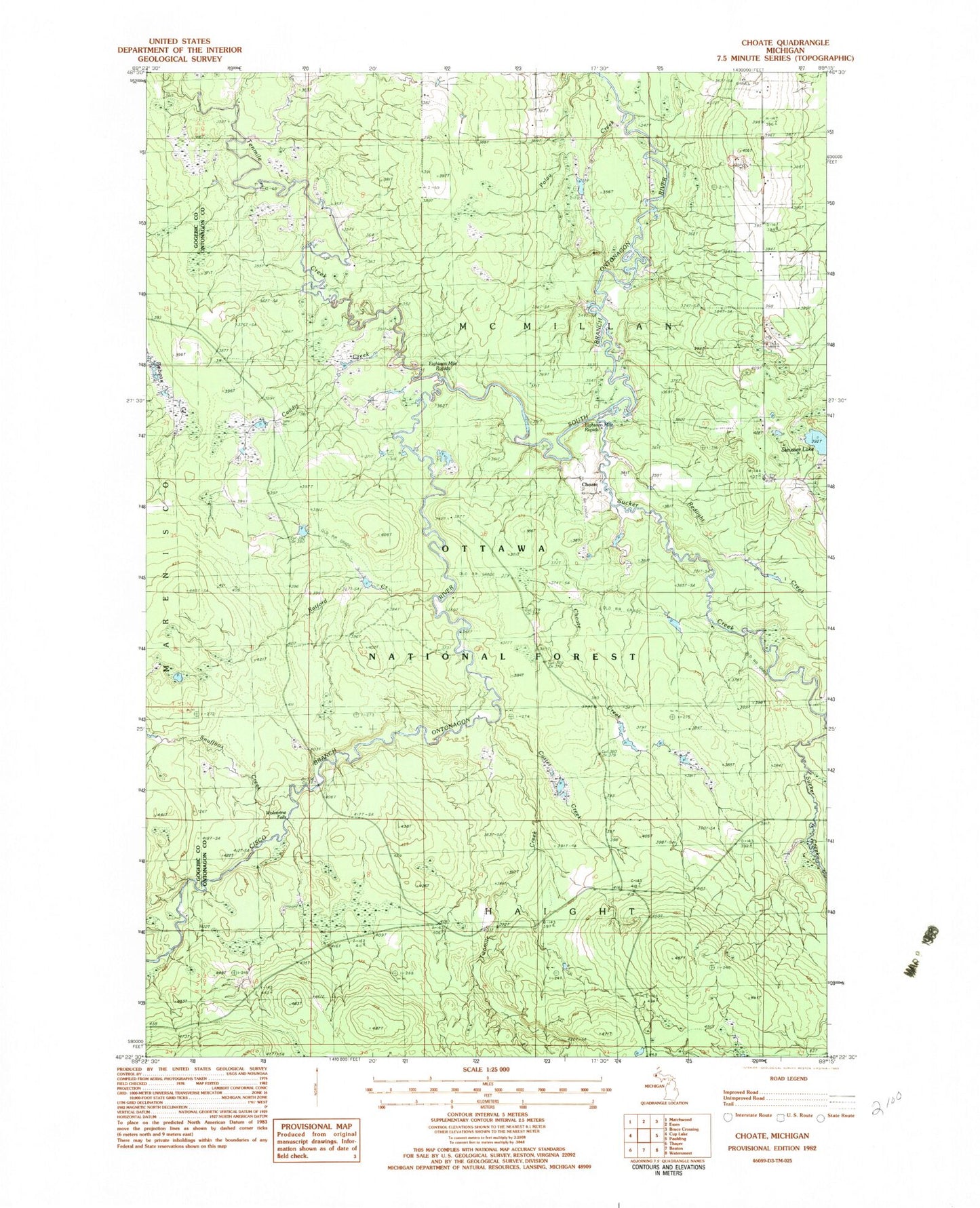
Classic USGS Choate Michigan 7.5'x7.5' Topo Map
Couldn't load pickup availability
Historical USGS topographic quad map of Choate in the state of Michigan. Map scale may vary for some years, but is generally around 1:24,000. Print size is approximately 24" x 27"
This quadrangle is in the following counties: Gogebic, Ontonagon.
The map contains contour lines, roads, rivers, towns, and lakes. Printed on high-quality waterproof paper with UV fade-resistant inks, and shipped rolled.
Contains the following named places: Bluff Creek, Caddis Creek, Choate, Choate Creek, Choate Post Office, Choate Station, Cisco Branch Ontonagon River, Custer Creek, Eighteen Mile Rapids, Polau Creek, Ratford Creek, Redlight Creek, Snuffbox Creek, Steusser Lake, Sucker Creek, Tenmile Creek, Twomile Creek, Wolverine Falls