MyTopo
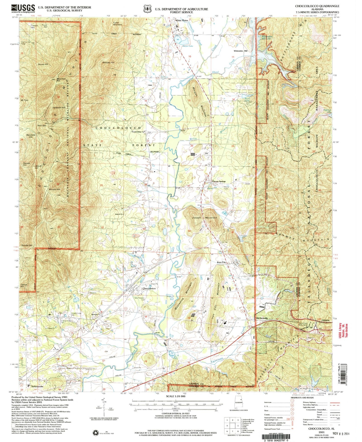
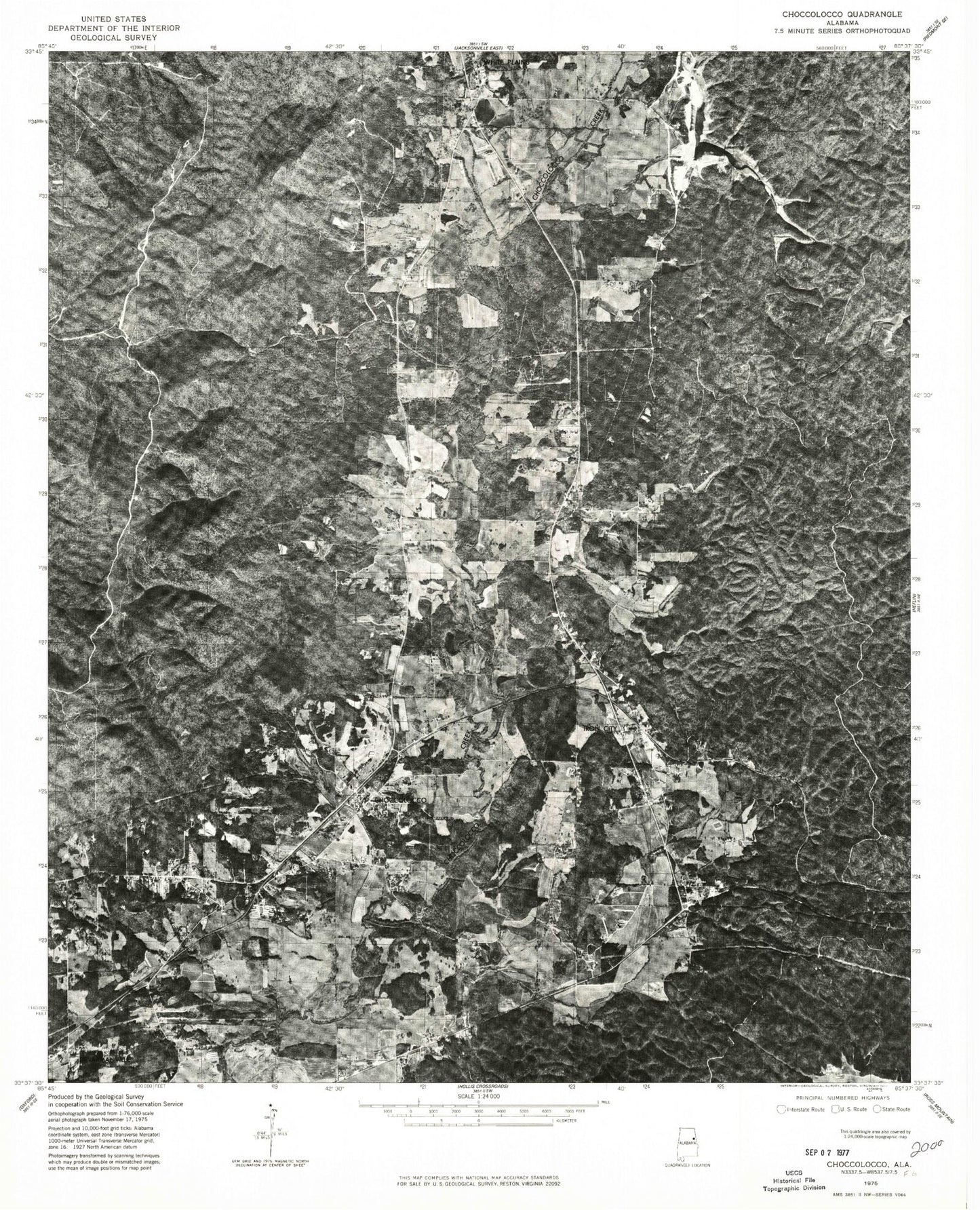
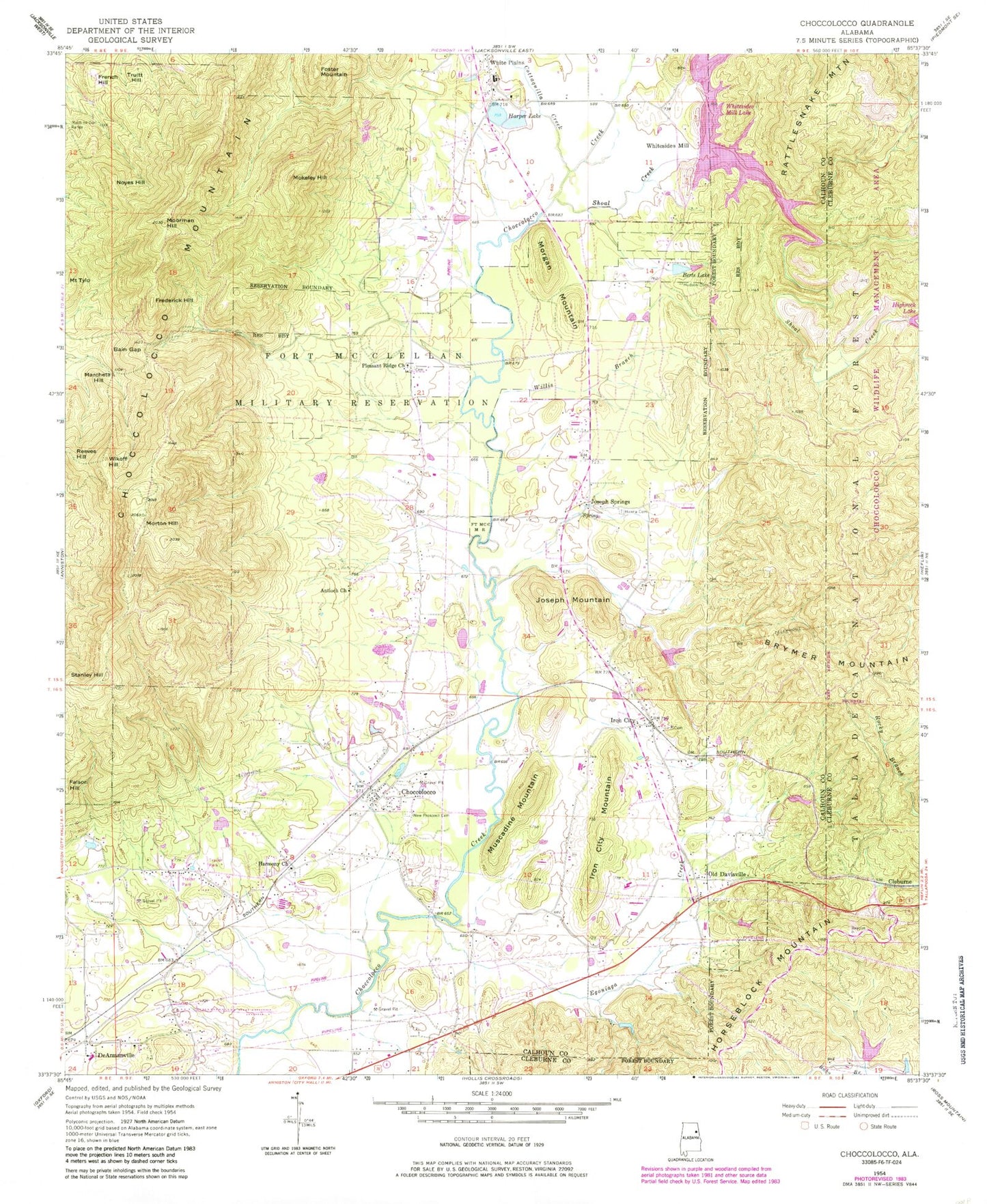
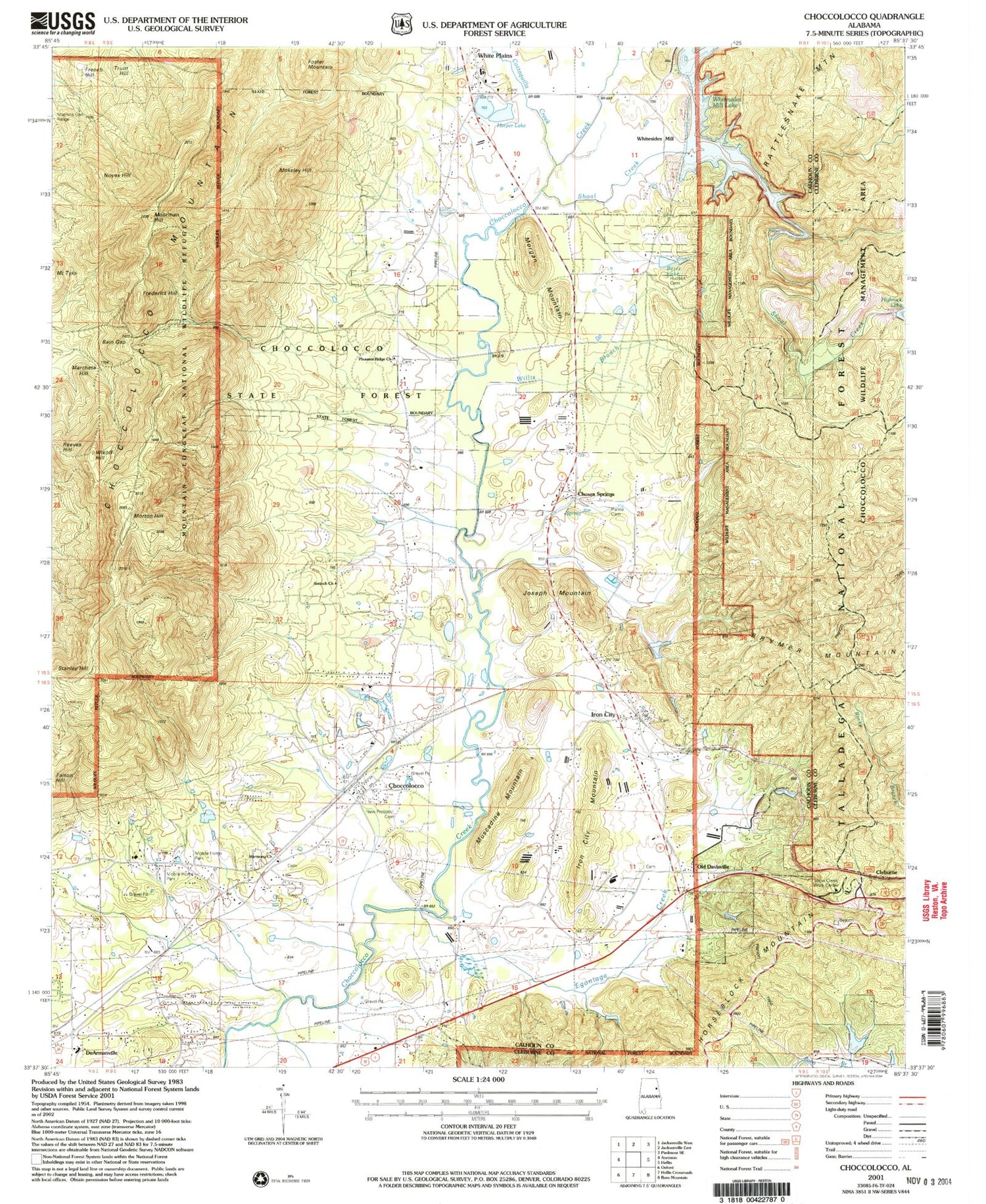
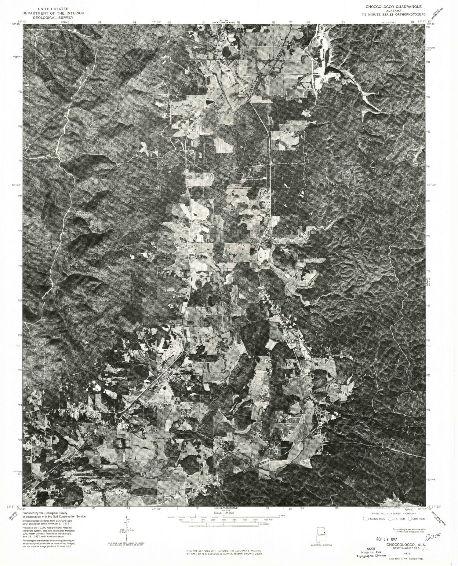
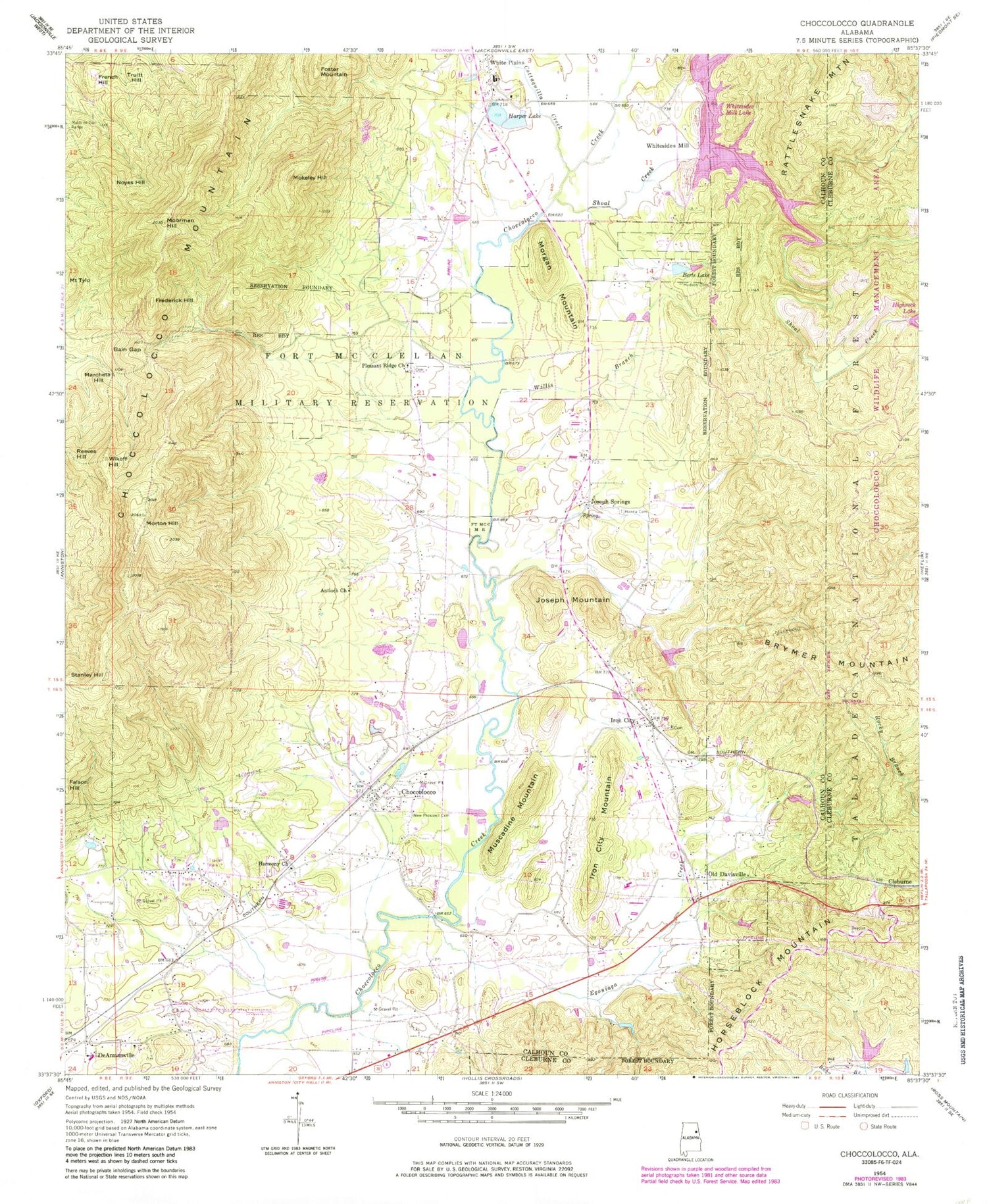
Classic USGS Choccolocco Alabama 7.5'x7.5' Topo Map
Couldn't load pickup availability
Historical USGS topographic quad map of Choccolocco in the state of Alabama. Typical map scale is 1:24,000, but may vary for certain years, if available. Print size: 24" x 27"
This quadrangle is in the following counties: Calhoun, Cleburne.
The map contains contour lines, roads, rivers, towns, and lakes. Printed on high-quality waterproof paper with UV fade-resistant inks, and shipped rolled.
Contains the following named places: Alabama Presbyterian College (historical), Choccolocco Valley, Antioch African Methodist Episcopal Church, Bain Gap, Berts Lake, Chinch Creek, Choccolocco, Choccolocco Mountain, Cleburne, Cottaquilla Creek, Egoniaga Creek, Faison Hill, Frederick Hill, French Hill, Hanna Cemetery, Harmony Baptist Church, Harper Lake, Hudson Cemetery, Iron City, Iron City Mountain, Joseph Mountain, Joseph Springs, Marcheta Hill, Mokeley Hill, Moorman Hill, Morgan Mountain, Morton Hill, Muscadine Mountain, New Prospect Cemetery, Noyes Hill, Old Davisville, Pleasant Ridge Baptist Church, Reeves Hill, Shoal Creek, Stanley Hill, Truitt Hill, White Plains, Whitesides Mill, Wikoff Hill, Willis Branch, Bonner Dam, Bonner Lake, Thrift Dam, Thrift Pond, Albert Cobb Lake, Harper Number 2 Dam, Allen Chapel Methodist Church, Big Oak Mountain, Choccolocco Elementary School, Old Davistown Cemetery, DeArmanville Junior High School, Harmony, Iron City Baptist Church, Joseph Creek, Mallory Mill (historical), Pinehill Golf Club, Pleasant Ridge, White Plains High School, Whitesides Mill Lake, Corn Grove (historical), Bethany Baptist Church, Blacks Crossroads, Chosea Springs Covered Bridge (historical), Chosea Springs School (historical), Corn House Branch, Corn House Creek, Hannas Spring Branch, Iron City United Methodist Church, New Prospect Baptist Church, Pleasant Ridge School (historical), Tooktocaugee (historical), White, White Plains Missionary Baptist Church, White Plains United Methodist Church, Callandar Spring, Crisswell Spring, East Cottaquilla Springs, Joseph Springs, Lower Harper Spring, Tally Spring, Upper Harper Spring, Whiteside Spring, Choccolocco Division, Iron City Cemetery, Fort McClellan, Choccolocco Census Designated Place, Quad Cities Volunteer Fire Department Station 2, White Plains Volunteer Fire Department, Quad Cities Volunteer Fire Department Station 1, Mountain Longleaf National Wildlife Refuge, Choccolocco Post Office, De Armanville Post Office, Alabama Presbyterian College (historical), Choccolocco Valley, Antioch African Methodist Episcopal Church, Bain Gap, Berts Lake, Chinch Creek, Choccolocco, Choccolocco Mountain, Cleburne, Cottaquilla Creek, Egoniaga Creek, Faison Hill, Frederick Hill, French Hill, Hanna Cemetery, Harmony Baptist Church, Harper Lake, Hudson Cemetery, Iron City, Iron City Mountain, Joseph Mountain, Joseph Springs, Marcheta Hill, Mokeley Hill, Moorman Hill, Morgan Mountain, Morton Hill, Muscadine Mountain, New Prospect Cemetery, Noyes Hill, Old Davisville, Pleasant Ridge Baptist Church, Reeves Hill, Shoal Creek, Stanley Hill, Truitt Hill, White Plains, Whitesides Mill, Wikoff Hill, Willis Branch, Bonner Dam, Bonner Lake, Thrift Dam, Thrift Pond, Albert Cobb Lake, Harper Number 2 Dam, Allen Chapel Methodist Church, Big Oak Mountain, Choccolocco Elementary School, Old Davistown Cemetery, DeArmanville Junior High School, Harmony, Iron City Baptist Church, Joseph Creek, Mallory Mill (historical), Pinehill Golf Club, Pleasant Ridge, White Plains High School, Whitesides Mill Lake, Corn Grove (historical), Bethany Baptist Church, Blacks Crossroads, Chosea Springs Covered Bridge (historical), Chosea Springs School (historical), Corn House Branch, Corn House Creek, Hannas Spring Branch, Iron City United Methodist Church, New Prospect Baptist Church, Pleasant Ridge School (historical), Tooktocaugee (historical), White, White Plains Missionary Baptist Church, White Plains United Methodist Church, Callandar Spring, Crisswell Spring, East Cottaquilla Springs, Joseph Springs, Lower Harper Spring, Tally Spring, Upper Harper Spring, Whiteside Spring, Choccolocco Division, Iron City Cemetery, Fort McClellan, Choccolocco Census Designated Place, Quad Cities Volunteer Fire Department Station 2, White Plains Volunteer Fire Department, Quad Cities Volunteer Fire Department Station 1, Mountain Longleaf National Wildlife Refuge, Choccolocco Post Office, De Armanville Post Office
